description
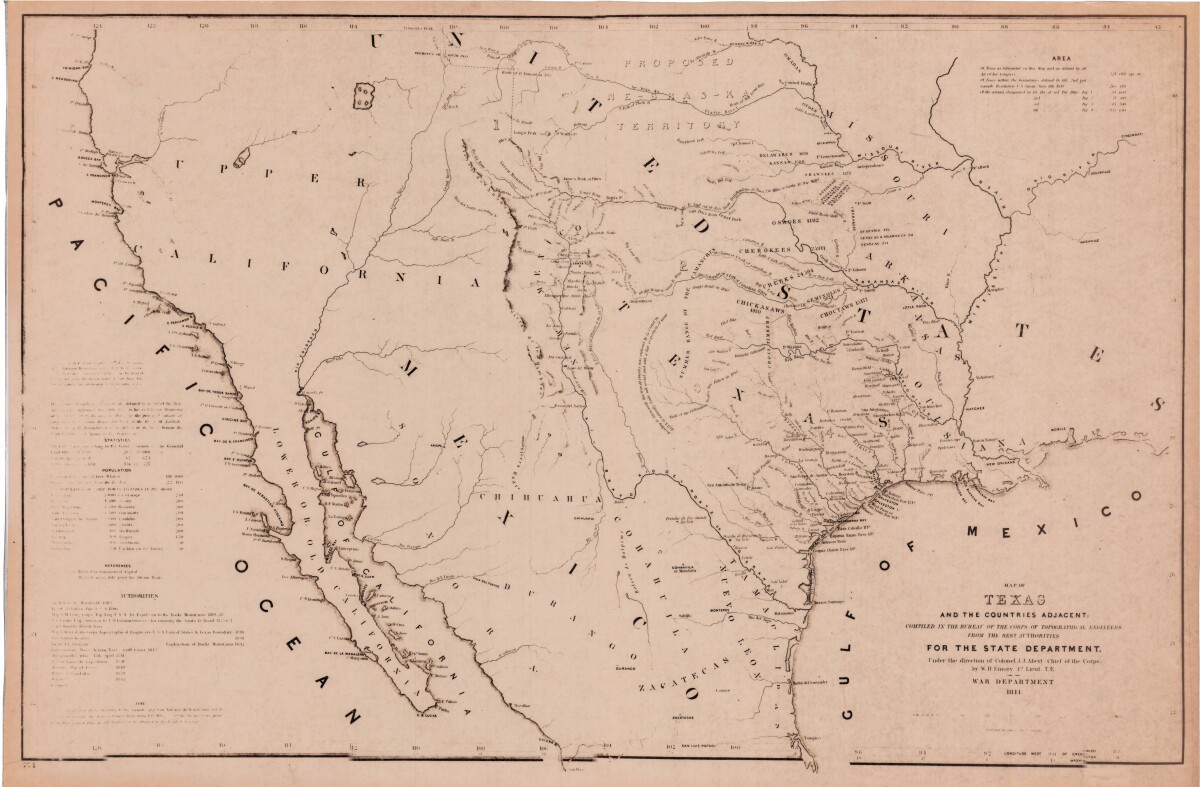
This map of Texas and its adjacent countries was compiled for the state department and includes listed land, area, and population statistics, as well as references. Topographical features shown are sierras, mountains, lakes, rivers and rios. Indian tribe territories, trails, and military and discovery routes are indicated.
Map of Texas and the Countries Adjacent

Report this entry
More from the same community-collection
Car
These may be two of the newsmen who congregated in El Paso during the Mexican Revolution.
Irrigation
Irrigation is the artificial application of water to land to assist in the production of crops.
U.S. Cavalry Traveling
This pictures captures the U.S. Cavalry traveling on the road.
Men Preparing To Fire Artillery
This picture shows men, probably revolutionaries, preparing to fire artillery.
Family Near the Rio Grande
Image of family living in poor conditions. Family posing between two shacks. Five children and three women--one man.
Chuck Wagon and Cook
The Chuck wagon was the headquarters, rallying, eating, and resting location. Nick Williams was the cook.
Pancho Villa
Images of the Mexican Revolution - 1910 - 1920. Image of Pancho Villa, top middle of the page.
Classic Car - El Paso, Texas
Orange classic car still drives around areas in El Paso. Unknown location.
Bocho Mural
Bocho is slang for a Volkswagen Beetle (Bug).
Bocho Mural
Bocho is slang for a Volkswagen Beetle (Bug).
classic auto
Classic auto in El Paso, possibly on I-10.
Teepees at Indian Cliffs Ranch in Fabens, TX
Teepees at Indian Cliffs Ranch in Fabens, TX - These tepees are located at Indian Cliffs Ranch which is home...
House in Central
Home in central El Paso, Texas.
George W. Hare
George Hare was born in 1876 and died in 1961. He was photographed in Houston, Texas.
Unknown man
This photograph of an unknown man in military attire was taken at the Arriaga Studio, Mariscala 5, Mexico.