Map of Texas
Mapa de Texas

Map of Texas
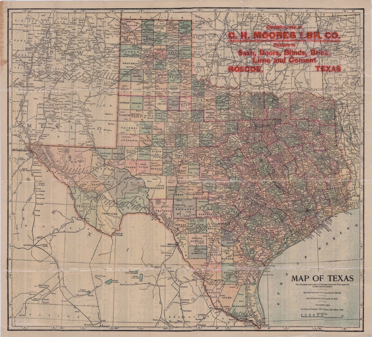
This map of Texas includes colored divisions of counties with principal cities and towns. Congressional districts are outlined. Bordering states, cities, country and gulf information is shown. Reverse side contains population statistics for all principal cities and towns shown on pictorial map.