Canutillo-Sheet 4647 I NE
Canutillo - hoja 4647 I Noreste
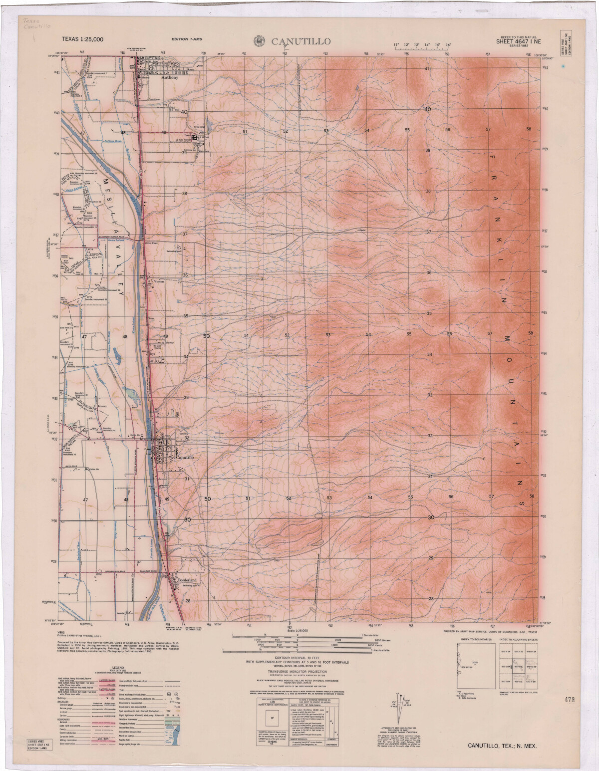
Canutillo-Sheet 4647 I NE

A topographical and road map of Mesilla Valley: Canutillo, Texas and Canutillo, New Mexico. Boundary lines between El Paso and Doña Ana counties and Texas and New Mexico are represented.

Area: Upper Valley / Canutillo

Source: Army Map Service (AMLD), Corps of Engineers, U.S. Army

Uploaded by: Border Heritage Center

Comments

Add a comment
Thank you for your comment

Report this entry

Choose the most important reason for this report

Your name

Your email address

Optional detail

Thank you for your report

home.search_collection