Map and Street Guide of El Paso, Texas circa 1925
Mapa y guía callejera de El Paso Texas
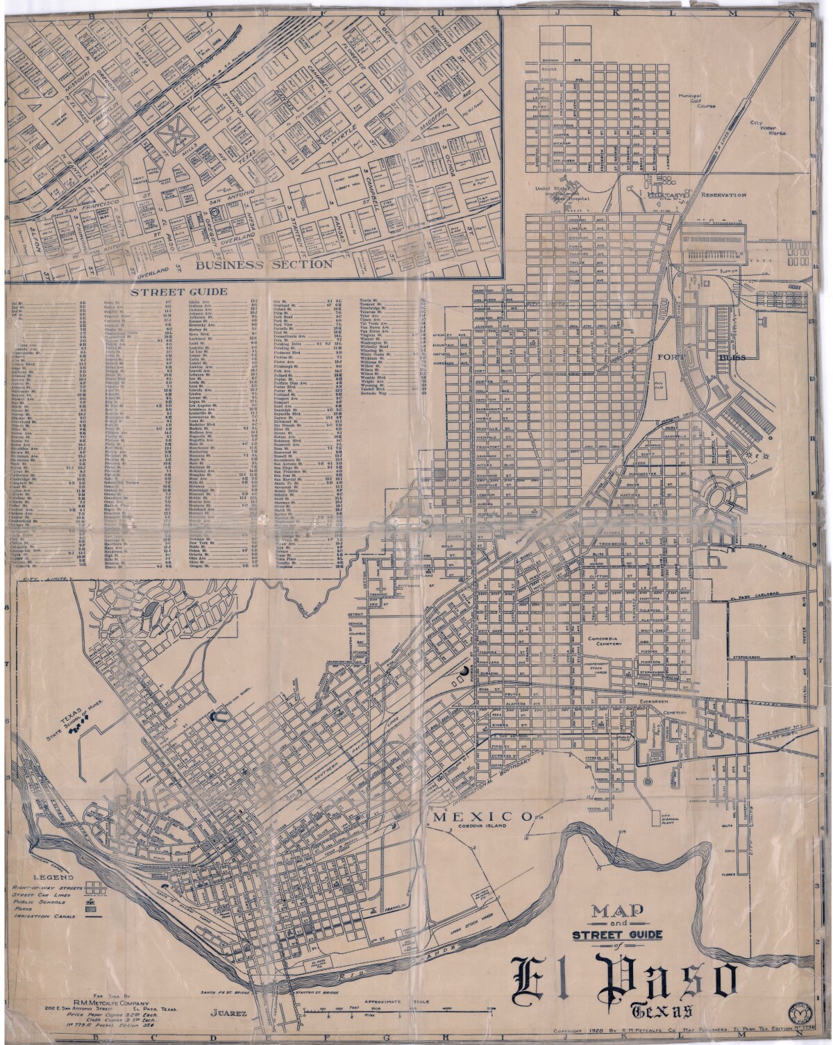
Mapa y guía callejera de El Paso Texas
Mapa de 1928 que incluye calles, ubicación de escuelas, parques, acequias, puentes internacionales, la isla de Córdova y la reserva militar Ft. Bliss.
Reportar esta entrada
Más sobre la misma comunidad-colección
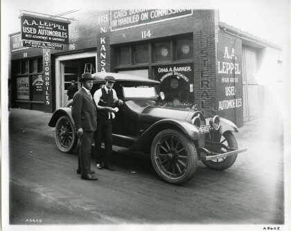
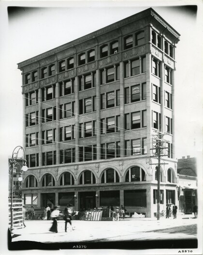
Escena de calle-Paseo de Automóviles
This section of North Kansas Street was known as "Automobile ...
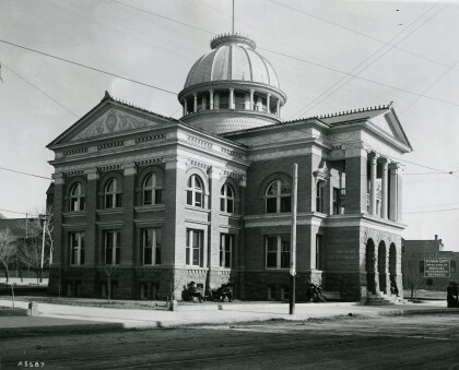
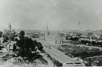
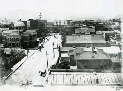
Iglesia yJuzgados del Condado en la década de 1890
This picture, dating back to the 1890s, shows the County ...
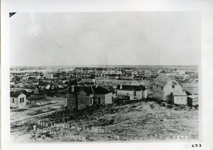
Vista de El Paso desde Mesa Garden
The picture captures El Paso between 1890 and 1900. It was taken ...
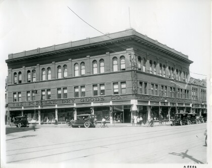
La compañia Popular de bienes de consumo
The Popular department store chain, founded by Adolph Schwartz, ...
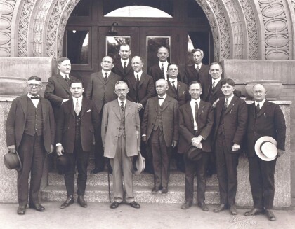
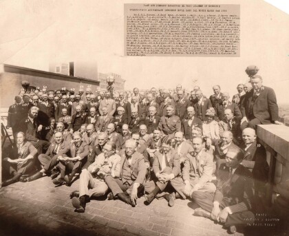
Cámara de Comercio Universidad Almuerzo
These are the past and present directors of the El Paso Chamber ...
Placa de la avenida San Antonio
This sign marks the corner of East San Antonio Avenue and South ...
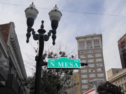
Señalamiento de la Calle Norte Mesa en el centro de El Paso, Texas
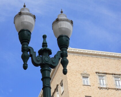
Image of N. Mesa Street with sign and lamp post in downtown El ...
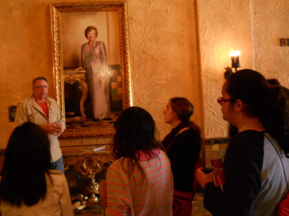
Salón Betty Moor MacGuire - El Paso Texas
Photograph of the Betty Moor MacGuire Hall. The picture features ...
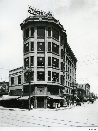
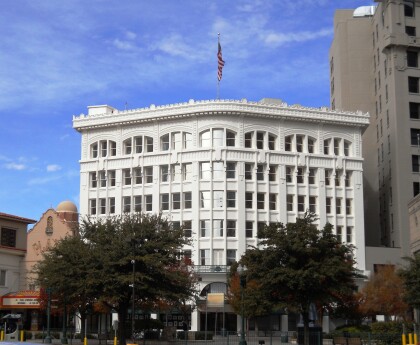
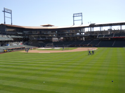
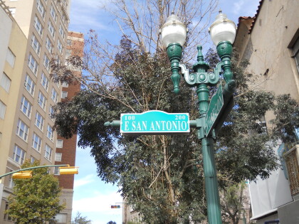
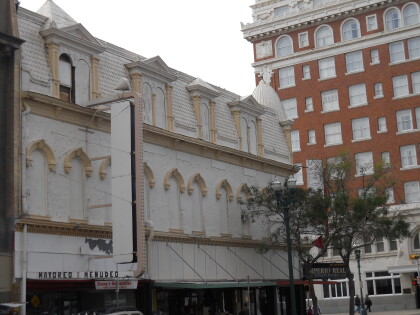
what happened to the old Thredkeld Commissary building in El Paso TX LH Manning company
Map & Street Guide, El Paso, TX circa 1925 Border Heritage Center is part of public library downtown El Paso.