North Franklin Mountain-Sheet 4747 IV NW
Montaña Franklin Norte - Hoja 4747 IV Noroeste
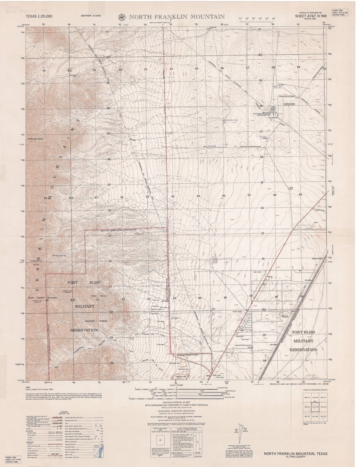
North Franklin Mountain-Sheet 4747 IV NW
A topographical map of the North Franklin Mountain delineates Fort Bliss Military Reservation, underground gas pipeline roads, chief interstate roadways, and railroad lines. A Road data legend is included.
Report this entry
More from the same community-collection
Native Plants Program with Alex Mares - El Paso, Texas
Alex Mares, chair of the Chihuahuan Desert Education Coalition, ...
Texas Sotol Plant in the Northeast Mountains
Texas sotol has light green leaves, a short trunk, and ...
Texas Sotol Plant in the Northeast Mountains
Texas sotol has light green leaves, a short trunk, and ...
Texas Sotol Plant in the Northeast Mountains
Texas sotol has light green leaves, a short trunk, and ...
Texas Sotol Plant in the Northeast Mountains
Texas sotol has light green leaves, a short trunk, and ...
Texas Sotol Plant in the Northeast Mountains
Texas sotol has light green leaves, a short trunk, and ...
Texas Sotol Plant in the Northeast Mountains
Texas sotol has light green leaves, a short trunk, and ...
Texas Sotol Plant in the Northeast Mountains
Texas sotol has light green leaves, a short trunk, and ...

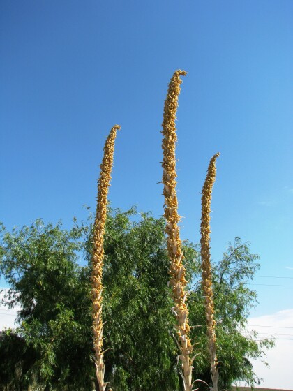
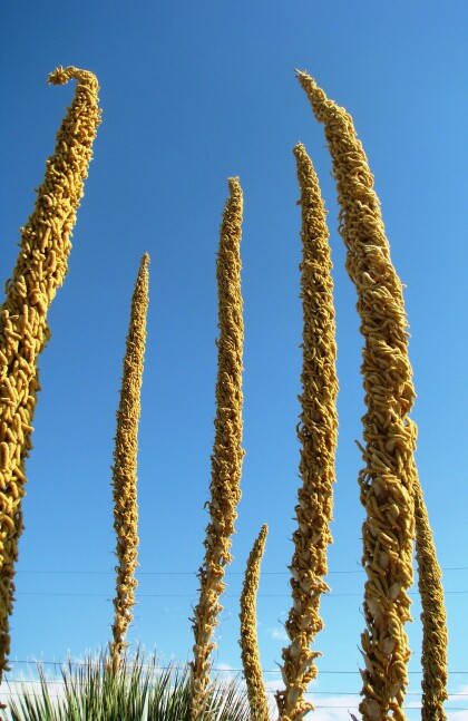
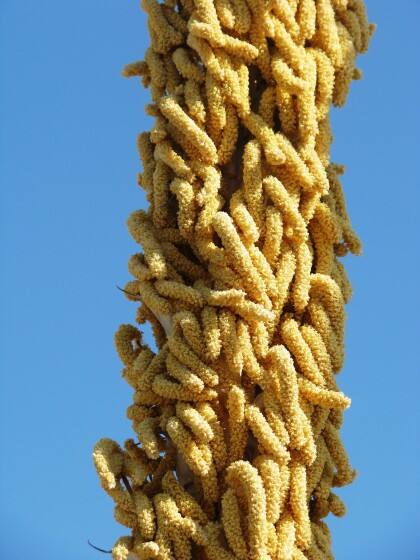
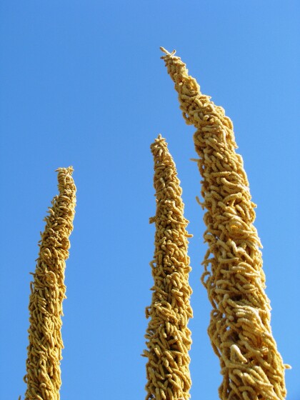
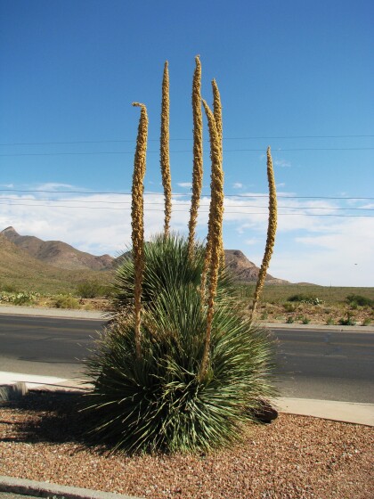
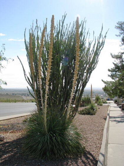
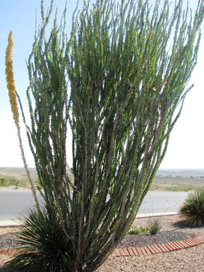
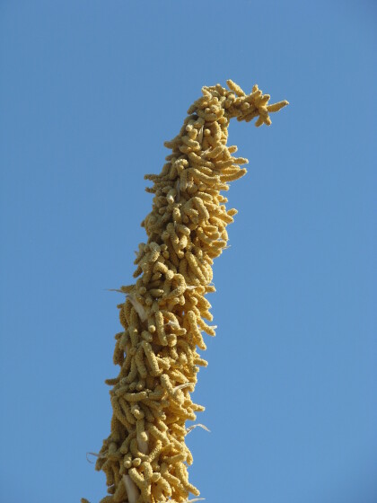
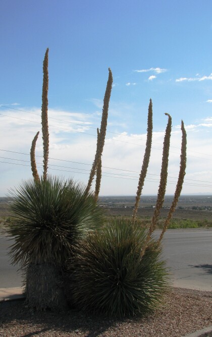
Image of topographical map of Northeast El Paso TX shows role of rail line in creating this district.
Map housed at public library downtown El Paso, TX.