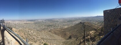
Post Card Franklin Mountains
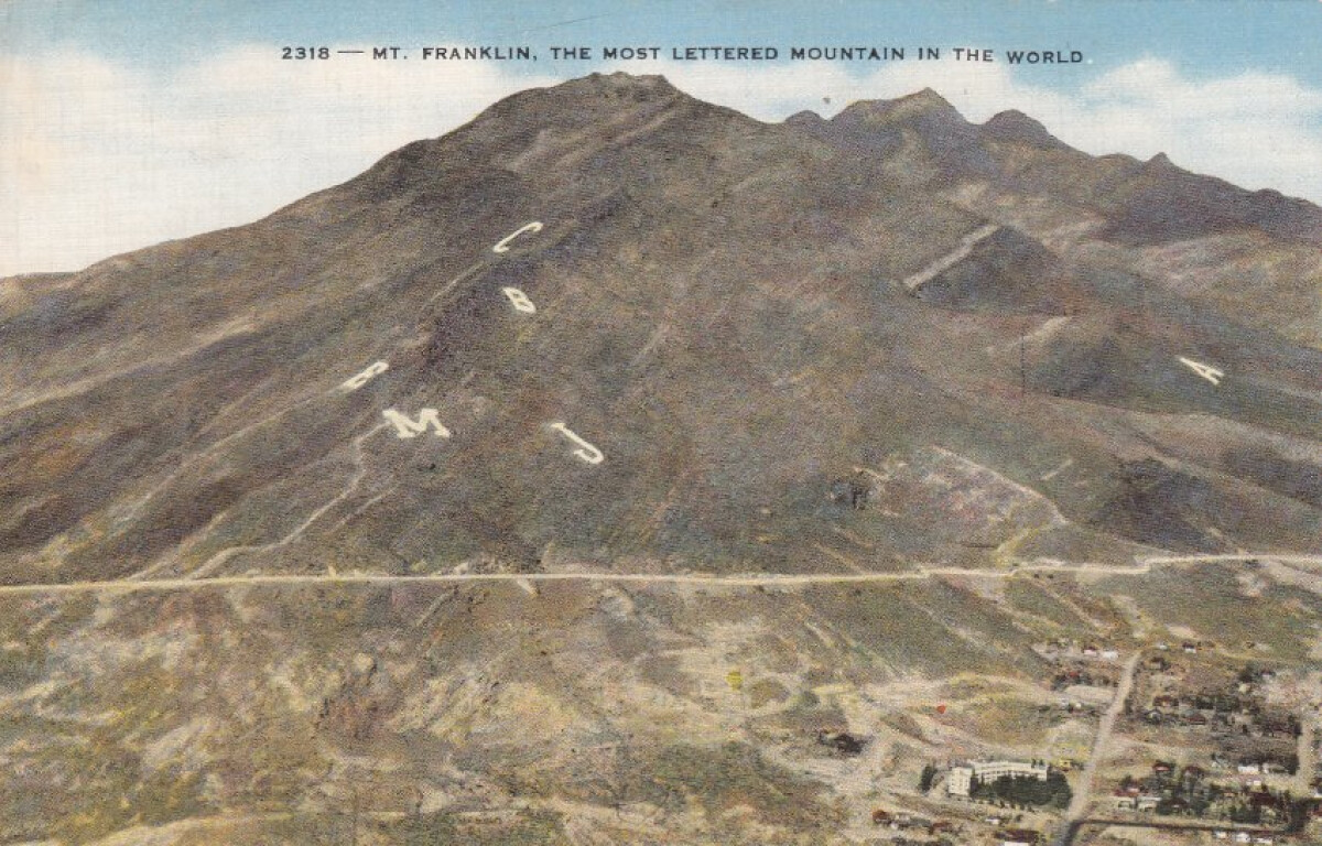
Post Card Franklin Mountains
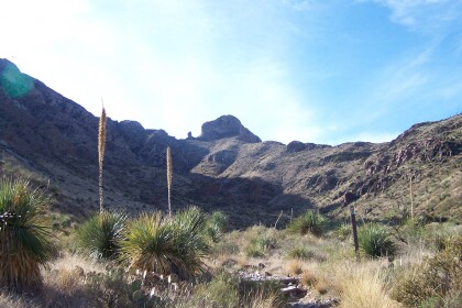
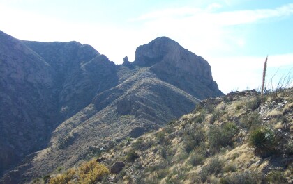
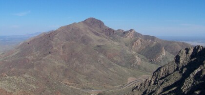
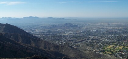
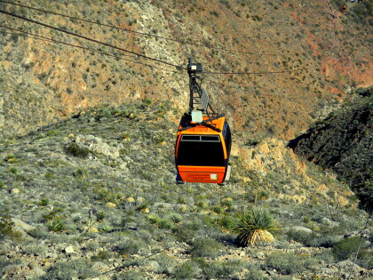
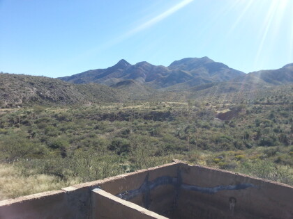
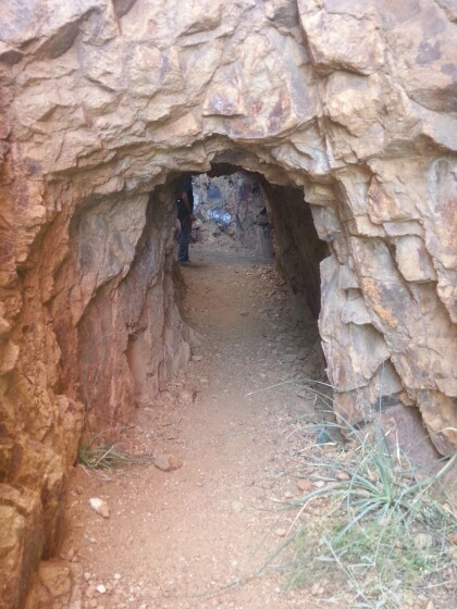
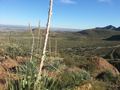
The Franklin Mountains extend from just north of downtown El Paso in El Paso County into southern Doña Ana County, New Mexico; their center is at 32°01' north latitude, 106°32' west longitude. They are roughly three miles wide by twenty-three miles long and rise to an elevation of 7,192 feet above sea level at North Franklin Mountain. The mountains divide the city of El Paso and have influenced its shape and growth. This range comprises the bulk of the second largest state park in Texas and what is said to be the largest urban park in the nation, Franklin Mountains State Park. http://www.tshaonline.org/handbook/online/articles/rjf14
Reportar esta entrada
Más sobre la misma comunidad-colección
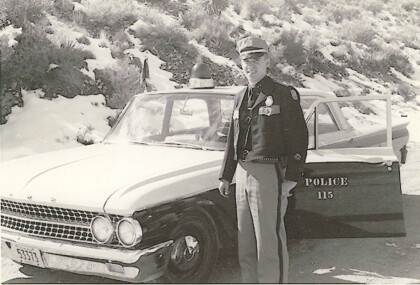
El Paso Police Officer Ed Agan - 1962
Each marked patrol or traffic unit carried a black, clip-on flag ...
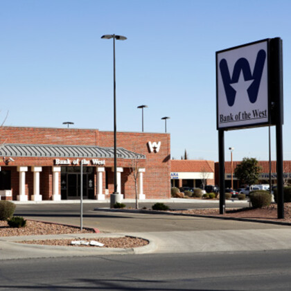
Bank of the West Opens Branch in Northeast El Paso
2007: Bank of the West expands into Northeast El Paso with its ...
Vista de la zona oeste de El Paso desde la Roca del Mamut
View of the Westside and Upper Valley, and Mount Cristo Rey from ...
Yendo de excursión a las minas de estaño
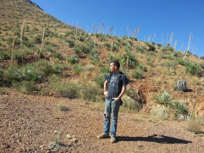
Selso Martinez hiking with me to the Tin Mines in the Franklin ...
La vista desde abajo de las antiguas minas de estaño en las montañas Franklin
Jut before getting up to the tin mines we took a detour to ...
Foto panoramica desde el Wyler Aerial Tramway
We saw three states (Texas, New Mexico, and Chihuahua) and two ...
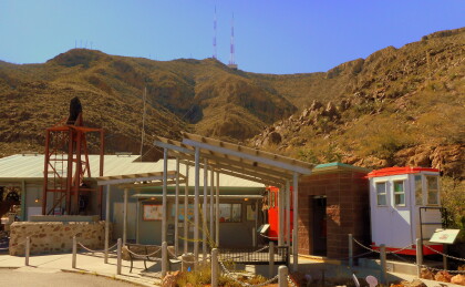
Vista desde el estacionamiento en el fondo del Tramway.
This was before we bought our tickets to go to the top.
