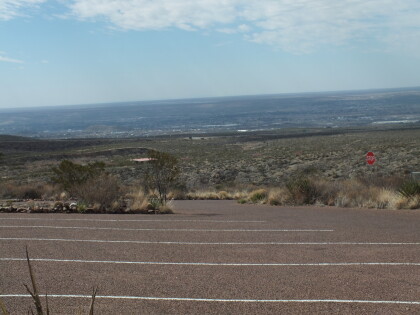
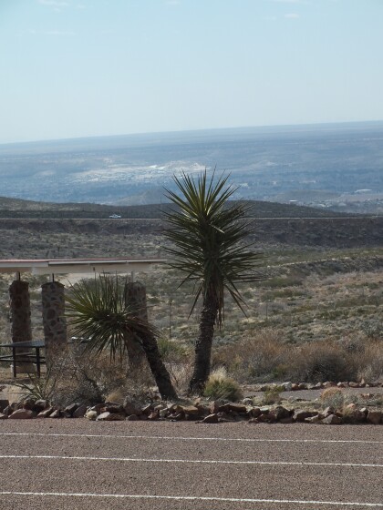
Post Card Franklin Mountains
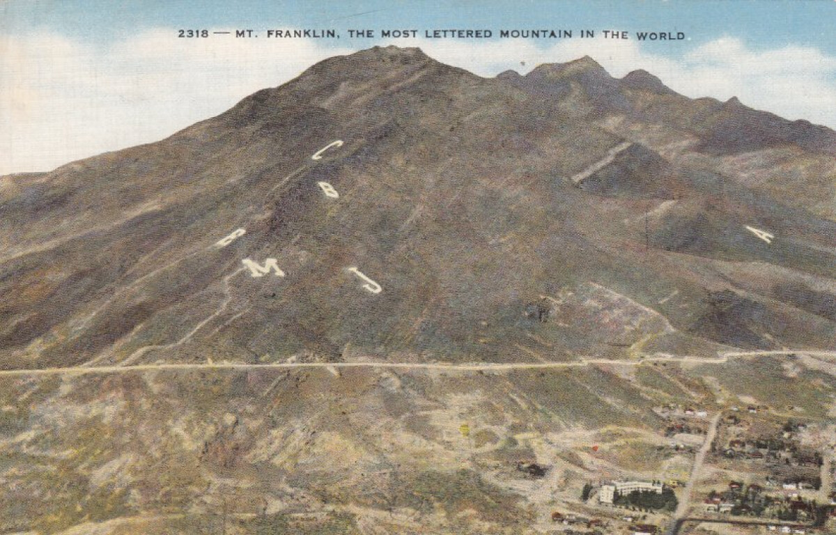
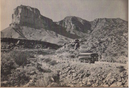
Post Card Franklin Mountains
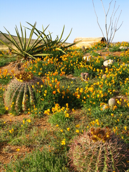
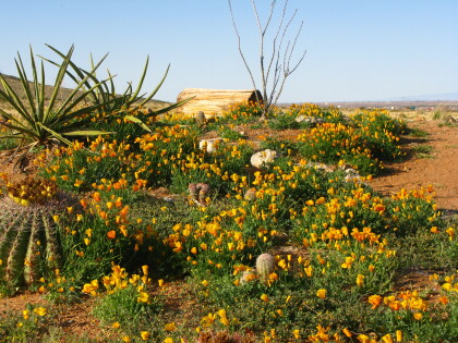
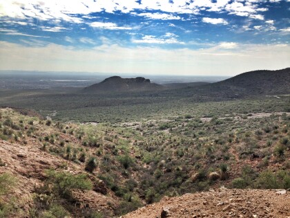
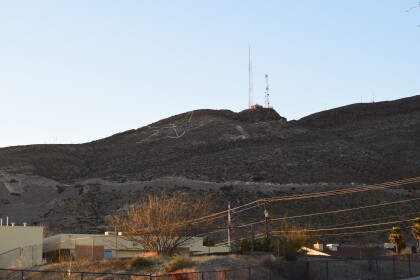
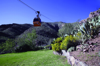
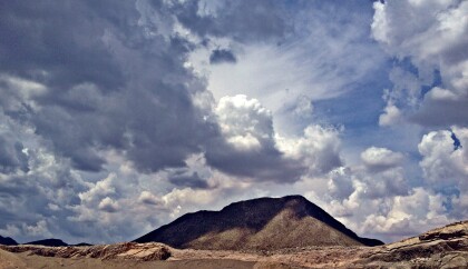
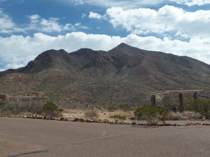
The Franklin Mountains extend from just north of downtown El Paso in El Paso County into southern Doña Ana County, New Mexico; their center is at 32°01' north latitude, 106°32' west longitude. They are roughly three miles wide by twenty-three miles long and rise to an elevation of 7,192 feet above sea level at North Franklin Mountain. The mountains divide the city of El Paso and have influenced its shape and growth. This range comprises the bulk of the second largest state park in Texas and what is said to be the largest urban park in the nation, Franklin Mountains State Park. http://www.tshaonline.org/handbook/online/articles/rjf14
Reportar esta entrada
Más sobre la misma comunidad-colección
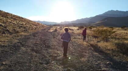
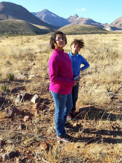
Hiking in the Northeast: break - El Paso, Texas
Hiking in December in the Northeast. Taken in 2014. Location ...
Sugar Loaf Mountain - El Paso, Texas
Sugar Loaf Mountain in northeast El Paso off Alabama St., near ...
Nuestro cactus nativo "Claret Cup" con flores
A Claret Cup cactus clump in our back yard - El Paso, Texas.
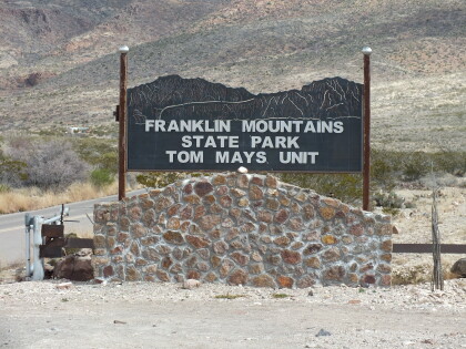
Franklin Mountains State Park Tom Mays Unit
The Tom Mays Unit on the Westside of the Franklin Mountains is ...
Franklin Mountains State Park Tom Mays Unit
The Tom Mays Unit on the Westside of the Franklin Mountains is ...
Franklin Mountains State Park Tom Mays Unit
The Tom Mays Unit on the Westside of the Franklin Mountains is ...
Franklin Mountains State Park Tom Mays Unit
The Tom Mays Unit on the Westside of the Franklin Mountains is ...
