Mount Cristo Rey
Mount Cristo Rey
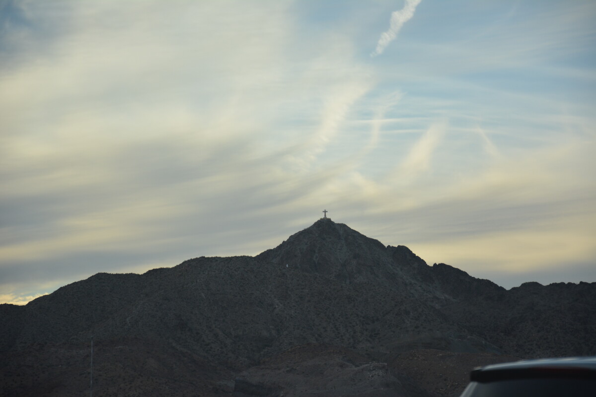
Mt Cristo Rey is a shrine to thousands of faithful in the El Paso and Southern New Mexico area. Dedicated in 1940, the cross of Christ on top of the mountain was the vision of Fr. Lourdes Costa, a local parish priest, who in 1933 after looking out the back window of his residence in the community of Smeltertown, envisioned erecting a monument at the summit of this glorious mountain. On August 31, 1937, Father Costa met with Bishop Schuler to suggest that his good friend, world famous sculptor Urbici Soler, be commissioned to construct the monument. While Costa devoted his time to financing the project, Soler was studying the site and making models of prospective ideas. A clay model made by Soler of his concept of the project was approved on December 7, 1937. Soler left for Austin on April 1, 1938 to select almost forty tons of the finest limestone from their famous quarries. He cut and shaped the large stones himself as he prepared them for shipping. He began the trip back to El Paso in September. Upon his return, work began in earnest. The base of the monument measures 14 feet wide and ten feet high. It was made to hold six inch by four inch memorial tile plaques made of Spanish Talavera with the names of contributors and sold for $25.00 each. The base was completed on May 15, 1939. The first stone of the limestone statue was placed on May 24, 1939 by Urbici Soler. From then on, until its completion, he was on the scaffold from 4:00 AM to sunset everyday. The statue was ready in time for pilgrimage on October 29, 1939.
Reportar esta entrada
Más sobre la misma comunidad-colección
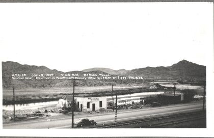
American Canal - Demolition of Wuerthman's houses
American Canal - Demolition of Wuerthman's houses; view west ...
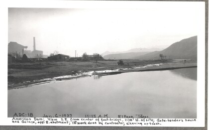
American Dam - first work done by contractor, cleaning up trash
American Dam - View southeast from center of foot-bridge; Gate ...
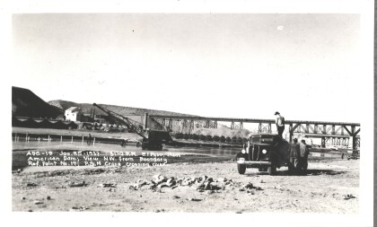
American Dam - Crane crossing river
American Dam - View northwest. Crane crossing river. Photo taken ...
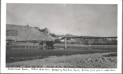
American Dam - Driving first pile in coffer-dam
American Dam - View northwest. Driving first pile in coffer-dam. ...
