Teepees at Indian Cliffs Ranch in Fabens, TX
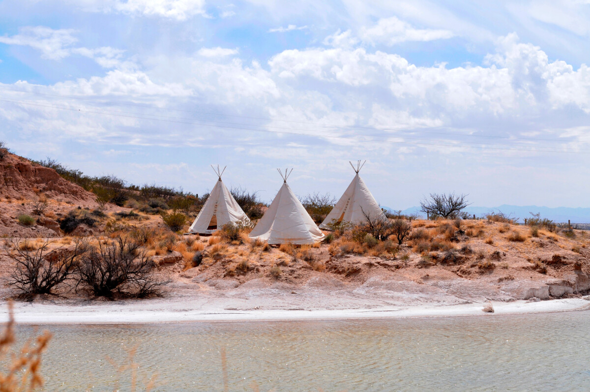
Teepees at Indian Cliffs Ranch in Fabens, TX
Teepees at Indian Cliffs Ranch in Fabens, TX - These tepees are located at Indian Cliffs Ranch which is home to Cattleman's Steakhouse just 5 miles north of Fabens, TX. For more information follow this link to the Indian Cliffs Ranch website: http://indiancliffsranch.com/history.htm "Well, here is the true story: Back in 1966, while still working in my father’s shipping business in Germany, I was put in charge of moving the German Air Force School and it’s soldiers to Fort Bliss. Business brought me to Fort Bliss and El Paso again in 1968. The unique flavor and the friendly people made such an impression on me, that I decided to make it my home. That same year, trying to help out a friend who badly needed a job, I bought a string of livery horses at Hueco Tanks, which he rented to the public. Hueco Tanks was then still owned by the county of El Paso and I remember that I paid 10% in rent to the Tigua Indians every month. In the fall of 1968, the county gave Hueco Tanks to the state of Texas and it became a state park. I needed a new home for the horses and that’s how I wound up here at the Indian Cliffs, which gave the ranch it’s name." - Dieter Gerzymisch, Owner
Reportar esta entrada
Más sobre la misma comunidad-colección
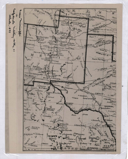
Nuevo México, Texas; Chihuahua, México 1861-1865
Map of the borders between New Mexico, Texas and Chihuahua, ...
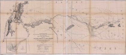
Mapa numero 1º desde Fort Smith hasta el Río Grande.
Map of the route near the 35th parallel. Part of the ...
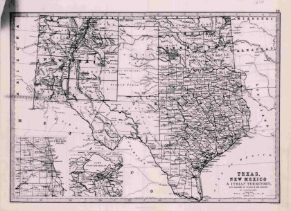
Texas, Nuevo México y Territorio Indio con alrededores de Chicago y Nueva Orleans
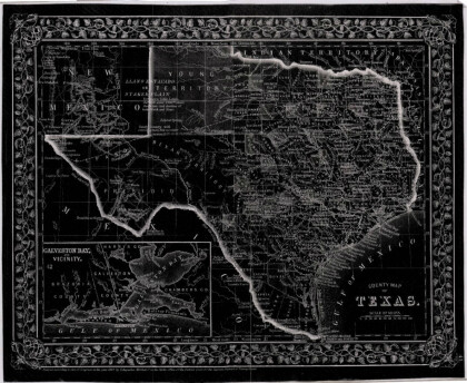
Map of Texas counties and New Mexico showing Indian Territories ...
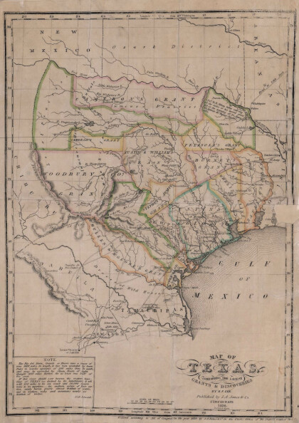
Texas: Conteniendo las concesiones y descubrimientos más recientes
Map of Texas containing the latest grants and discoveries in ...
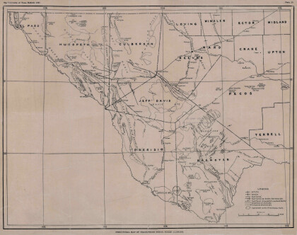
Mapa estructural de Pecos Texas
Map of the Trans-Pecos, Texas area; Outlines and lines are shown ...
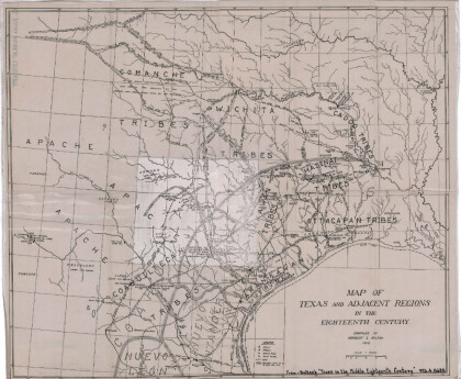
Mapa de Texas y regiones adyacentes en el siglo dieciocho
Map of Texas and the adjacent regions illustrating missions, ...
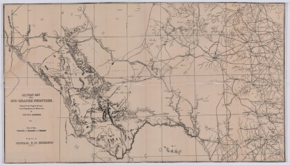
Mapa militar de la frontera del Río Grande
Military map of the Rio Grande frontier prepared from original ...
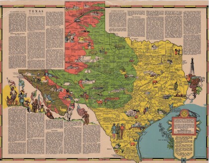
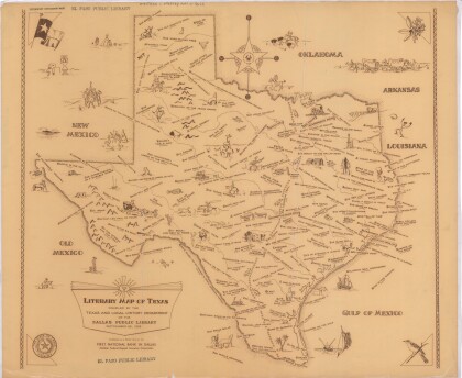
Texas el Estado de la Estrella Solitaria
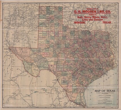
Picturesque historical map of Texas with information on ...
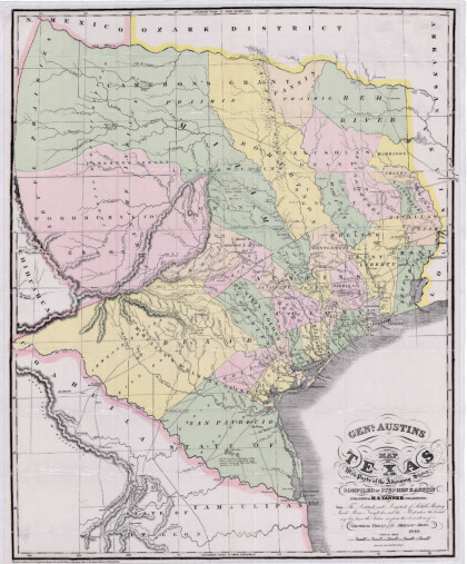
Mapa de Texas y partes de los estados colindantes por el General Austin
Colorful map of Texas highlighting the borders between states ...
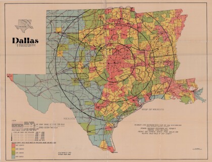
Dallas: Centro industrial y de distribución del suroeste
Colorful market and distribution map of the Southwest - Texas, ...
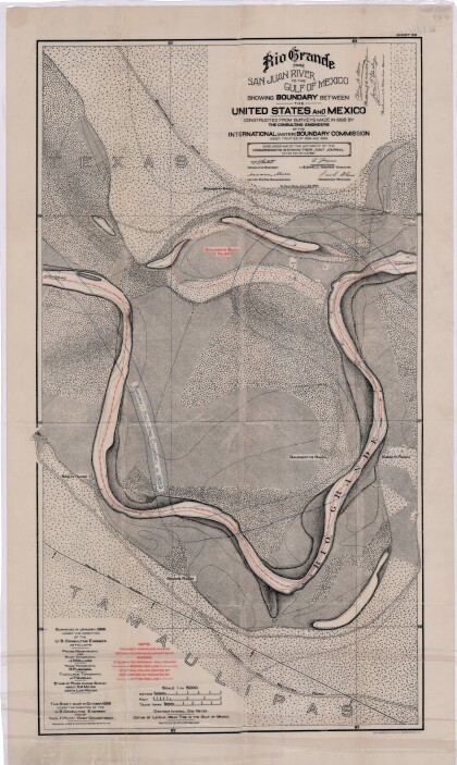
El Río Grande desde el Río San Juan hasta el Golfo de México
Map illustrates the Rio Grande from the San Juan River to the ...
Mapa de reconocimiento de Marfa, Texas
This topographic USGS map sheet indicates Marfa's surrounding ...
Topografía: la Universidad de Texas estudio de minerales
Topographic map of the Van Horn quadrangle in Texas. Indicates ...
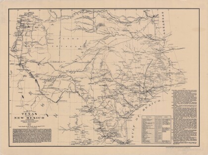
Mapa de Texas y parte de Nuevo México
Map of Texas and part of New Mexico compiled chiefly for ...
Estado de Texas por J. De Cordova
This geographical map of Texas was compiled from the records of ...
