U.S.-Mexico Border fence
EE.UU.-México cerca de la frontera
EE.UU.-México cerca de la frontera
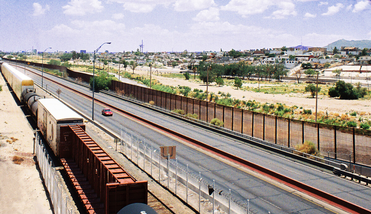
Border Fence C-I, 6-26-09 Not the smartest thing I ever did. I kept thinking, “Oh, the things I’ll do for a picture!” I started out just wanting a couple of pictures of the Rio Grande from Paisano near Executive before the construction of the Border Fence blocked the view (not knowing construction would soon halt). After taking a few pictures of the Rio Grande and the Asarco smokestack (see the “Around El Paso” folder), I began walking toward town along Paisano. As I wanted pictures of the fence, I had to walk on the opposite side of the street, and that proved to be extremely difficult. As can be seen in pictures “C” and “G,” that side of the street has a knee-high concrete barrier, then a narrow space filled with brush, trash, and assorted thorny plants, then a chain-link fence. There was no choice but to push my way sideways through all those obstacles for quite a long way. At times, overgrown thorn trees totally blocked this narrow passage and I had to climb over the concrete barrier, walk past the tree, then climb back over before getting smeared across the barrier by oncoming traffic. The concrete barrier was so hot to the touch that leaning on it caused blisters. Often the weeds and thorns were waist high and I had to just force my way through them. My jeans, socks, and shoes were soon full of thistles. There were bleeding scratches on my arms, rips in my shirt from the thorns and fence (which swayed and buckled as I tried to keep my balance, and sometimes was caved in completely). Just beyond the fence was a muddy, noxious stream beside railroad tracks and the possibility of falling in was not soothing to contemplate. (See “train along Paisano 6-26-09” in the “Trains” folder.) I continued to plow through the brambles, weeds, trash and trees until finally I came upon a break in the center barrier of Paisano where the Asarco trucks pull in and out. I crossed finally and had an open sidewalk at last but still a long, hot walk to go. Picture “I” is from the W. Yandell overpass to Sunset Heights. I started this trek around 11:20 a.m. At 1:20 p.m. I dragged myself into the Circle K in Sunset Heights, bought a pint of water, and gulped it all before the #10 bus came. The day reached 98 degrees. And construction of the fence stopped right where it was in picture “D” and is still there as I write this in 2012.
Reportar esta entrada
Más sobre la misma comunidad-colección
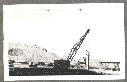
American Dam - P&H excavator driving pile
American Dam - View from middle of river, P&H excavator driving ...
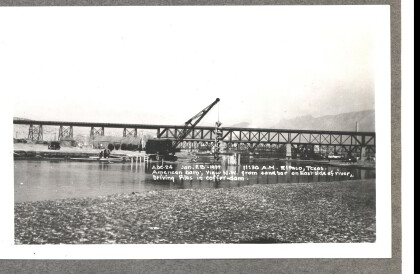
American Dam - Driving piles in coffer-dam
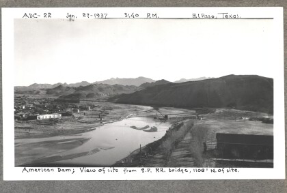
American Dam - View northwest from sandbar on eastside of river, ...
American Dam - P&H clam-shell excavator
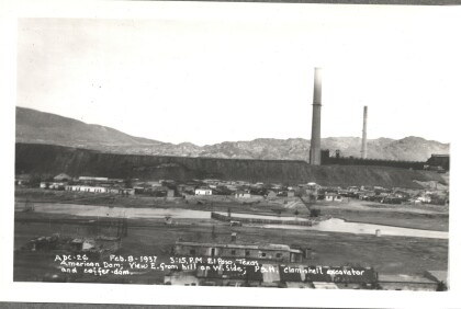
American Dam - View east from hill on west side; P&H clam-shell ...
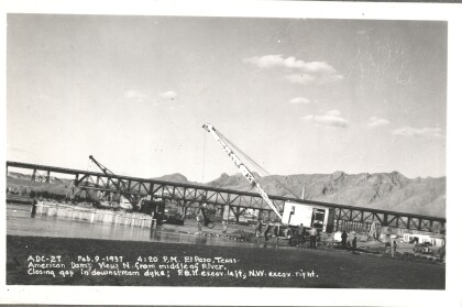
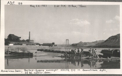
American Dam - Closing gap in downstream dyke
American Dam - View north from middle of river. Closing gap in ...
