Map of Southwestern United States Natural Gas Pipe Lines
Mapa de las líneas de gas natural del suroeste de los Estados Unidos
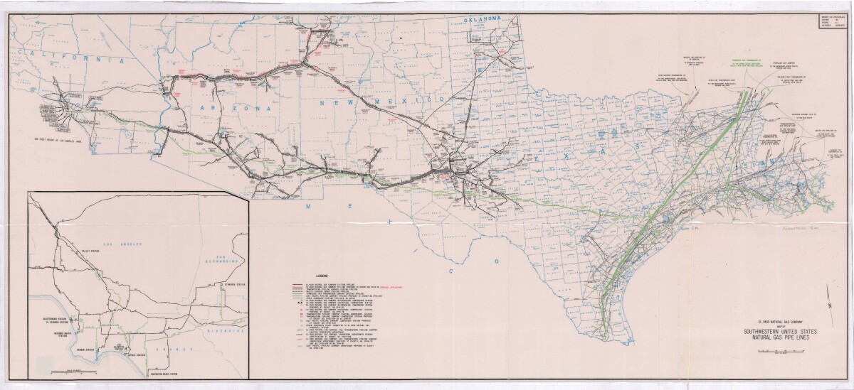
Mapa de las líneas de gas natural del suroeste de los Estados Unidos
Este mapa de 1963 ilustra las tuberías de gas natural que se extienden desde California, Arizona, Nuevo México, Texas y Louisiana.
Reportar esta entrada
Más sobre la misma comunidad-colección
Patriots From The Barrio - Dave Gutierrez
The true WWII story of the men who served in the U.S. Army's all ...
Chris Appelzoller and Alexander Appelzoller -With Mother - 2016
Veronica McGill, Chris Appelzoller and Alexander Appelzoller - ...
Chris Appelzoller and Alexander Appelzoller - 2016
Chris Appelzoller and Alexander Appelzoller - 2016 - White Sands ...
White Sands National Monument - 2016
White Sands National Monument - 2016 - White Sands National ...
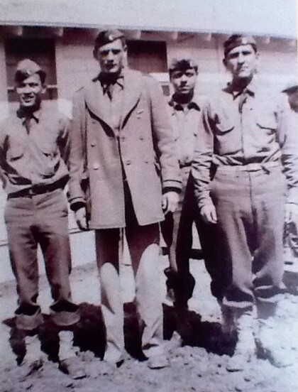
Two Unidentified Soldiers - Company E - 1941
Two unidentified soldiers from Company E during training. ...
SGT. Lorenzo M. Luna & Soldiers - 1941
Photograph taken at Camp Bowie - Brownwood, Texas. Company E, ...
Sgt. Lorenzo M. Luna & Sgt. H. Kahl - 1941
Men who trained soldiers for Company E. Sgt. Lorenzo M. Luna & ...
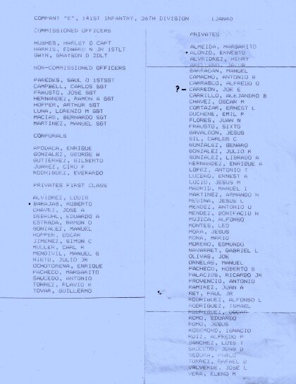
Company E - 1940 - 141st Infantry - 36th Division
Company E - 1940 - 141st Infantry - 36th Division January 1, ...
Capt. John L. Chapin - Company E - 1940
Capt. John L. Chapin - Company E - 1940 When most people in ...
Capt. John L. Chapin - Company E - 1940
Capt. John L. Chapin - Company E - 1940 - in this photograph ...
Herlinda Wong Chew and Children - 1930's
Herlinda Wong Chew and children - Herlinda Wong Chew is to the ...
Major Kirchgessner prepares 1-43 for the Transfer of Authority
Major John Kirchgessner and soldiers of 1-43 ADA (Ft. Bliss ...

