Map of Texas and the Countries Adjacent
Texas y los Países Adyacente
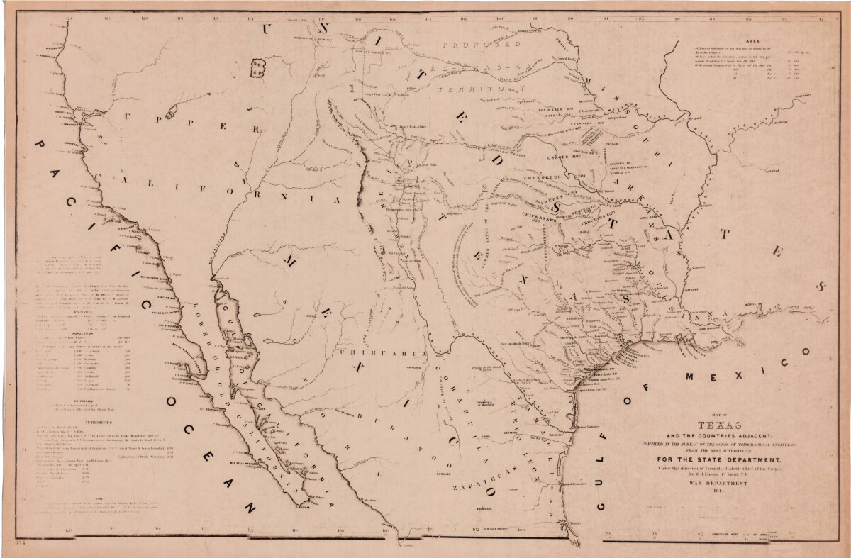
Texas y los Países Adyacente
Mapa de 1844 incluye estadísticas de población y área. Características topográficas mostradas son sierras, montañas, lagos, y ríos. Los territorios de las tribus indias, los senderos y las rutas militares y de descubrimiento están indicados.
Reportar esta entrada
Más sobre la misma comunidad-colección
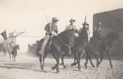
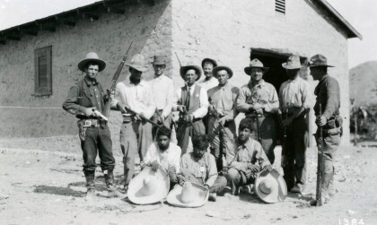
Soldados durante la revolución mexicana
Notation on front of image: "Villa" Visible: Four men riding ...
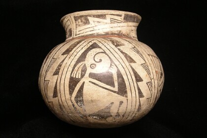
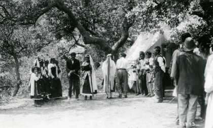
Cerámica de Casas Grande con el Museo de Arqueología de El Paso Logo
Casas Grandes was a prehistoric trading center/religious center ...
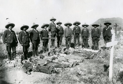
Federales Presentan Rebeldes Muertos
The picture was taken during the Mexican Revolution. It shows a ...
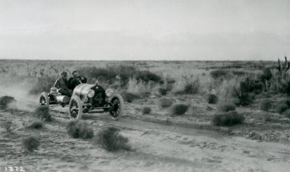
Johnny Hutchins en Carrera de Autos
The picture shows driver Johnny Hutchins during the annual El ...
El Paso County Historical Society
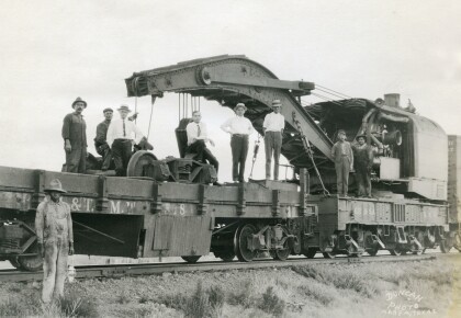
Unidentified men on top of the train, and in front is an African ...
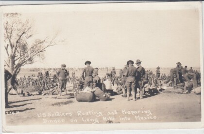
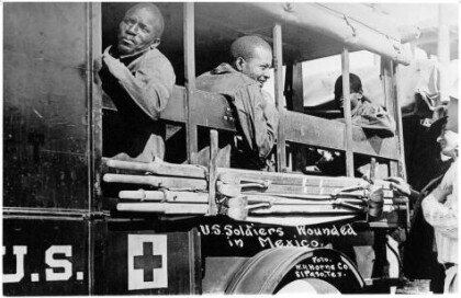
Wounded Soldiers - Buffalo Soldiers - 1916
In June, Pershing received intelligence that Villa was at ...
