Map of the Rio Grande El Paso-Juarez Valley circa 1930
Mapa del Río Grande, el Valle El Paso-Juarez

Mapa del Río Grande, el Valle El Paso-Juarez
Mapa de 1924-1930 ilustra el curso del rio, la ubicación de la presa internacional, y claramente identifica el Arroyo del Álamo, Arroyo Diablo y Fort Quitman.
Reportar esta entrada
Más sobre la misma comunidad-colección
From Mexico to the United States
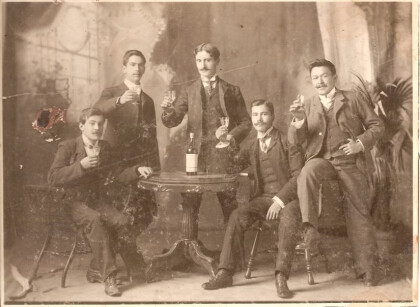
1915: Grandfather Trinidad Holguin is standing in middle of his ...
Gender Equity Specialists in TX circa 1992
Eva Ross with gender equity specialists in Austin TX circa 1992
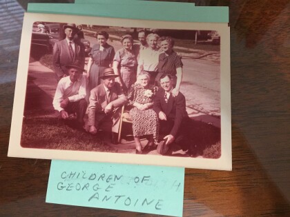
Children of George Antoine, taken in Clarksville, TX
Children of George Antoine, taken in Clarksville, TX
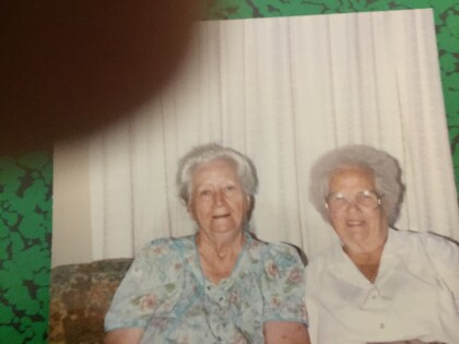
Bea ANTOINE, Bernadine Arnold Antone, Waco, TX, 1990
Bernadine Antone visited her husband's relative in Waco, TX, ...
Young couple @ Ardovino's Desert Crossing, Fall 2022
MJR and girlfriend after burial of Stephen J. Ross
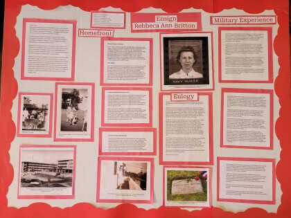
La Vida del a Héroa Silenciosa - Ensign Rebecca Ann Britton
A Texas student and her teacher have been selected to ...
