Map of the Rio Grande El Paso-Juarez Valley circa 1930
Mapa del Río Grande, el Valle El Paso-Juarez

Mapa del Río Grande, el Valle El Paso-Juarez
Mapa de 1924-1930 ilustra el curso del rio, la ubicación de la presa internacional, y claramente identifica el Arroyo del Álamo, Arroyo Diablo y Fort Quitman.
Reportar esta entrada
Más sobre la misma comunidad-colección
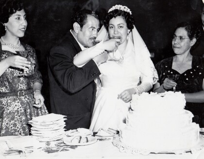
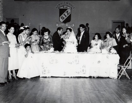
Herminia and Ray Duran's Wedding Toast
Herminia and Ray Duran toast as newlyweds next to Herminia's ...
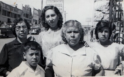
Cardiel Family Downtown Juarez, Mexico - 1950's
Cardiel Family including Guadalupe Cardiel, Carmen Cardie ...
Herminia and Ray Duran's Wedding Toast
Herminia and Ray Duran toast at their wedding surrounded by ...
Nona and Dale Resler's First Home
The house formally known to Dale as "The Bachelor's Den" became ...
