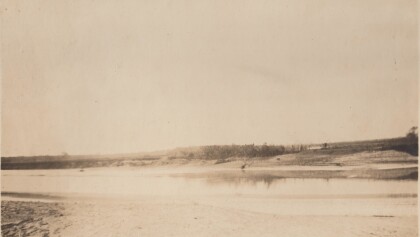
Map of the Rio Grande El Paso-Juarez Valley circa 1930
Mapa del Río Grande, el Valle El Paso-Juarez

Mapa del Río Grande, el Valle El Paso-Juarez
Mapa de 1924-1930 ilustra el curso del rio, la ubicación de la presa internacional, y claramente identifica el Arroyo del Álamo, Arroyo Diablo y Fort Quitman.
Reportar esta entrada
Más sobre la misma comunidad-colección
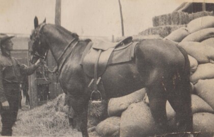
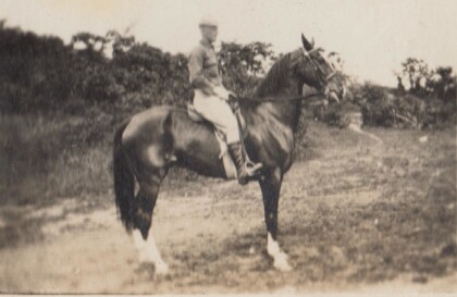
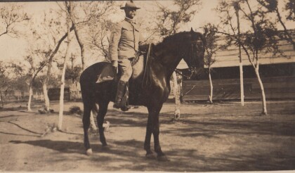
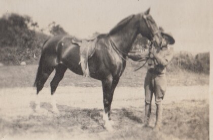
H. E. Featherstone on Horseback circa 1915
This is H.E. Featherstone, possibly on Sandy, the horse he rode ...
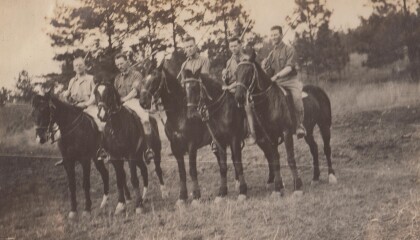
Sgt. Carr And His Platoon - 1910 - 1919
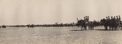
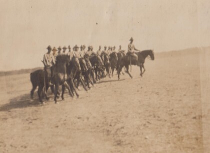
This is the Virginia Cavalry, at drill. The closest horses are ...
H.E. Featherstone at Gordonsville, Virginia
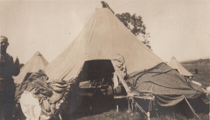
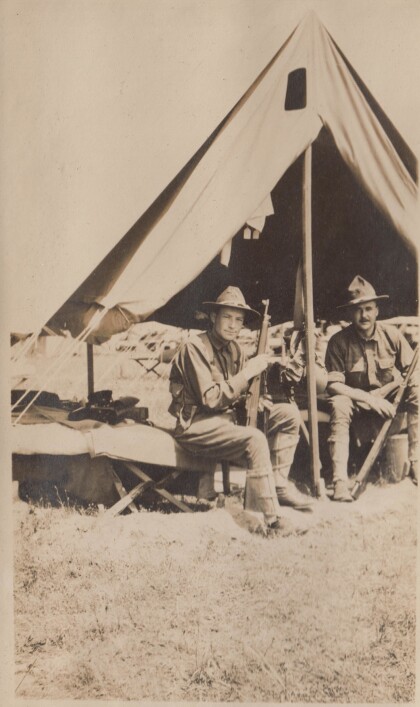
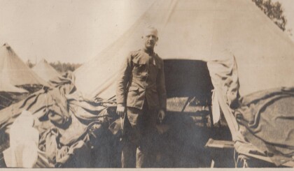
Featherstone in front of his tent at the camp in Gordonsville.
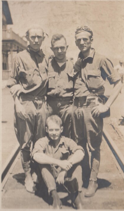
Blakeley, Bourne, Watkins, and Jones
These soldiers are probably part of the Richmond Light Infantry, ...
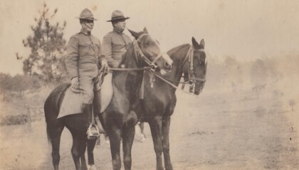
Captains Hewitt and Puller, Virginia Cavalry
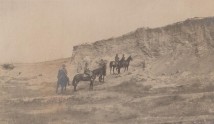
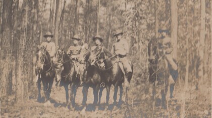
Two officers from the Virginia Cavalry serving on the border.
