Topography, Texas El Paso County, Cerro Alto Quadrangle
Topografía de Texas, el condado de El Paso, cuadrángulo Cerro Alto
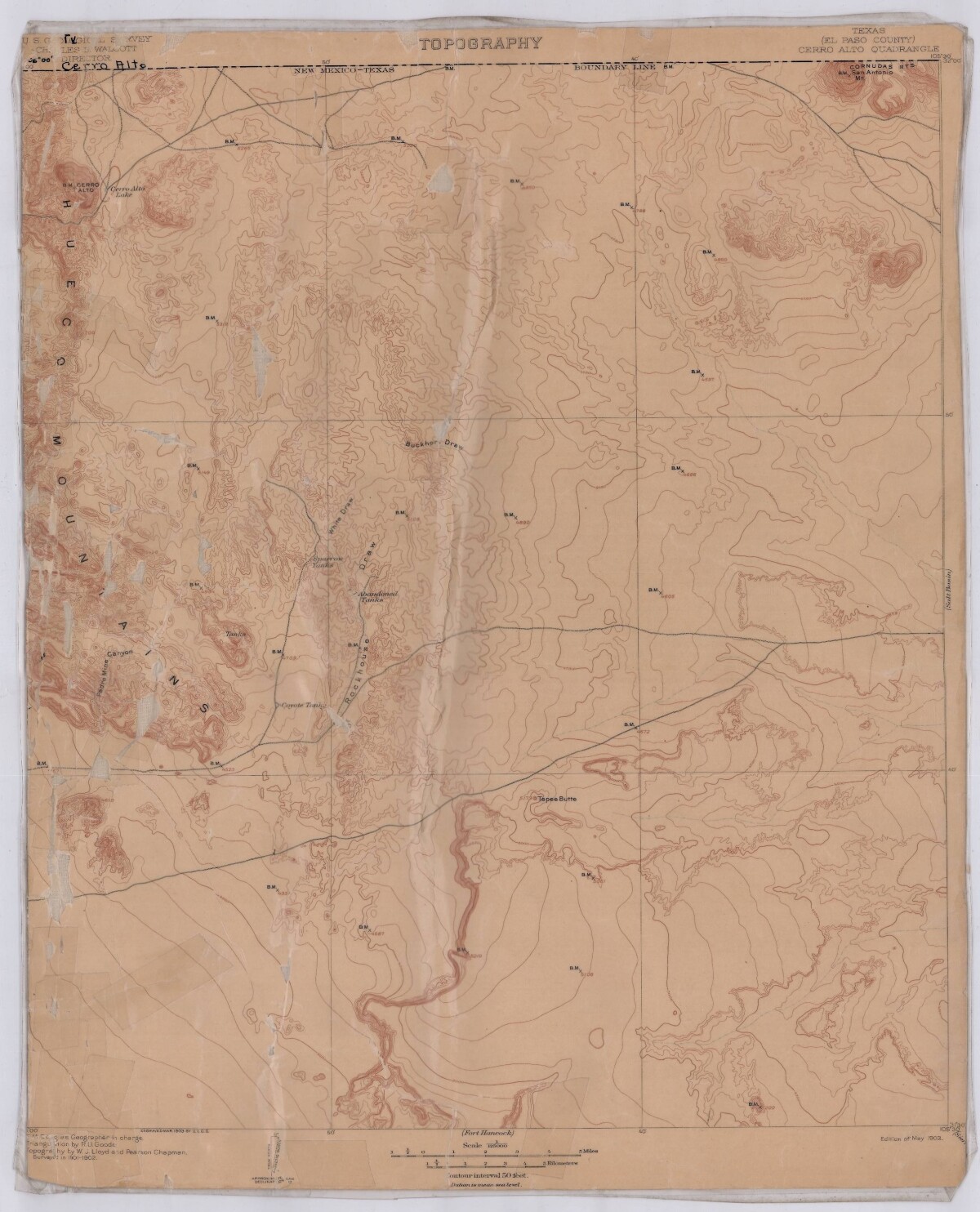
Topografía de Texas, el condado de El Paso, cuadrángulo Cerro Alto
Este mapa de 1903 incluye la línea fronteriza de Nuevo México-Texas, las montañas Hueco, las montañas Cornudas; el cañón Padre Mío, y otros puntos de referencia.
Reportar esta entrada
Más sobre la misma comunidad-colección
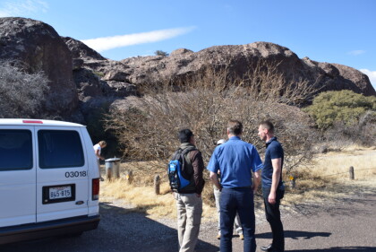
Arriving at Hueco Tanks State Park
Delegation from Copenhagen, Denmark and Dine/Mexican Storyteller ...
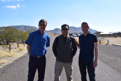
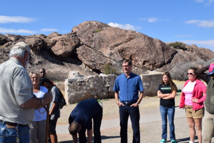
Tour Briefing at Hueco Tanks State Park
Delegation from Copenhagen, Denmark, Dine/Mexican Storyteller ...
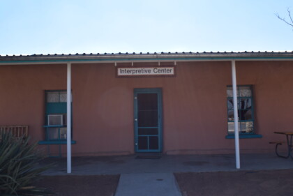
Interpretive Center at Hueco Tanks State Park
The delegation from Copenhagen, Denmark, Dine/Mexican ...
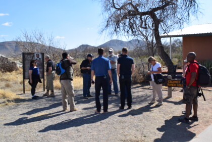
Tour Briefing at Hueco Tanks State Park
Delegation from Copenhagen, Denmark, El Paso Museum of History ...
