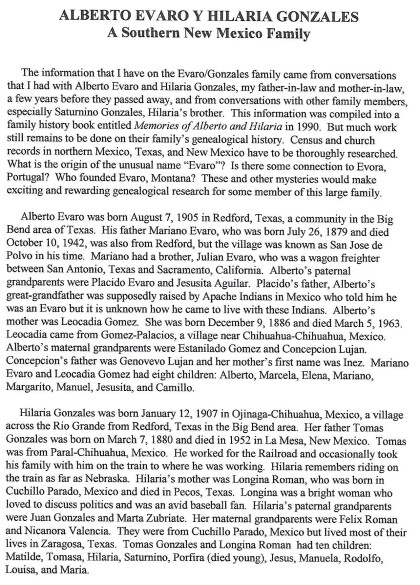
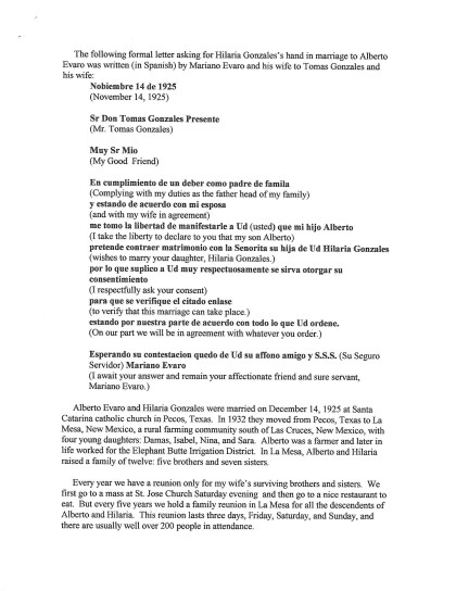
General Austin's Map of Texas with Parts of the Adjoining States
Mapa de Texas y partes de los estados colindantes por el General Austin
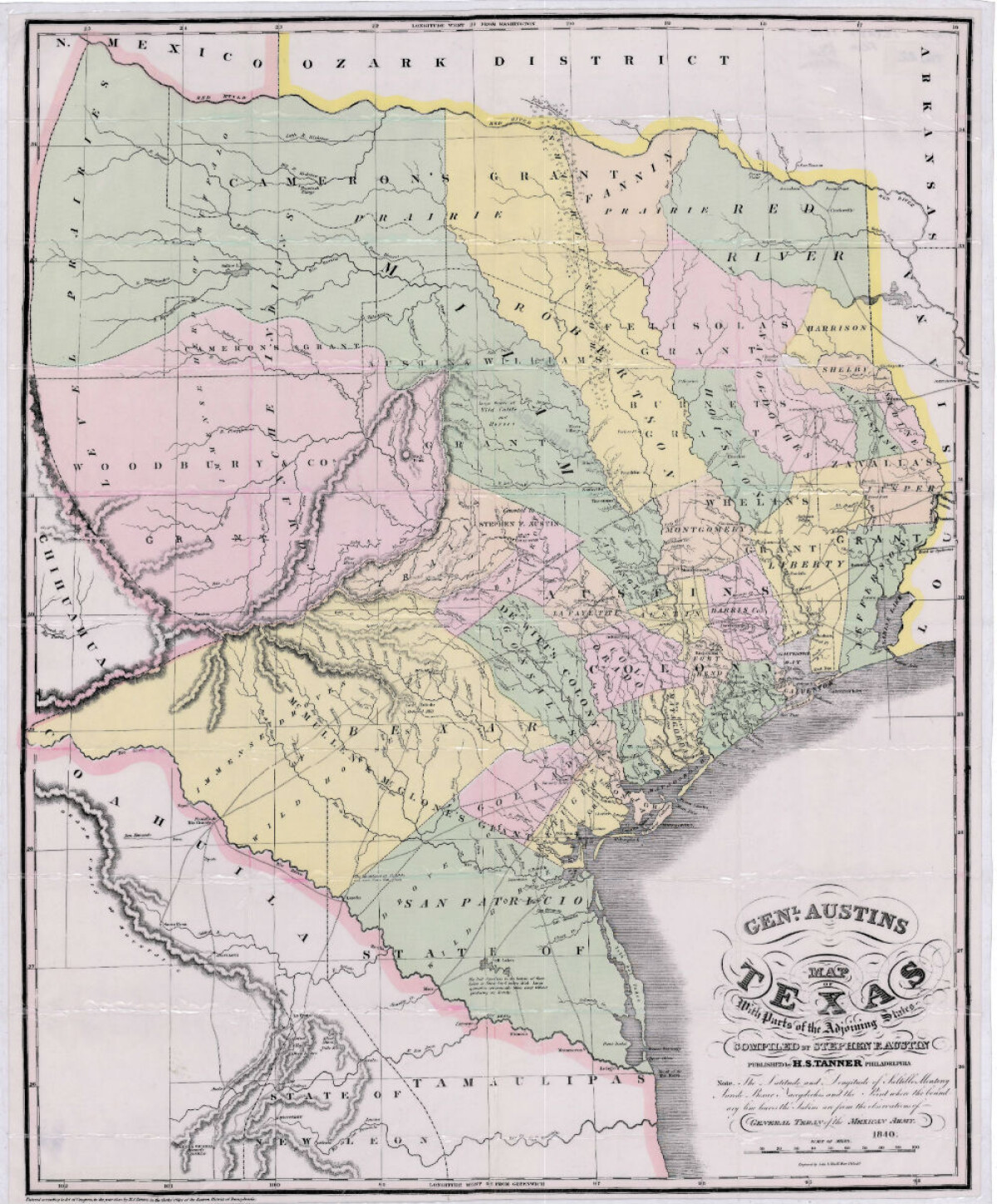
Mapa de Texas y partes de los estados colindantes por el General Austin
Vívida representación de Texas (1840). Se muestran concesiones de tierra, topografía, y concentraciones de vida silvestre.
Reportar esta entrada
Más sobre la misma comunidad-colección
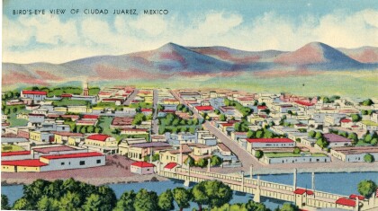
Juarez bird's-eye view postcard
This postcard from the 1940s is a scene of Juarez, Mexico. The ...
Katherine A. Mullings - University of Texas
Katherine A. Mullings - University of Texas - Graduation - May ...
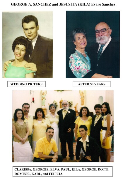
George A Sanchez and Jesusita (kila) Evaro Sanchez
Wedding photograph and 50th anniversary photograph of George A. ...
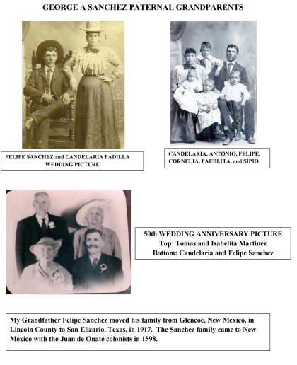
George A. Sanchez Paternal Grandparents
George A. Sanchez grandfather, Felipe Sanchez, moved his family ...
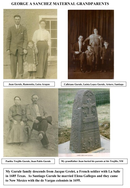
George A. Sanchez Maternal Grandparents
The Gurule family descends from Jacque Grolet, a french soldier ...
