Map of Texas and Adjacent Regions in the Eighteenth Century
Mapa de Texas y regiones adyacentes en el siglo dieciocho
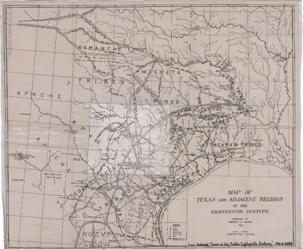
Mapa de Texas y regiones adyacentes en el siglo dieciocho
Mapa cubriendo 1700-1800 ilustra misiones, presidios, aldeas indias, ríos y caminos.
Reportar esta entrada
Más sobre la misma comunidad-colección
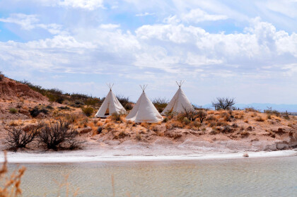
Teepees at Indian Cliffs Ranch in Fabens, TX
Teepees at Indian Cliffs Ranch in Fabens, TX - These tepees are ...
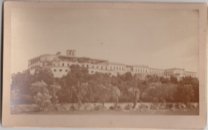
Castillo de Chapultepec, Mexico
Chapultepec Castle (Spanish: Castillo de Chapultepec) is located ...
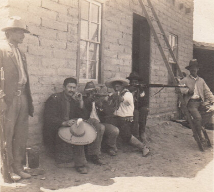
Cuartel General de F. I. Madero (Casa Adobe)
The notation on the back of the image says: " Across the Rio ...
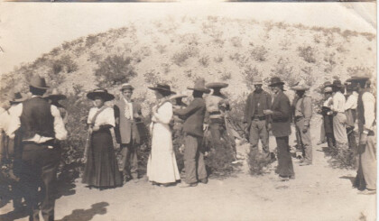
Turistas Durante Revolución Mexicana
Two women and a man (center left) are preparing to pose for ...
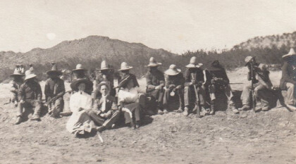
Los turistas durante Revolución Mexicana
A group of people is sitting in the dessert. The two women and ...
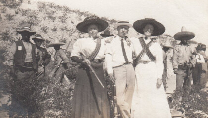
Turistas durante Revolución Mexicana, parte 4
Two women and one man are posing with some rebels for a ...

