Map of Texas and Adjacent Regions in the Eighteenth Century
Mapa de Texas y regiones adyacentes en el siglo dieciocho
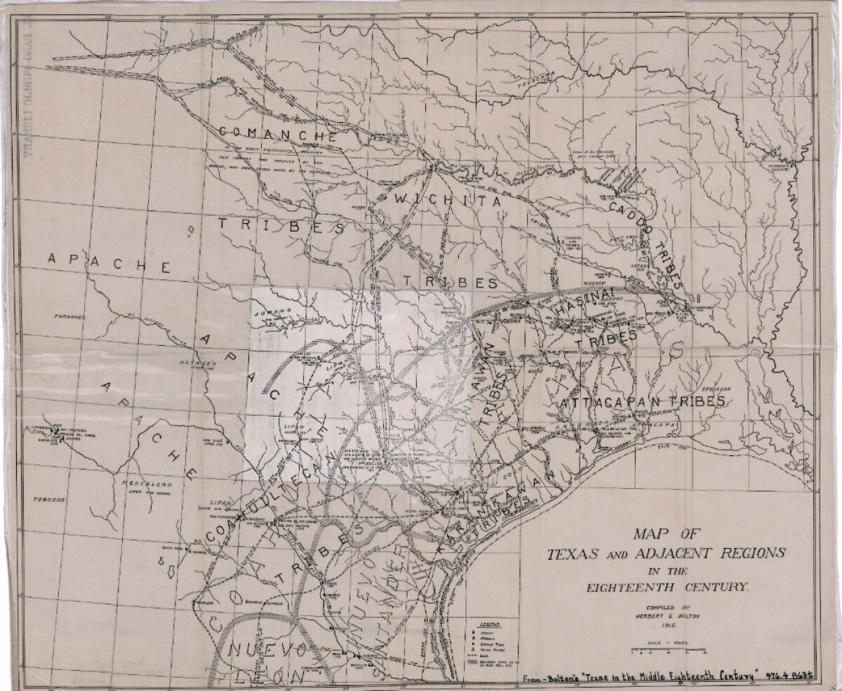
Mapa de Texas y regiones adyacentes en el siglo dieciocho
Mapa cubriendo 1700-1800 ilustra misiones, presidios, aldeas indias, ríos y caminos.
Reportar esta entrada
Más sobre la misma comunidad-colección
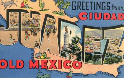
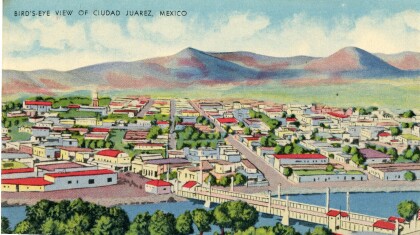
Juarez bird's-eye view postcard
This postcard from the 1940s is a scene of Juarez, Mexico. The ...
Katherine A. Mullings - University of Texas
Katherine A. Mullings - University of Texas - Graduation - May ...
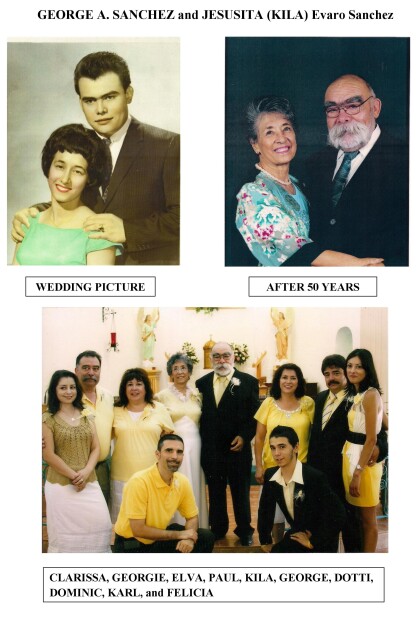
George A Sanchez and Jesusita (kila) Evaro Sanchez
Wedding photograph and 50th anniversary photograph of George A. ...
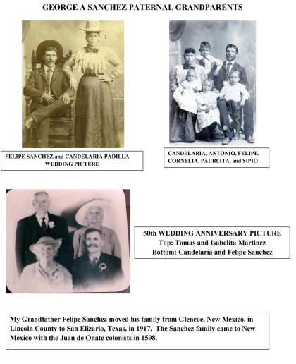
George A. Sanchez Paternal Grandparents
George A. Sanchez grandfather, Felipe Sanchez, moved his family ...
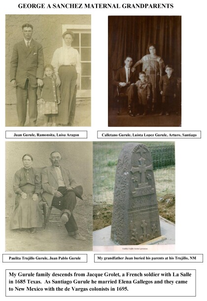
George A. Sanchez Maternal Grandparents
The Gurule family descends from Jacque Grolet, a french soldier ...
