Map of Texas and Adjacent Regions in the Eighteenth Century
Mapa de Texas y regiones adyacentes en el siglo dieciocho
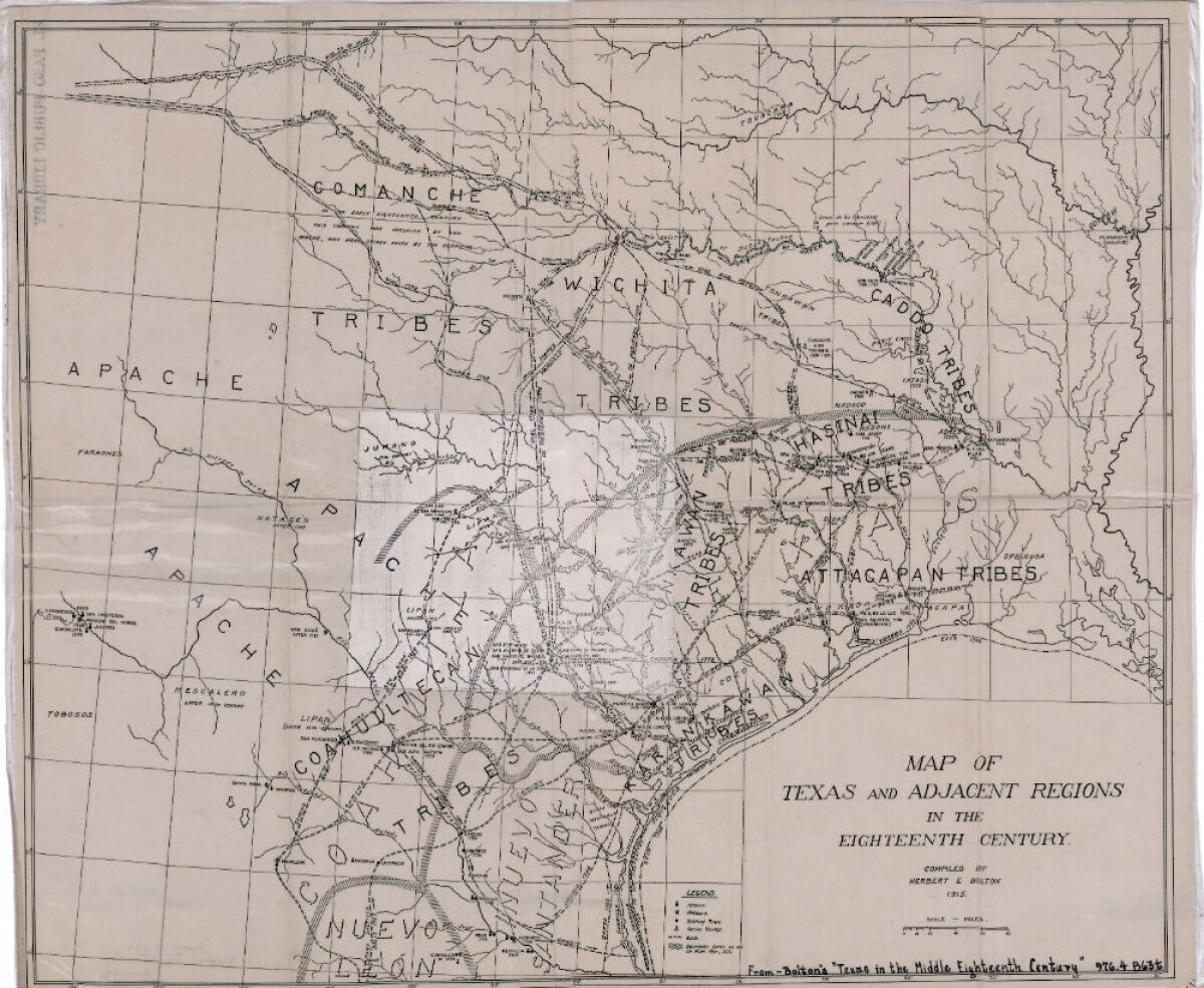
Mapa de Texas y regiones adyacentes en el siglo dieciocho
Mapa cubriendo 1700-1800 ilustra misiones, presidios, aldeas indias, ríos y caminos.
Reportar esta entrada
Más sobre la misma comunidad-colección
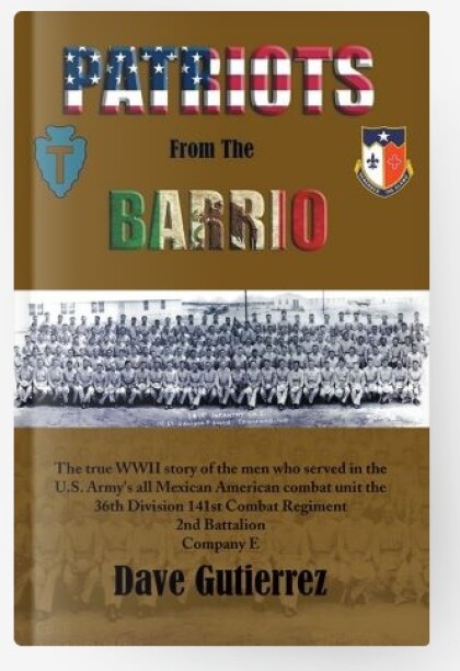
Patriots From The Barrio - Dave Gutierrez
The true WWII story of the men who served in the U.S. Army's all ...
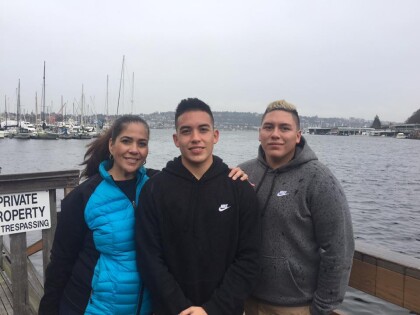
Chris Appelzoller and Alexander Appelzoller -With Mother - 2016
Veronica McGill, Chris Appelzoller and Alexander Appelzoller - ...
Chris Appelzoller and Alexander Appelzoller - 2016
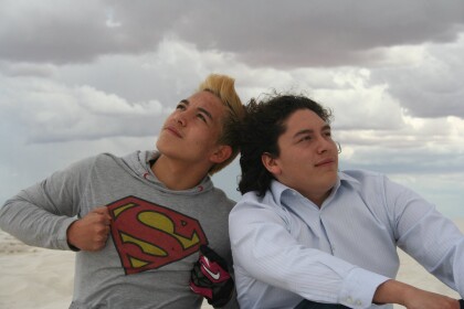
Chris Appelzoller and Alexander Appelzoller - 2016 - White Sands ...
White Sands National Monument - 2016
White Sands National Monument - 2016 - White Sands National ...
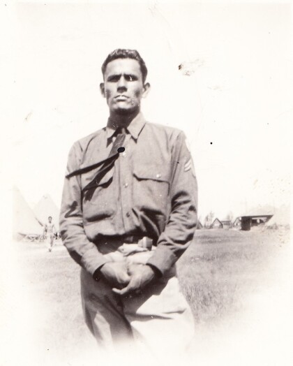
Two Unidentified Soldiers - Company E - 1941
Two unidentified soldiers from Company E during training. ...
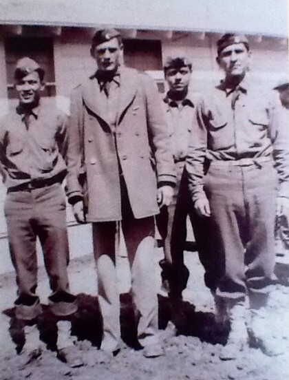
SGT. Lorenzo M. Luna & Soldiers - 1941
Photograph taken at Camp Bowie - Brownwood, Texas. Company E, ...
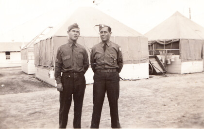
Sgt. Lorenzo M. Luna & Sgt. H. Kahl - 1941
Men who trained soldiers for Company E. Sgt. Lorenzo M. Luna & ...
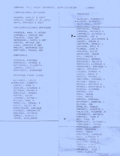
Company E - 1940 - 141st Infantry - 36th Division
Company E - 1940 - 141st Infantry - 36th Division January 1, ...
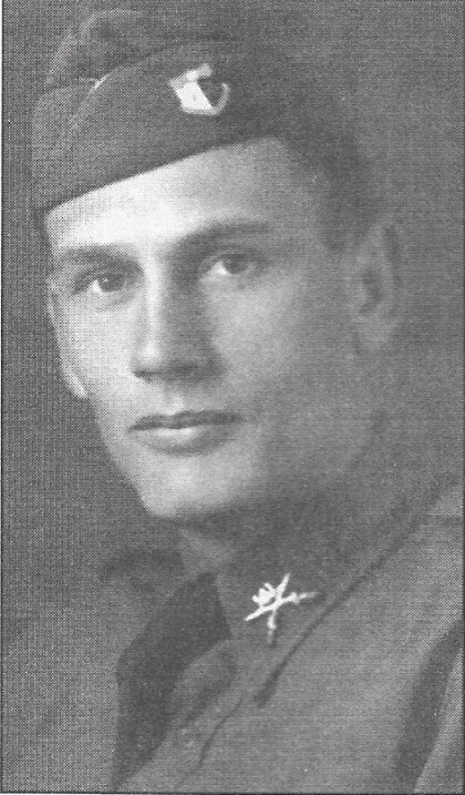
Capt. John L. Chapin - Company E - 1940
Capt. John L. Chapin - Company E - 1940 When most people in ...
Capt. John L. Chapin - Company E - 1940
Capt. John L. Chapin - Company E - 1940 - in this photograph ...
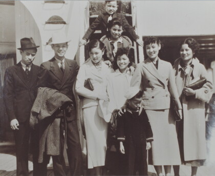
Herlinda Wong Chew and Children - 1930's
Herlinda Wong Chew and children - Herlinda Wong Chew is to the ...
Major Kirchgessner prepares 1-43 for the Transfer of Authority
Major John Kirchgessner and soldiers of 1-43 ADA (Ft. Bliss ...
