Map of Texas and Adjacent Regions in the Eighteenth Century
Mapa de Texas y regiones adyacentes en el siglo dieciocho
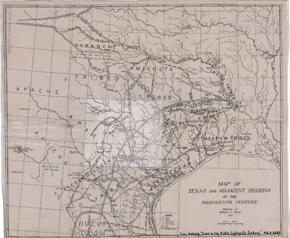
Mapa de Texas y regiones adyacentes en el siglo dieciocho
Mapa cubriendo 1700-1800 ilustra misiones, presidios, aldeas indias, ríos y caminos.
Reportar esta entrada
Más sobre la misma comunidad-colección
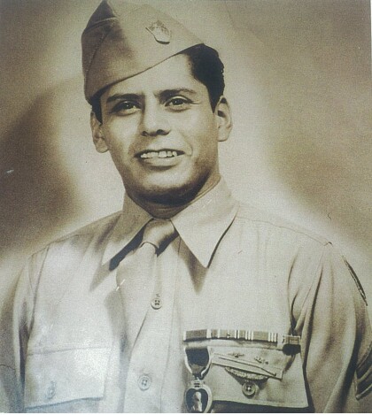
Alfredo Lozano - Company E, 1940 - 1949
Photograph of Alfredo Lozano after receiving the purple heart. ...
Colonel Armando Ruiz - 1940 - 1949
Colonel Armando "Tommy" Ruiz, is a Graduate of Bowie high school ...
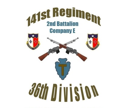
Emblem - 141st Regiment-2nd Battalion - Company E - 1941
Emblem - 141st Regiment-2nd Battalion - Company E - 36th ...
Lorenzo Macias - Company E - 1941
Lorenzo Macias member of Company E was killed in action December ...
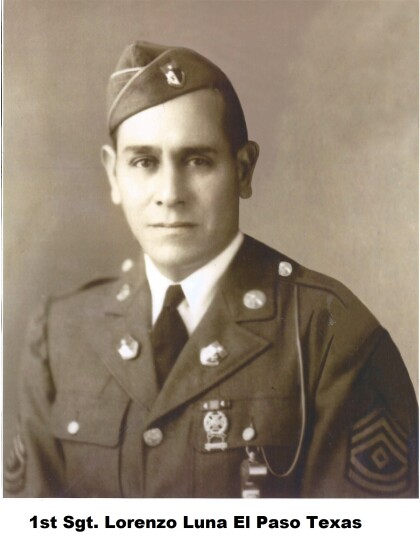
Lorenzo Luna - Company E - 1941
Lorenzo Luna was a member of Company E. Hispanics of the 141st ...
Rafael Torres - Company E - 1942
Rafael Torres - Company E - 1942 - member of the famous Company ...
Ramon G. Gutierrez - Company E - 1942
Ramon G. Gutierrez was a member of Company E during World War ...
Marcelino Valadez - Company E - 1942
Marcelino Valadez - Company E - 1942 - member of Company E. An ...
Ricardo Palacios Jr. - 1941 - Company E
Ricardo Palacios Jr. at Camp Bowie - Brownwood, Texas. Ricardo ...
