Map of Texas and Adjacent Regions in the Eighteenth Century
Mapa de Texas y regiones adyacentes en el siglo dieciocho
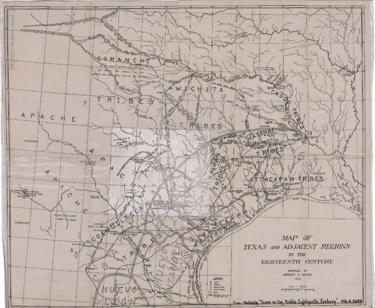
Mapa de Texas y regiones adyacentes en el siglo dieciocho
Mapa cubriendo 1700-1800 ilustra misiones, presidios, aldeas indias, ríos y caminos.
Reportar esta entrada
Más sobre la misma comunidad-colección
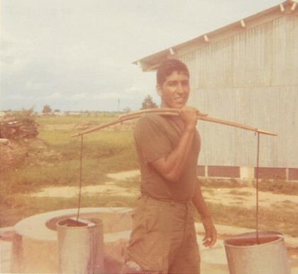
Albert A. Hernandez - Veterano de Vietnam - 2016
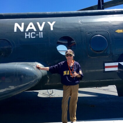
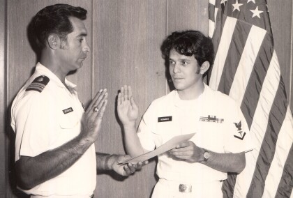
Albert A. Hernandez on the USS Midway in San Diego, California - ...
HM2 Hernandez, Albert A. - Vietnam - 1965
I graduated from Jefferson High School in May of 1965. Shortly ...
HM2 Hernandez, Albert A. - veterano de Vietnam - 1967
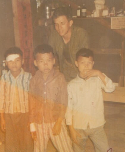
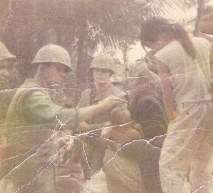
1967 - Three Vietnamese boys needing medical care in Phu Bai - ...
HM2 Hernandez, Albert A. - veterano de Vietnam - 1966
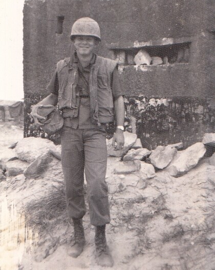
Near a french bunker - near a combat base - Phu Bai.
Fred R. Madrid Jr. (Freddy) in Vietnam - 1960 - 1969
This photo was taken in Vietnam during the Vietnam war. ...
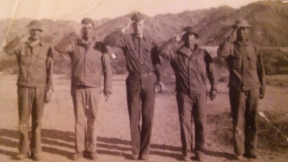
Pablo González - Segunda Guerra Mundial - 1940 - 1949
Pablo Gonzalez during World War II -left to right - Pablo is ...
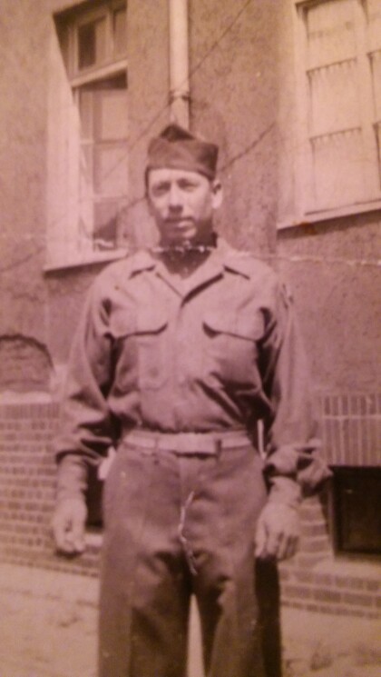
Pablo González - Segunda Guerra Mundial - 1940 - 1949
Pablo Gonzalez Grandpa of Melissa Segura who was in the army ...
Victoria Sinclair - Primera finalista - Señorita Nuevo México - 2017
Mission accomplished my dear friends! Living proof that if you ...
Primera comunión de Joe Gómez - 1950-1959
Joe Gomez First Communion - 1950 - 1959. First Communion at San ...
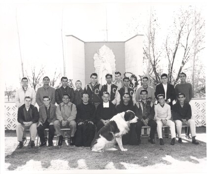
Alumnos antiguos de la secundaria Cathedral 1963
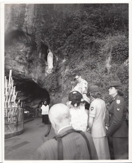
Stephen J. Ross serving as a lector for Mass at Lourdes ...
Ismael "Milo" Valenzuela - década de 1950
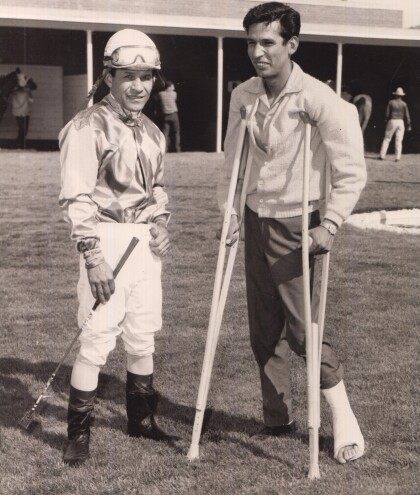
Ismael "Milo" Valenzuela with a friend at the track. Milo won ...
