Map of Texas and Adjacent Regions in the Eighteenth Century
Mapa de Texas y regiones adyacentes en el siglo dieciocho
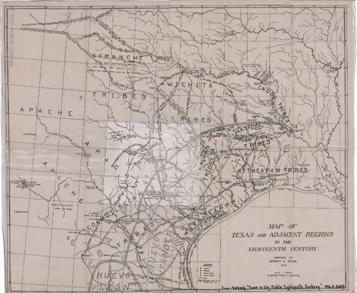
Mapa de Texas y regiones adyacentes en el siglo dieciocho
Mapa cubriendo 1700-1800 ilustra misiones, presidios, aldeas indias, ríos y caminos.
Reportar esta entrada
Más sobre la misma comunidad-colección
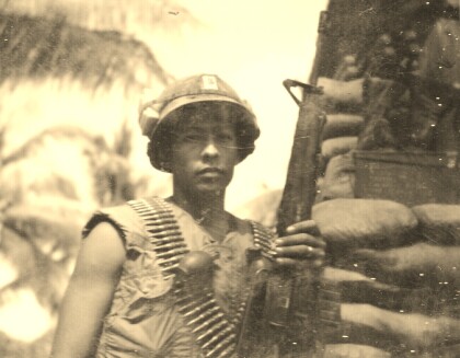
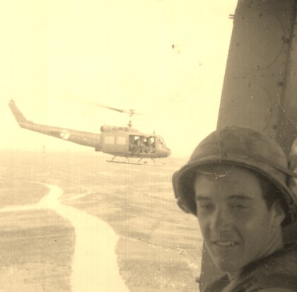
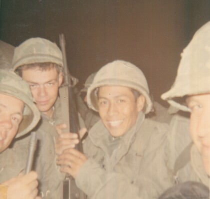
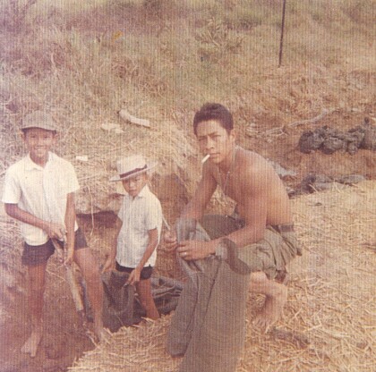
Fernando F. Villela - Vietnam - 1969
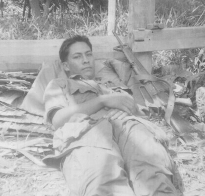
Fernando F. Villela laying down after a fire-fight from treeline ...
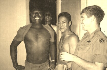
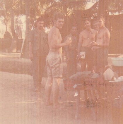
Fernando F. Villela - Vietnam - 1969
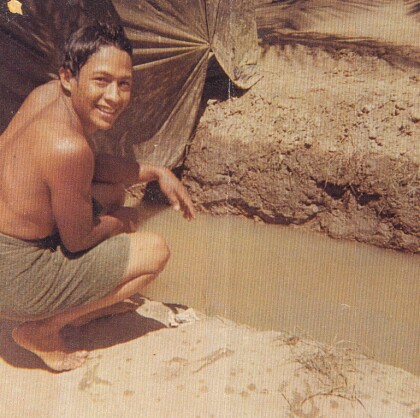
Fernando F. Villela - Vietnam - 1969 "Just showered at bunker ...
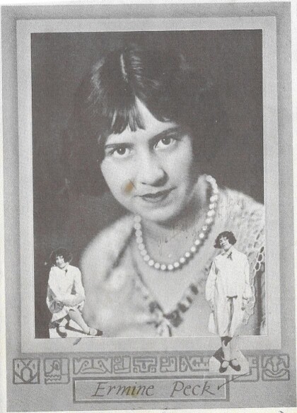
Ermine Peck McKay Hourigan - 1926
Mother of Thomas McKay - Founder - El Paso Boxing - Martial Arts ...
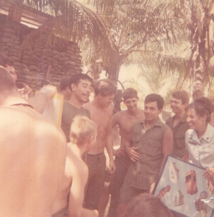
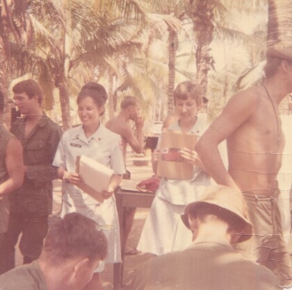
Estrella de bronce - Fernando Villela - 1969
Nurses visiting our bunker base in Bến Tre Province in ...
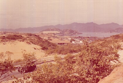
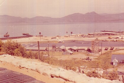
Camranh Bay en Vietnam - Fernando Villela - 1969
Photograph: Overview of Cam ranh Bay in Vietnam - 1969. On April ...
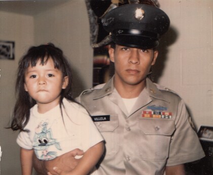
Fernando Villela con su hija - 1971
" Just before I got out of the Army". Fernando Villela holding ...
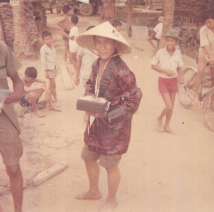
Vietnam - 1969 - Fernando Villela
"First Lieutenant in our company - real straight nice guy - in ...
