Map of Texas and Adjacent Regions in the Eighteenth Century
Mapa de Texas y regiones adyacentes en el siglo dieciocho
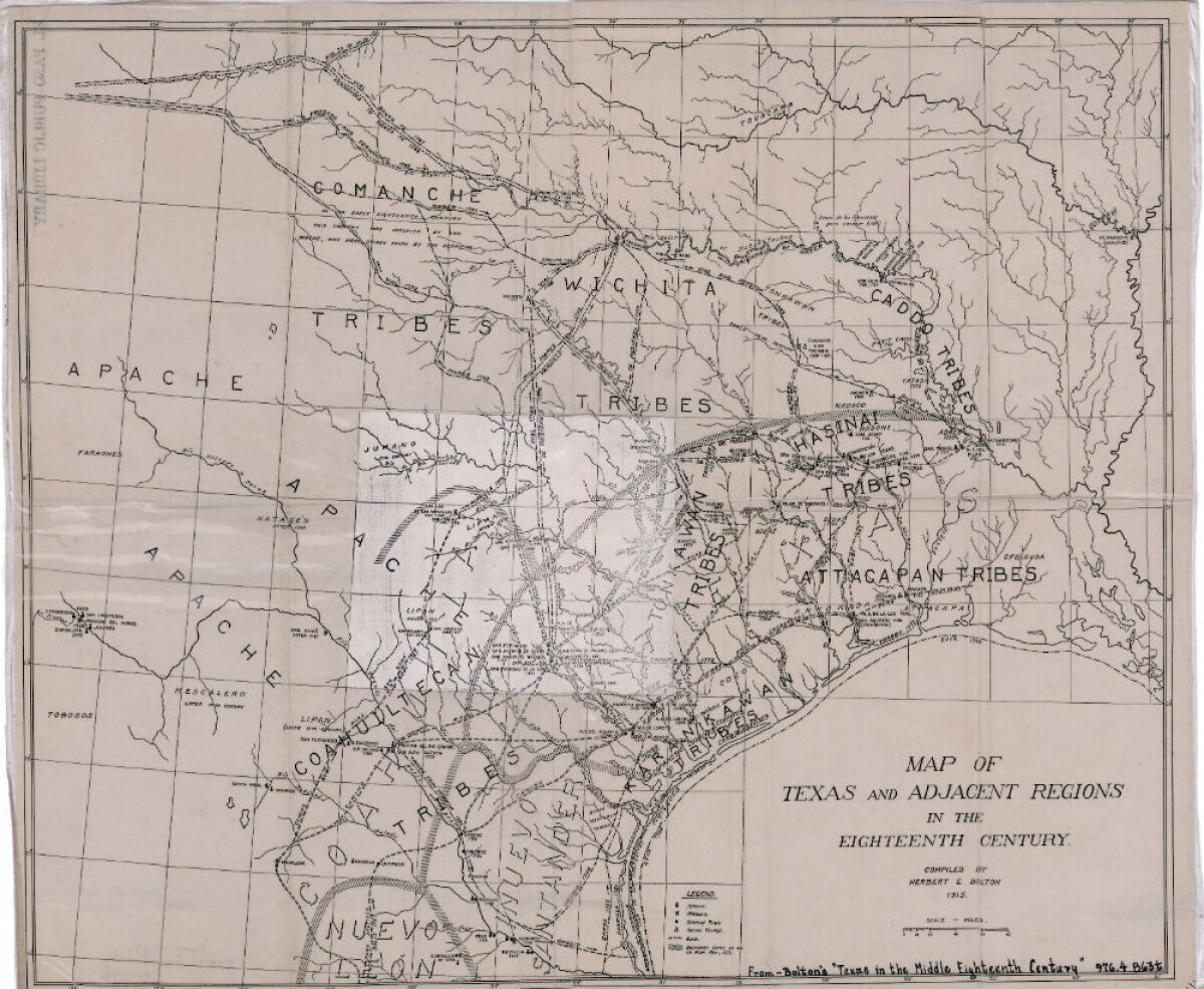
Mapa de Texas y regiones adyacentes en el siglo dieciocho
Mapa cubriendo 1700-1800 ilustra misiones, presidios, aldeas indias, ríos y caminos.
Reportar esta entrada
Más sobre la misma comunidad-colección
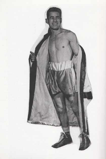
Manny Ortega - 1940 - 1949 - El Paso, Texas
Manny Ortega never got a title shot. What he did do to prove ...
Arreglos funerarios para James R. Muñoz en Nueva Jersey
When my grandfather died the arrangements were made for his ...
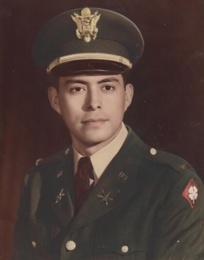
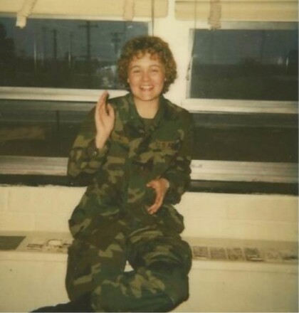
Foto militar de Leo Gallardo - 1960
Leo Gallardo - graduated from Texas Western College in 1959. ...
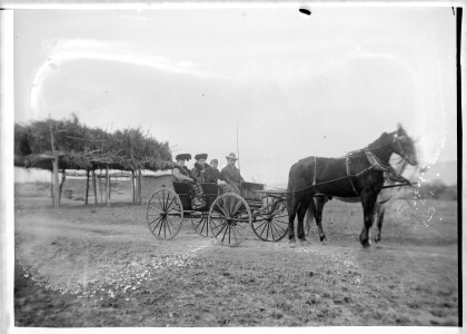
Familia en el carro tirado por caballos
This family shows up in other Lorentzen family photographs. ...
Antyn Vejil Force of Will calificador del campeonato mundial
Photograph - from left to right: Dan Musser (First place winner) ...
Force of Will AGP Dallas semifinalistas
Antyn Vejil (the player featured on the right side) facing off ...
Force of Will AGP Dallas (fuerza de voluntad AGP Dallas)
The Force of Will Top 8 for AGP Dallas 2016. El Paso player ...
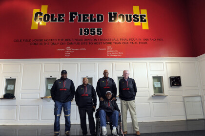
1966 equipo de campeonato de Texas Western
Some of the members of the 1966 Texas Western team visited Cole ...
