Map of Texas and Adjacent Regions in the Eighteenth Century
Mapa de Texas y regiones adyacentes en el siglo dieciocho
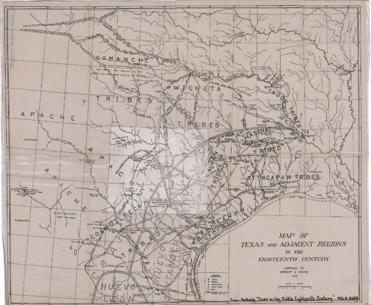
Mapa de Texas y regiones adyacentes en el siglo dieciocho
Mapa cubriendo 1700-1800 ilustra misiones, presidios, aldeas indias, ríos y caminos.
Reportar esta entrada
Más sobre la misma comunidad-colección
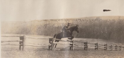
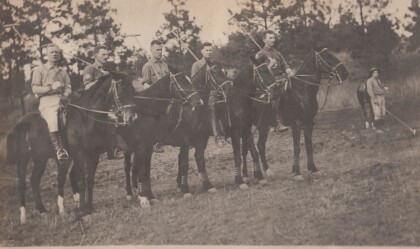
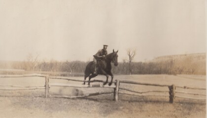
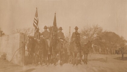
Polo Team, Troop "B" Va. Cav., Anniston, Alabama
Lt. Col. Featherstone served in the Virginia National Guard, and ...
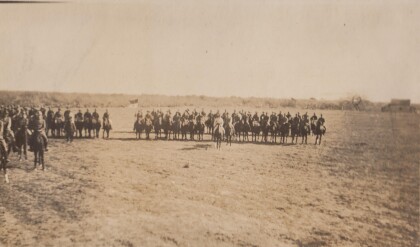
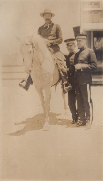
A "Bad Man" at Albuquerque, New Mexico
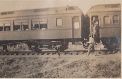
In 1915, the Richmond Light Infantry took a train trip to ...
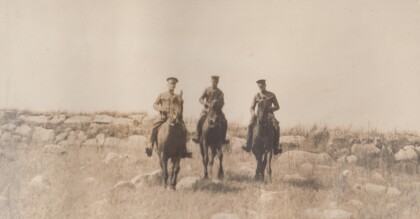
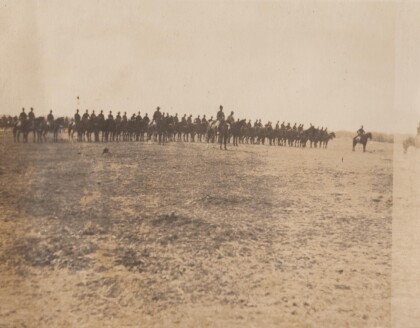
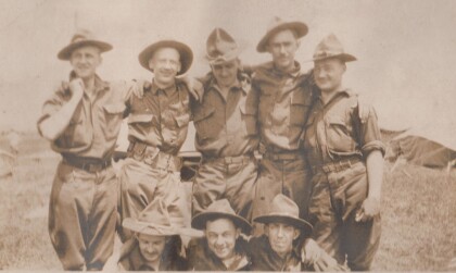
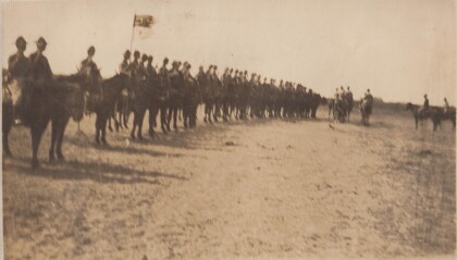
Inspection, B Troop, Virgina Cavalry
Lt. Col. Featherstone was First Sergeant, then 2nd Lieutenant, ...
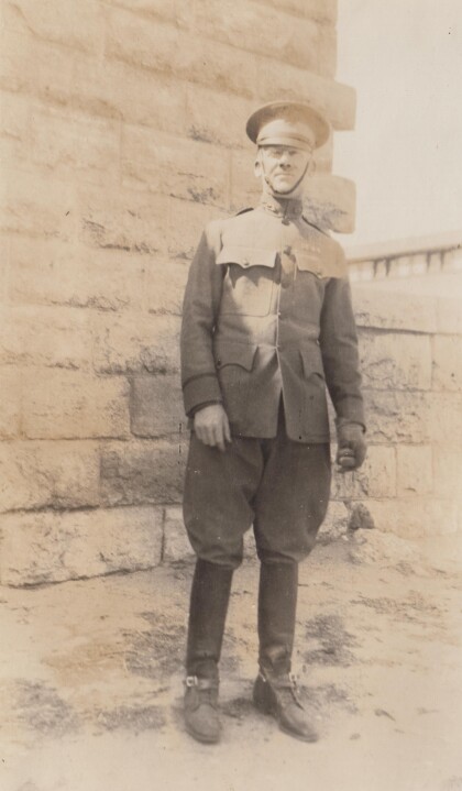
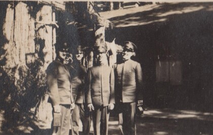
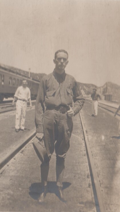
Capt. Puller [sic], Virginia Cavalry
The Virginia Cavalry was a National Guard unit that served on ...


![Capt. Puller [sic], Virginia Cavalry](https://www.digie.org/media_cache/27601/27601_latest_upload.jpg)
