Map of New Spain under the Viceroys
Mapa de Nueva España bajo los virreyes
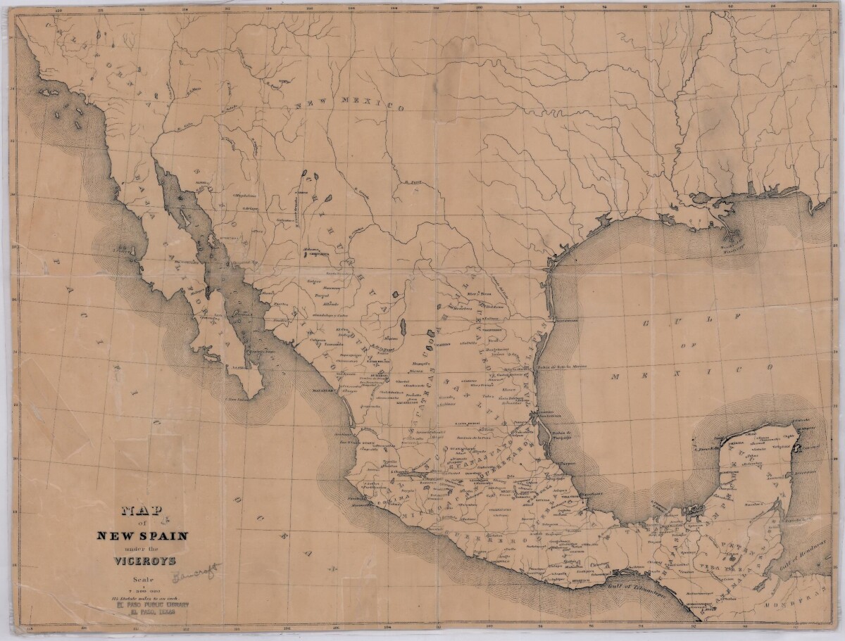
Mapa de Nueva España bajo los virreyes
Este mapa ilustra la Nueva España de los 1600's. Las áreas de Nuevo México, California, Baja California, Durango, Guanajuato, Puebla, Honduras, y pueblos y ríos están indicados.
Reportar esta entrada
Más sobre la misma comunidad-colección
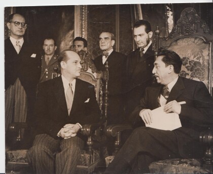
1954 Ramiro Gereda Asturias, Presidente Miguel Aleman y President Adolfo Ruiz Cortínez
Ramiro Gereda Asturias, presenting credentials as Ambassador of ...
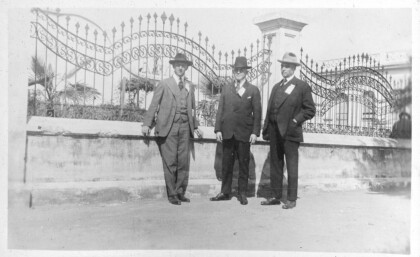
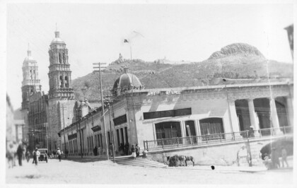
Photograph from the 1920 Peace and Progress Excursion
Peace and Progress Excursion to Mexico City, photo album ...
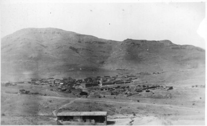
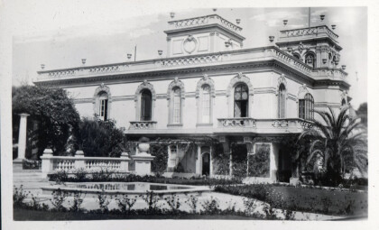
Photograph from the 1920 Peace and Progress Excursion
Peace and Progress Excursion to Mexico City, photo album ...
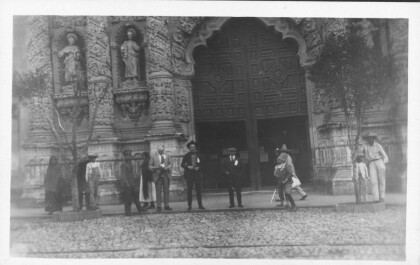
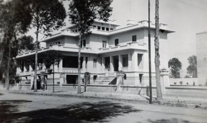
Photograph from the 1920 Peace and Progress Excursion
Peace and Progress Excursion to Mexico City, photo album ...
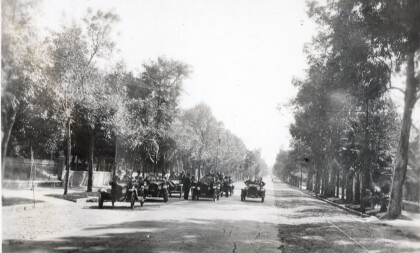
Photograph from the 1920 Peace and Progress Excursion
Peace and Progress Excursion to Mexico City, photo album ...
Photograph from the 1920 Peace and Progress Excursion
Peace and Progress Excursion to Mexico City, photo album ...
Photograph from the 1920 Peace and Progress Excursion
Peace and Progress Excursion to Mexico City, photo album ...
Photograph from the 1920 Peace and Progress Excursion
Peace and Progress Excursion to Mexico City, photo album ...
Photograph from the 1920 Peace and Progress Excursion
Peace and Progress Excursion to Mexico City, photo album ...
Photograph from the 1920 Peace and Progress Excursion
Peace and Progress Excursion to Mexico City, photo album ...
