City of El Paso Annexation Map
Mapa de anexión de la Ciudad de El Paso
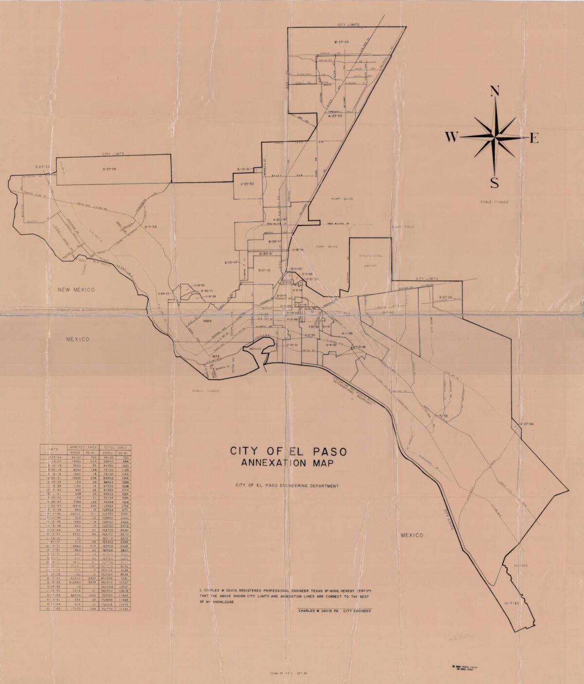
Mapa de anexión de la Ciudad de El Paso
Incluye fechas de anexión y medida de acres anexados entre los años 1873-1965
Reportar esta entrada
Más sobre la misma comunidad-colección
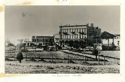
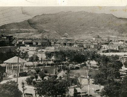
Vista de San Jacinto Plaza - El Paso, Tejas
The bandstand at one time was closer to the Main Street side of ...
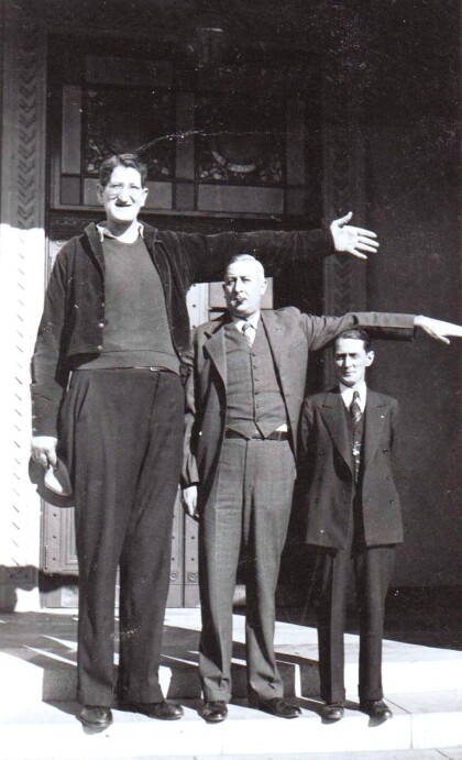
Jake Erlich - Tallest Man In The World
Many of us know of Erlich as the “world’s tallest man,” as ...
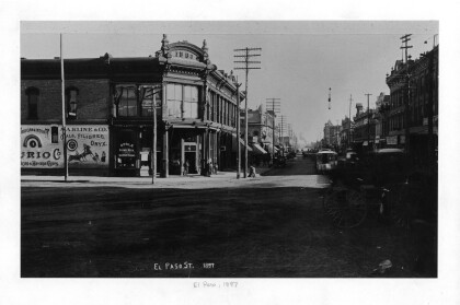
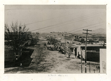
Downtown Store on El Paso Street - 1897
Unknown store on El Paso Street in Downtown El Paso. Date ...
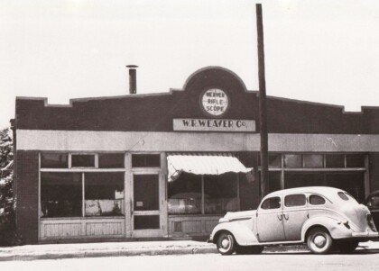
Primer Fabrica de Tejedor Scope - El Paso, Tejas
The W. R. Weaver Company made rifle scopes in El Paso from. ...
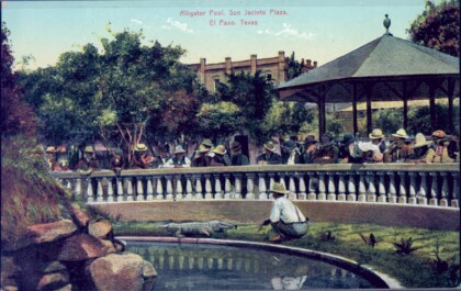
Alligator Pool on San Jacinto Plaza
This postcard shows the alligator pool on San Jacinto Plaza, ...
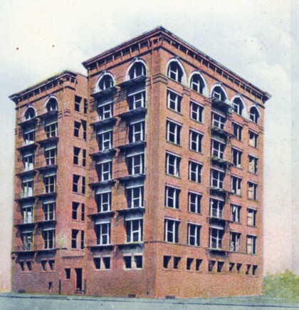
Phelps-Dodge Building - El Paso, Texas
The Phelps-Dodge building in El Paso housed the business office ...
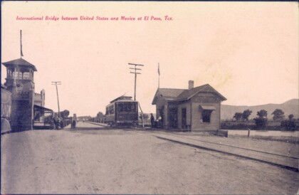
Puente Internacional entre Estados Unidos y Mexico
This postcard shows the International Bridge which connects ...
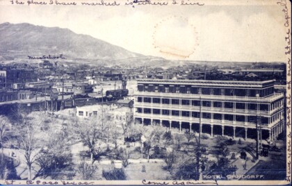
Hotel Orndorff y San Jacinto Plaza
This postcard shows the Hotel Orndorff, which was located at San ...
William S. Tilney, El Paso, TX, Mayor 1991-'93
William S. Tilney was the mayor of El Paso from 1991-1993.
