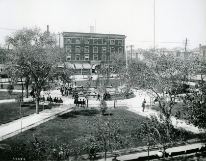
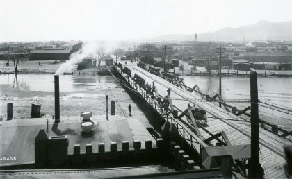
City of El Paso Annexation Map
Mapa de anexión de la Ciudad de El Paso
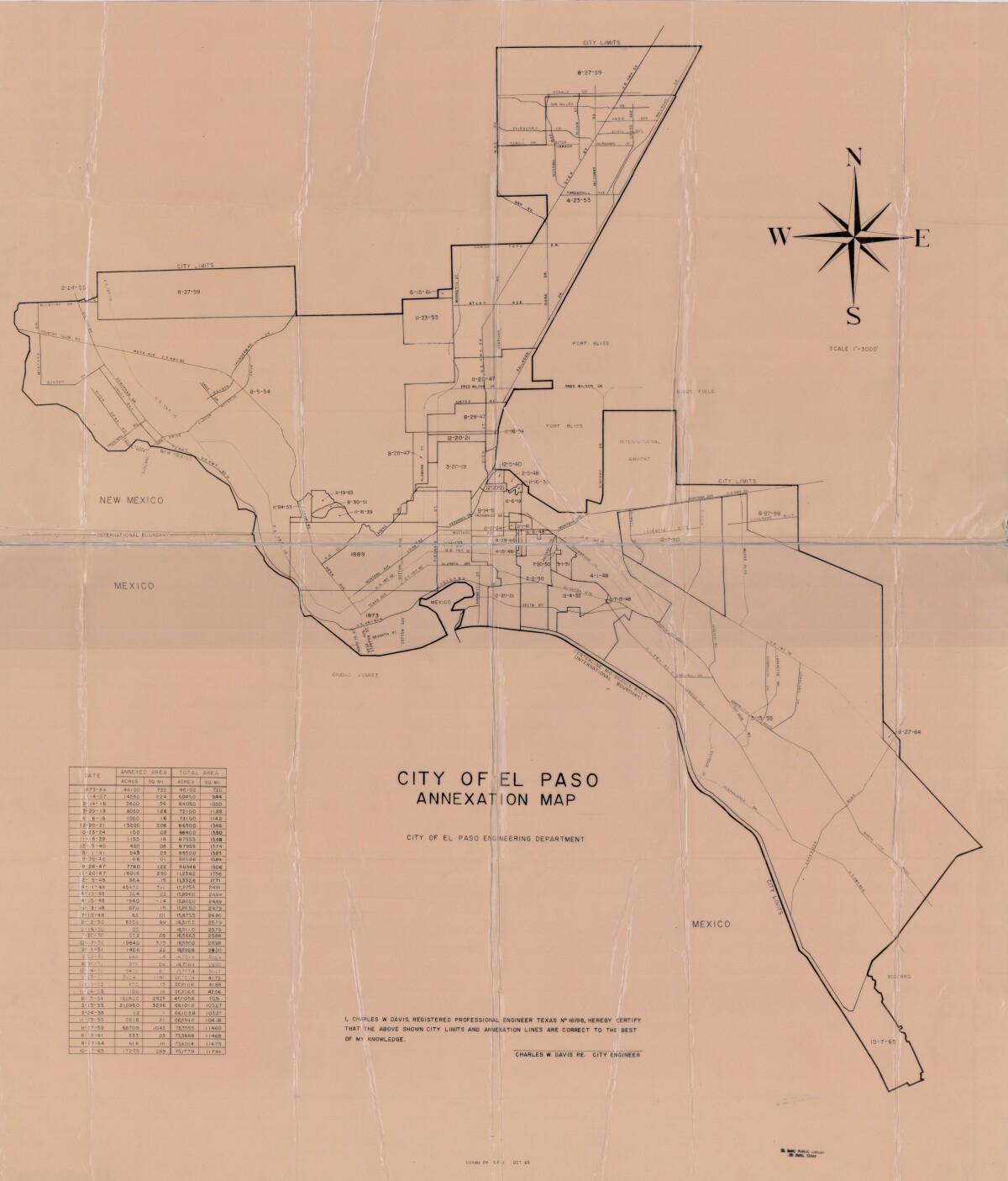
Mapa de anexión de la Ciudad de El Paso
Incluye fechas de anexión y medida de acres anexados entre los años 1873-1965
Reportar esta entrada
Más sobre la misma comunidad-colección
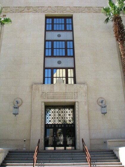
Palacio de Justicia de EE.UU. en El Paso
The image shows the entrance of the El Paso U. S. Courthouse. ...
Signo de Corte del Condado de El Paso
The image shows the sign of the new El Paso County Courthouse. ...
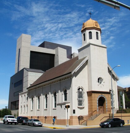
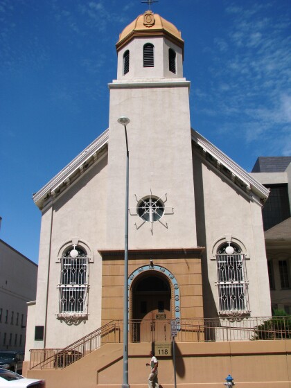
Iglesia de la Inmaculada Concepción
Immaculate Conception is one of the parishes established by ...
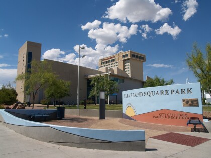
El Paso Museum of History -El Paso, Texas
El Paso Museum of History located at Cleveland Square Park - El ...
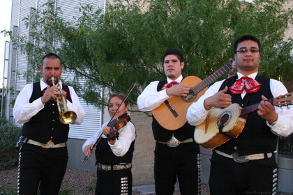
Mariachi Band performing at the El Paso Museum of History during the celebration of El Paso's Second Wall of Giants dedicated to Farah Manufacturing Co and its employees. There was a big reunion of former Farah Manufacturing Co employees in June of 2
Mariachi Band playing good music at the El paso Museum of ...
Puente Santa Fe 1911 - El Paso, Tejas
The picture shows Santa Fe Street bridge, which connected El ...

