City of El Paso Annexation Map
Mapa de anexión de la Ciudad de El Paso
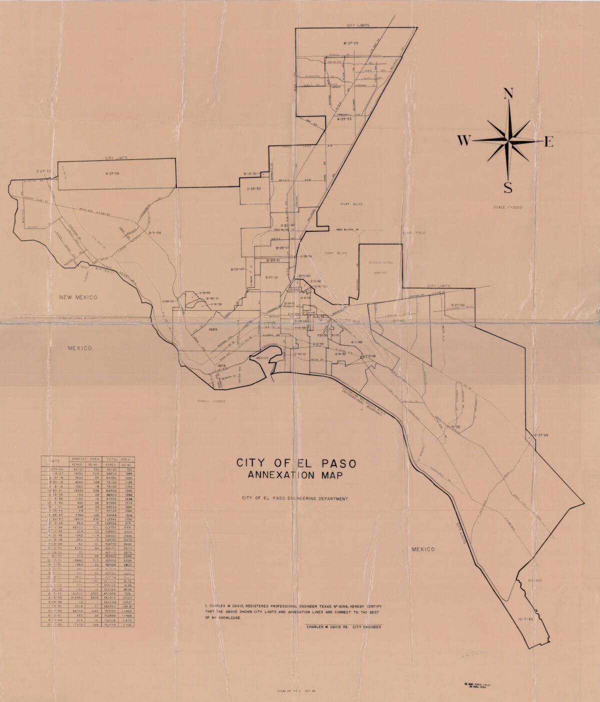
Mapa de anexión de la Ciudad de El Paso
Incluye fechas de anexión y medida de acres anexados entre los años 1873-1965
Reportar esta entrada
Más sobre la misma comunidad-colección
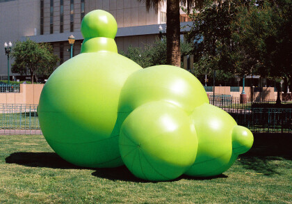
"Green Golly" en Chalk the Block 2009
This picture shows "Green Golly", a huge balloon by Sharon E. ...
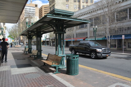
Bus Stop near the Cafe Central on Oregon
The Plaza Hotel, on the corner of Oregon and Mills, is to the ...
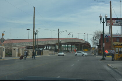
Puente Paseo del Norte en El Paso, Tejas.
Paso del Norte Bridge, Border Highway intersects El Paso Street ...
DeSoto Hotel and El Paso's Boxing Wall of Fame
De Soto Hotel can be found on E Mills Avenue 309. They can be ...
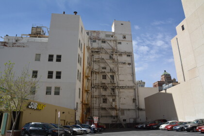
Subway Restaurant surrounded by buildings 105 N Stanton.
Subway Restaurant surrounded by apartment buildings on 105 N ...
