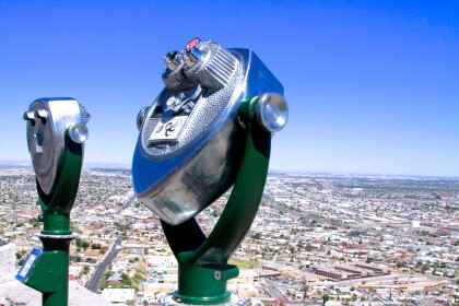
Map and Street Guide of El Paso, Texas circa 1925
Mapa y guía callejera de El Paso Texas
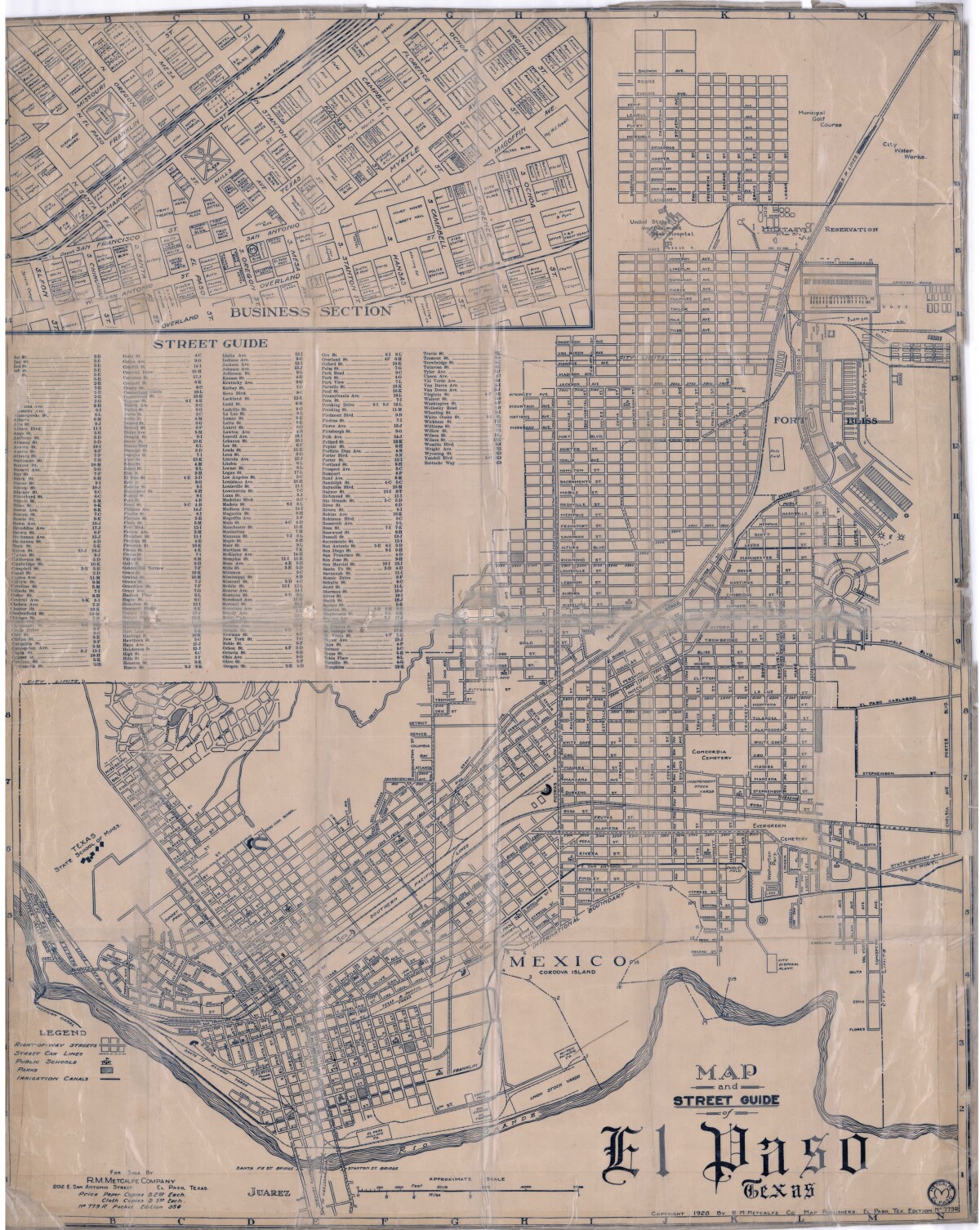
Mapa y guía callejera de El Paso Texas
Mapa de 1928 que incluye calles, ubicación de escuelas, parques, acequias, puentes internacionales, la isla de Córdova y la reserva militar Ft. Bliss.
Reportar esta entrada
Más sobre la misma comunidad-colección
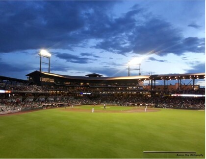
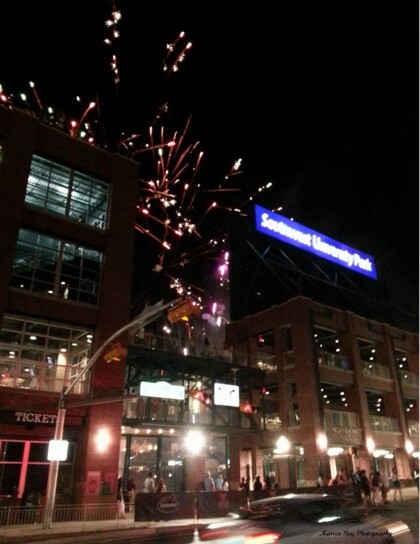
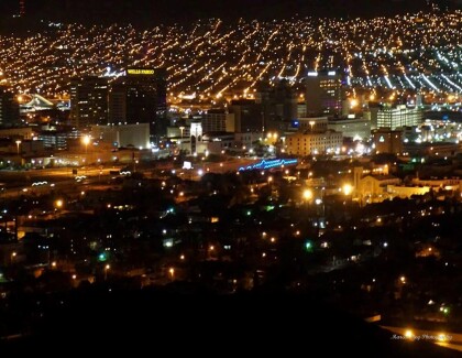
Southwest University Park Baseball Stadium
Southwest University Park Baseball Stadium firework celebration!
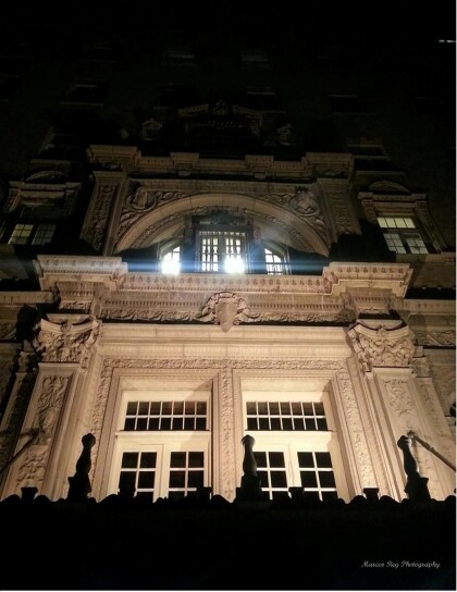
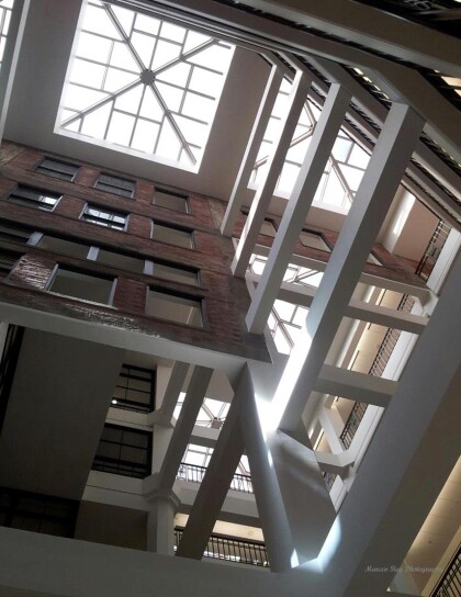
Look up when inside the White House
Take a look at the great architectural design and at the sky ...
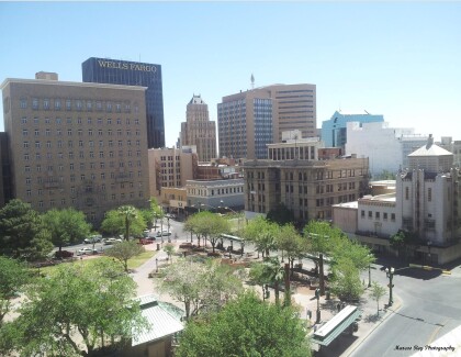
Farewell City Hall and Insights Museum
The start of the demolition of the Insights Museum and City Hall ...
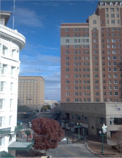
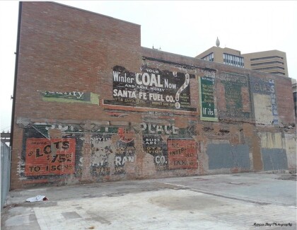
Old advertisement painting Revealed
Look at these old advertisements paintings that were revealed ...
