Map and Street Guide of El Paso, Texas circa 1925
Mapa y guía callejera de El Paso Texas
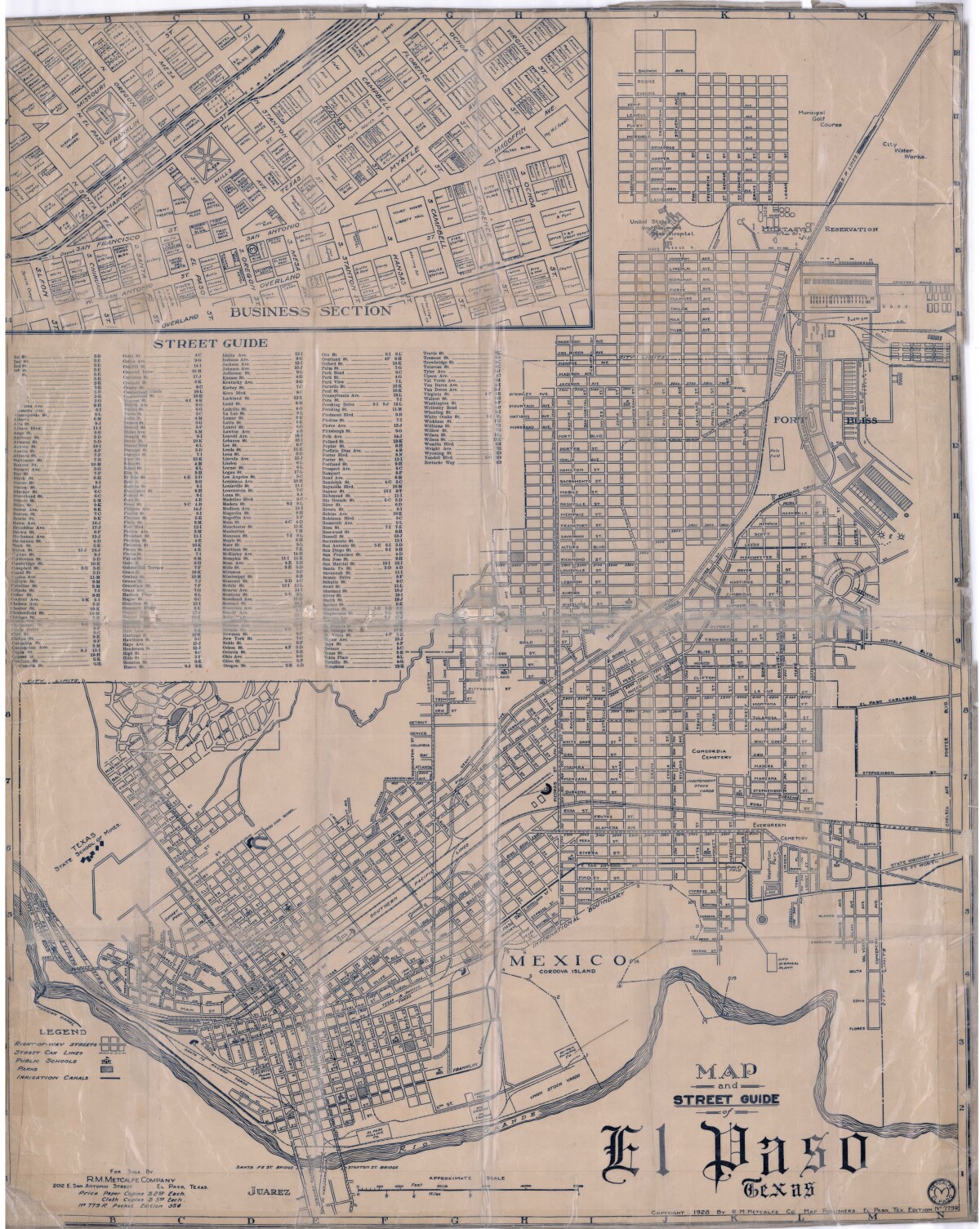
Mapa y guía callejera de El Paso Texas
Mapa de 1928 que incluye calles, ubicación de escuelas, parques, acequias, puentes internacionales, la isla de Córdova y la reserva militar Ft. Bliss.
Reportar esta entrada
Más sobre la misma comunidad-colección
Man Killing Intersection of The American West - Video
Story told by Leon Metz. "Man Killing Intersection Of The ...
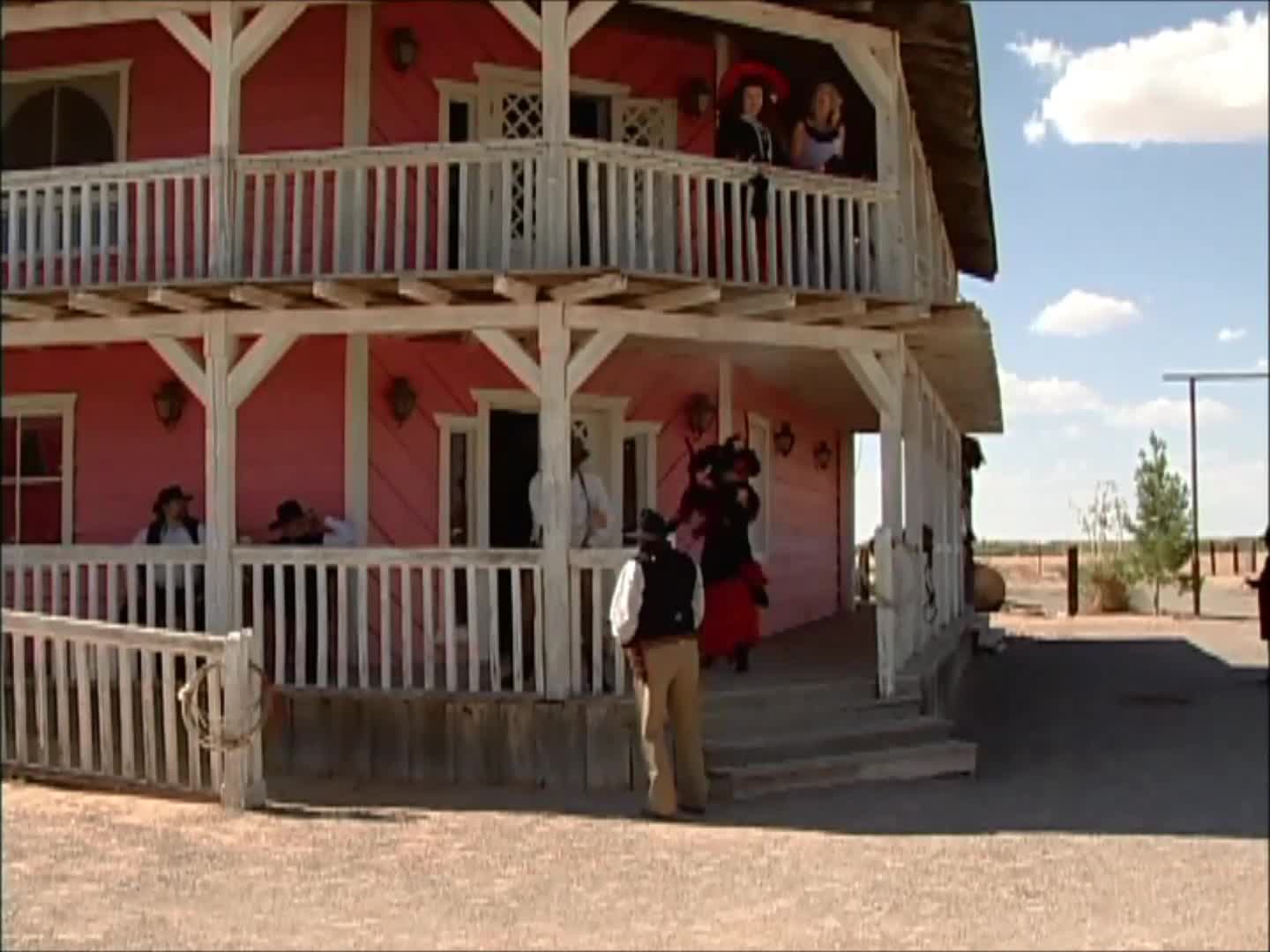
Cuatro Muertos en Cinco Segundos - Video
Gunfight--"Four Dead In Five Seconds". Occurred on April 14, ...
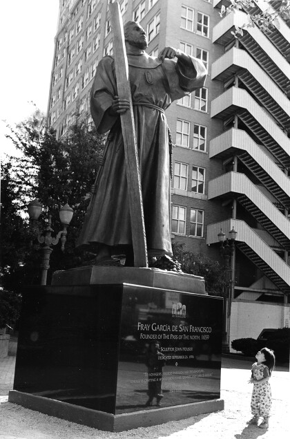
Fray Garcia De San Francisco - El Paso, Texas
On September 26, 1996, Houser installed in downtown El Paso, a ...
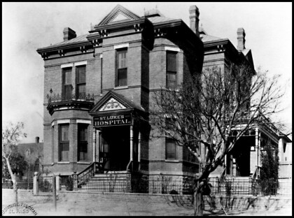
St. Luke's Hospital - El Paso, Texas
The image shows the St. Luke's Hospital in the 1900s. It was one ...
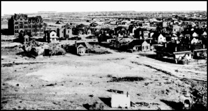
Hotel Dieu Hospital, El Paso, TX circa 1900
The image shows Hotel Dieu to the upper left of the image. It ...

