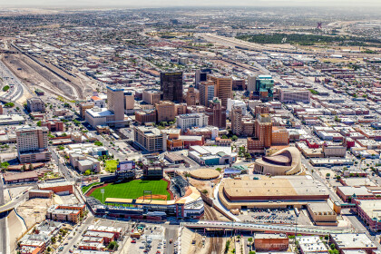
Map and Street Guide of El Paso, Texas circa 1925
Mapa y guía callejera de El Paso Texas
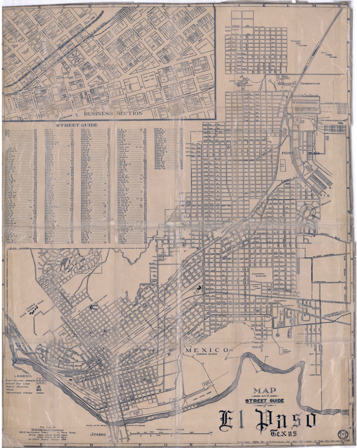
Mapa y guía callejera de El Paso Texas
Mapa de 1928 que incluye calles, ubicación de escuelas, parques, acequias, puentes internacionales, la isla de Córdova y la reserva militar Ft. Bliss.
Reportar esta entrada
Más sobre la misma comunidad-colección
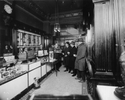
Kohlberg Brothers Tobacco Company
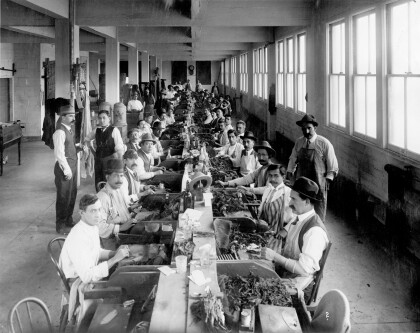
The image shows workers making cigars at the Kohlberg Brothers ...
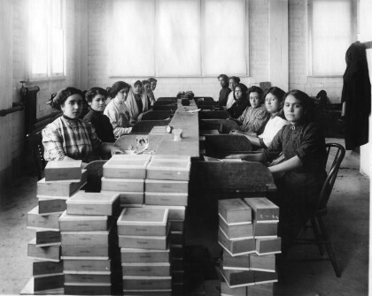
Kohlberg Brothers Tobacco Company
The image shows female workers putting cigars into boxes at the ...
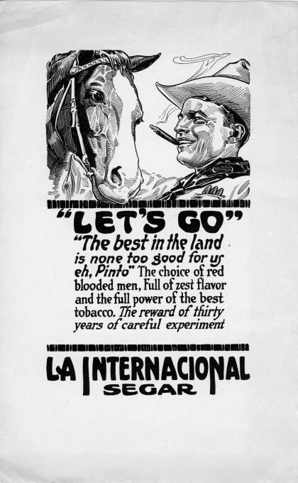
Let's Go - advertisement for La Internacional cigar
The image shows advertisement for La Internacional cigar - the ...
Los Lagartos de San Jacinto Plaza en Navidad
Celebrating the lighting of the Christmas tree on December 5, ...
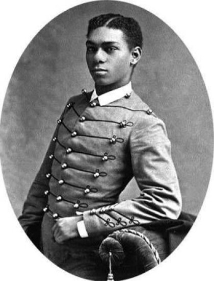
Henry O. Flipper, 1856 - 1940
Henry Ossian Flipper, engineer, the first black graduate of West ...
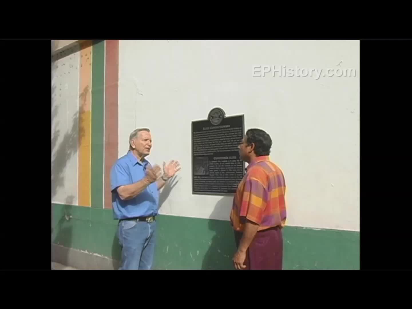
Pancho Villa and Ice Cream - Video
Elite Confectionary 201 N. Mesa St. Pancho Villa would visit the ...
