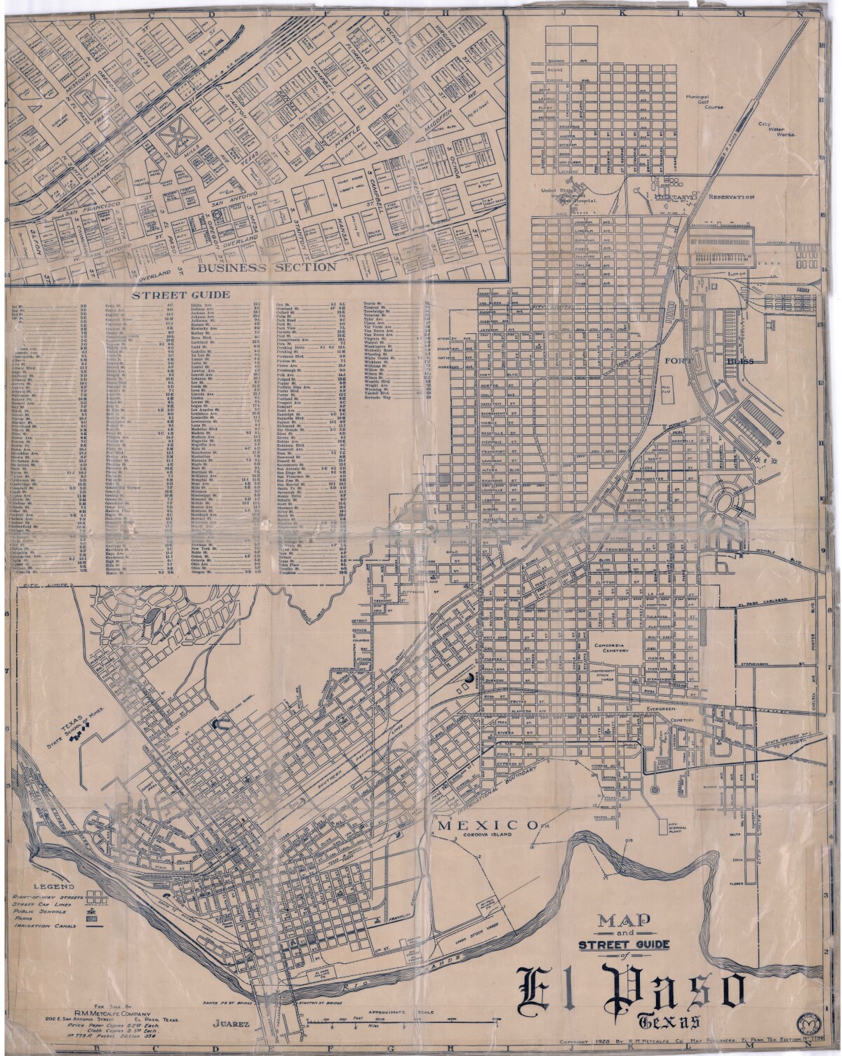
Map and Street Guide of El Paso, Texas circa 1925
Mapa y guía callejera de El Paso Texas

Mapa y guía callejera de El Paso Texas
Mapa de 1928 que incluye calles, ubicación de escuelas, parques, acequias, puentes internacionales, la isla de Córdova y la reserva militar Ft. Bliss.
Reportar esta entrada
Más sobre la misma comunidad-colección
Installation view, Early West Texas, EPMA.
Early West Texas: Waypoint and Home July 1 – November 3, 2018 ...
Installation view, Early West Texas, EPMA.
Early West Texas: Waypoint and Home July 1 – November 3, 2018 ...
Installation view, Early West Texas, EPMA.
Early West Texas: Waypoint and Home July 1 – November 3, 2018 ...
Installation view, The Empire of Texas, EPMA.
The Empire of Texas March 2 – June 24, 2018 Peter and ...
Installation view, The Empire of Texas, EPMA.
The Empire of Texas March 2 – June 24, 2018 Peter and ...
Installation view, The Empire of Texas, EPMA.
The Empire of Texas March 2 – June 24, 2018 Peter and ...
Installation view, The Empire of Texas, EPMA.
The Empire of Texas March 2 – June 24, 2018 Peter and ...
Installation view, Papel Chicano Dos, EPMA.
Papel Chicano Dos: Works on Paper from the Collection of Cheech ...


