Map and Street Guide of El Paso, Texas circa 1925
Mapa y guía callejera de El Paso Texas
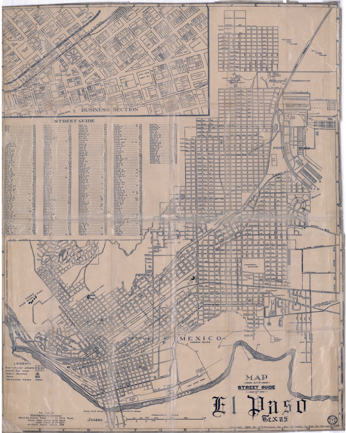
Mapa y guía callejera de El Paso Texas
Mapa de 1928 que incluye calles, ubicación de escuelas, parques, acequias, puentes internacionales, la isla de Córdova y la reserva militar Ft. Bliss.
Reportar esta entrada
Más sobre la misma comunidad-colección
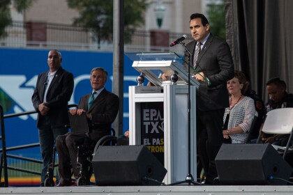
August 3rd Community Memorial Service
The City of El Paso is hosted a Community Memorial Service to ...
3 de agosto - Servicio conmemorativo comunitario
The City of El Paso is hosted a Community Memorial Service to ...
August 3rd Community Memorial Service
The City of El Paso is hosted a Community Memorial Service to ...
August 3rd Community Memorial Service
The City of El Paso is hosted a Community Memorial Service to ...
August 3rd Community Memorial Service
The City of El Paso is hosted a Community Memorial Service to ...
August 3rd Community Memorial Service
The City of El Paso is hosted a Community Memorial Service to ...
August 3rd Community Memorial Service
The City of El Paso is hosted a Community Memorial Service to ...
Photograph by Mandy Shantyne Lopez
Pasos Urbanos: A Photographic Narrative of Borderlands Downtown ...
Photograph by Mandy Shantyne Lopez
Pasos Urbanos: A Photographic Narrative of Borderlands Downtown ...
Photograph by Mandy Shantyne Lopez
Pasos Urbanos: A Photographic Narrative of Borderlands Downtown ...
Photograph by Mandy Shantyne Lopez
Pasos Urbanos: A Photographic Narrative of Borderlands Downtown ...
Photograph by Mandy Shantyne Lopez
Pasos Urbanos: A Photographic Narrative of Borderlands Downtown ...

