El Paso & Juarez tourist map
Mapa turístico de El Paso y Juarez
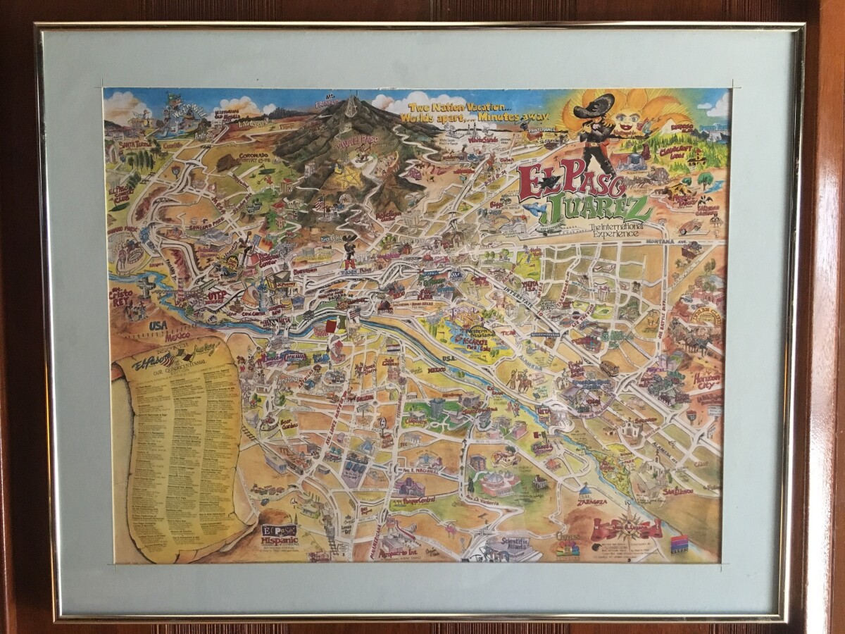
Mapa turístico de El Paso y Juarez
Un mapa de época de dos grandes ciudades, El Paso y Juárez. Este mapa destaca todos los principales destinos de la ciudad en forma de caricatura divertida.
Reportar esta entrada
Más sobre la misma comunidad-colección
Photography by Francisco Varela
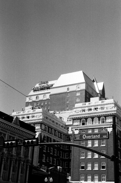
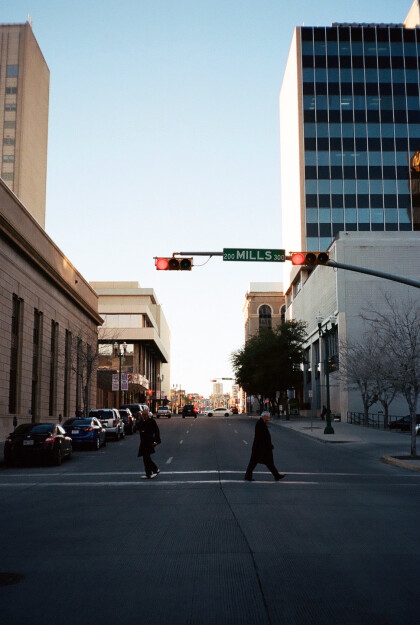
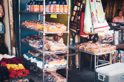
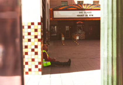
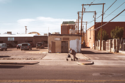
Pasos Urbanos: A Photographic Narrative of Downtown Borderland ...
Photography by Patricia Nayeli Hernández Hernández
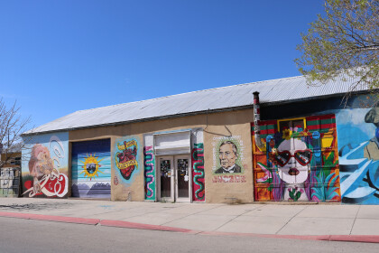
Pasos Urbanos: A Photographic Narrative of Downtown Borderland ...
Photography by Patricia Nayeli Hernández Hernández
Pasos Urbanos: A Photographic Narrative of Downtown Borderland ...
Photography by Patricia Nayeli Hernández Hernández
Pasos Urbanos: A Photographic Narrative of Downtown Borderland ...
Photography by Patricia Nayeli Hernández Hernández
Pasos Urbanos: A Photographic Narrative of Downtown Borderland ...
Photography by Patricia Nayeli Hernández Hernández
Pasos Urbanos: A Photographic Narrative of Downtown Borderland ...
Photography by Antonio Holguin III
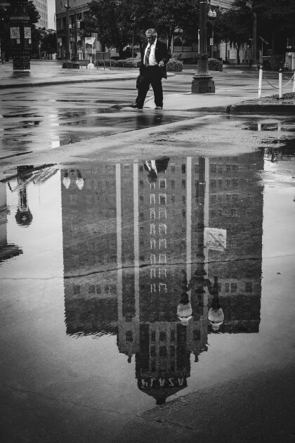
Pasos Urbanos: A Photographic Narrative of Downtown Borderland ...
Photography by Antonio Holguin III
Pasos Urbanos: A Photographic Narrative of Downtown Borderland ...
Photography by Antonio Holguin III
Pasos Urbanos: A Photographic Narrative of Downtown Borderland ...
Photography by Antonio Holguin III
Pasos Urbanos: A Photographic Narrative of Downtown Borderland ...
Photography by Antonio Holguin III
Pasos Urbanos: A Photographic Narrative of Downtown Borderland ...
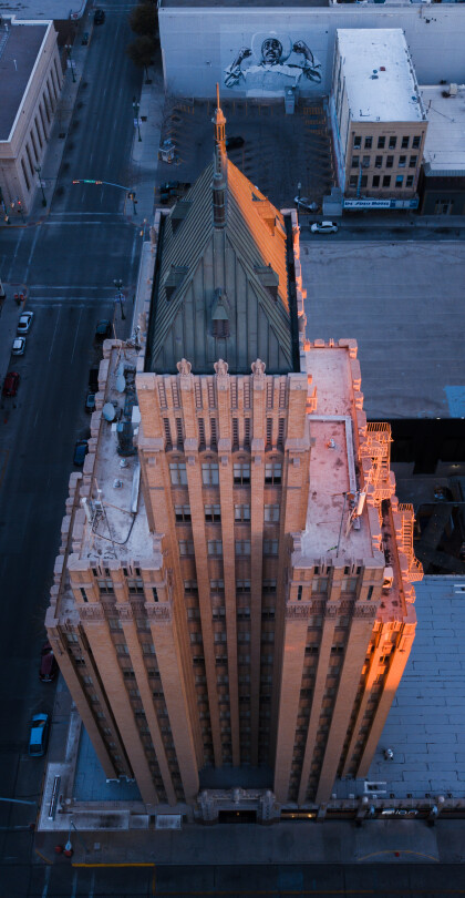
Photography by Ethan Thomas, Kress Building, El Paso, TX
Pasos Urbanos: A Photographic Narrative of Downtown Borderland ...
