Jim Miller
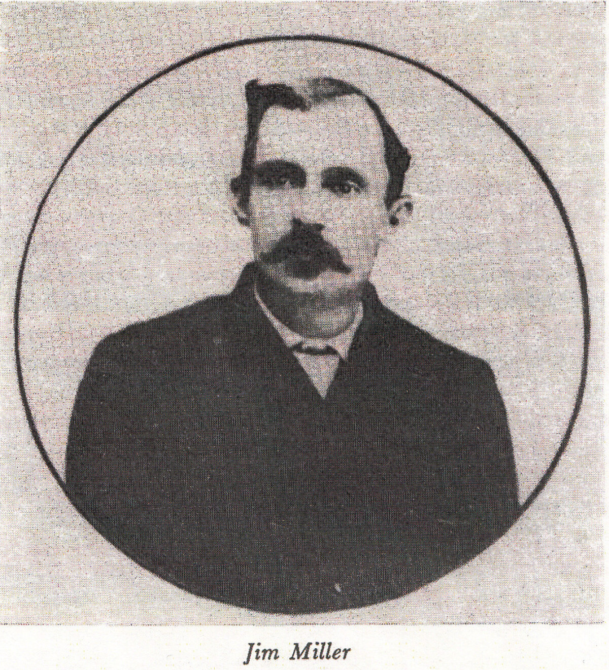
Jim Miller
Jim Miller - one of a number possible suspects for Pat Garrett's murder. For anyone in the Southwest wanting to hire an assassin, "Deacon" James P. Miller was a good selection. He was a real pro, effective, and clever in arranging his alibis in advance. His "cover" was as manager of a small but respectable hotel, and he was noted for his fervor when he joined in the hymn-singing at the church services which he attended regularly when not away from home practicing his favorite trade. His luck was uncanny; he was repeatedly acquitted on those occasions when he was caught and tried. After the Garrett killing, however, his luck ran out; at almost exactly the same time Wayne Brazel was tried and acquitted for the murder of Pat Garrett, Jim Miller and some of his fellow exterminators were lynched in Ada, Oklahoma. Concerning Jim Miller's role in the killing of Pat Garrett, Dee Harkey, Pecos valley rancher-lawman, had this to say: "I am certain in my own mind that Miller killed Pat Garrett, because he went to my ranch in Roosevelt County, N.M. and borrowed one of my horses from Joe Beasley, who was working for me, and rode the horse into Otero County where Pat Garrett was killed that night. He then rode the horse back to my ranch. The trip killed the horse. "I asked Beasley, 'What killed this horse?' and he told me about lending the horse to Jim Miller. He said 'Miller rode over and killed Pat Garrett, and told me what he had done. He said if he was ever indicted for it, he was going to expect to show by me that he was here at your ranch at the time Pat Garrett was killed." Dee Harkey's account may well be essentially true but some flaws are apparent. The killing was not in Otero but in Dona Ana County, and occurred in mid-morning, not at night. No horse that ever lived could have left the Harkey ranch and reached the Las Cruces neighborhood, three hundred miles away, the same day. The Harkey account sounds entirely probable, except for the time element. Miller had been seen on the streets of El Paso a week before the shooting, and in the First National Bank and the Park hotel at Las Cruces thereafter. He was not a hard man to notice and remember; his garb was that not seen every day in these towns, "a cross between a preacher and a dandy." It has been pointed out that his favorite weapon was a shotgun; it seems reasonable, though, that a man would have chosen a rifle if he expected to pick off, from some distance away, one particular man in a group of three. Jim Miller was around at the time all right, but was it he or was it someone else who left those cartridge shells behind the rim of Alameda arroyo?
Reportar esta entrada
Más sobre la misma comunidad-colección
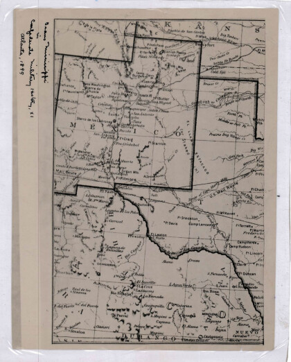
Nuevo México, Texas; Chihuahua, México 1861-1865
Map of the borders between New Mexico, Texas and Chihuahua, ...
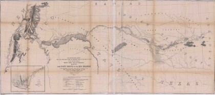
Mapa numero 1º desde Fort Smith hasta el Río Grande.
Map of the route near the 35th parallel. Part of the ...
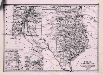
Texas, Nuevo México y Territorio Indio con alrededores de Chicago y Nueva Orleans
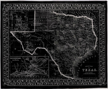
Map of Texas counties and New Mexico showing Indian Territories ...
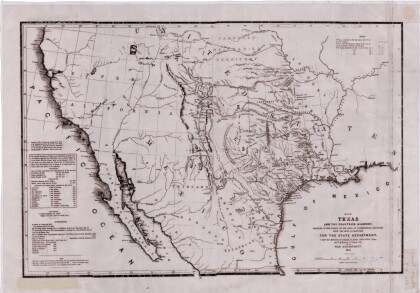
Texas: Conteniendo las concesiones y descubrimientos más recientes
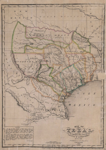
Map of Texas containing the latest grants and discoveries in ...
Mapa estructural de Pecos Texas
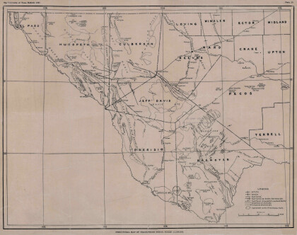
Map of the Trans-Pecos, Texas area; Outlines and lines are shown ...
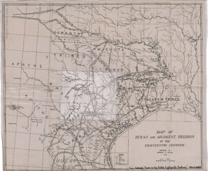
Mapa de Texas y regiones adyacentes en el siglo dieciocho
Map of Texas and the adjacent regions illustrating missions, ...
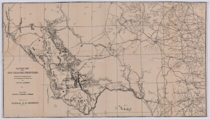
Mapa militar de la frontera del Río Grande
Military map of the Rio Grande frontier prepared from original ...
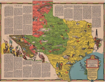
Texas el Estado de la Estrella Solitaria
Picturesque historical map of Texas with information on ...
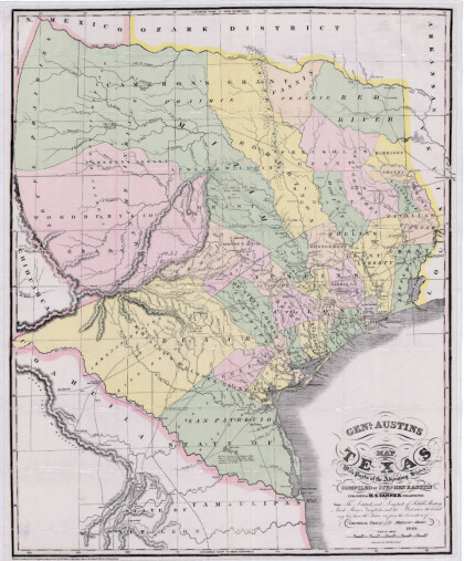
Mapa de Texas y partes de los estados colindantes por el General Austin
Colorful map of Texas highlighting the borders between states ...
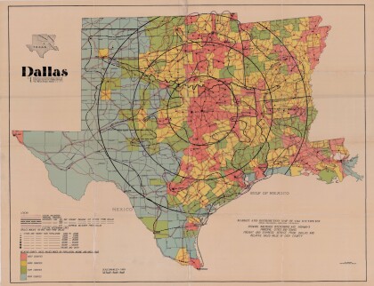
Dallas: Centro industrial y de distribución del suroeste
Colorful market and distribution map of the Southwest - Texas, ...
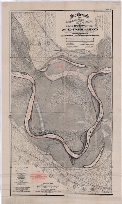
El Río Grande desde el Río San Juan hasta el Golfo de México
Map illustrates the Rio Grande from the San Juan River to the ...
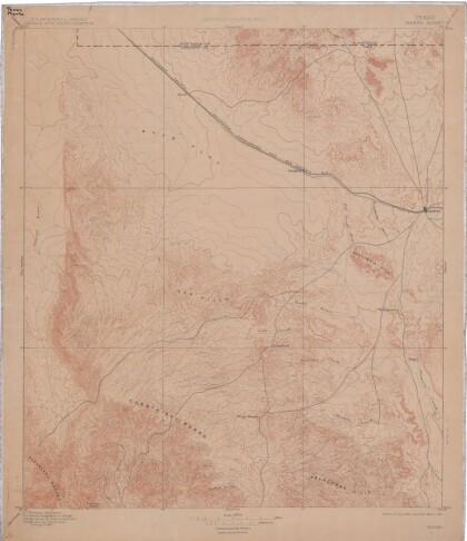
Mapa de reconocimiento de Marfa, Texas
This topographic USGS map sheet indicates Marfa's surrounding ...
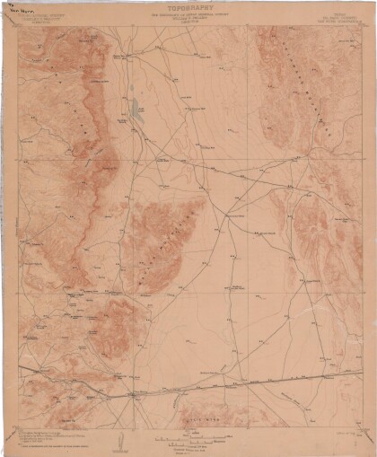
Topografía: la Universidad de Texas estudio de minerales
Topographic map of the Van Horn quadrangle in Texas. Indicates ...
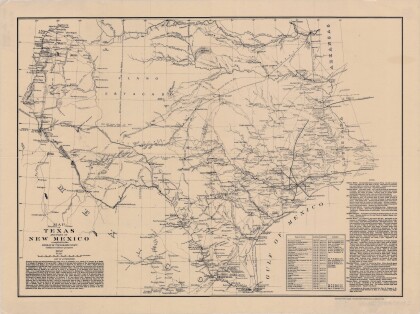
Mapa de Texas y parte de Nuevo México
Map of Texas and part of New Mexico compiled chiefly for ...
Estado de Texas por J. De Cordova
This geographical map of Texas was compiled from the records of ...
