Wayne Brazel
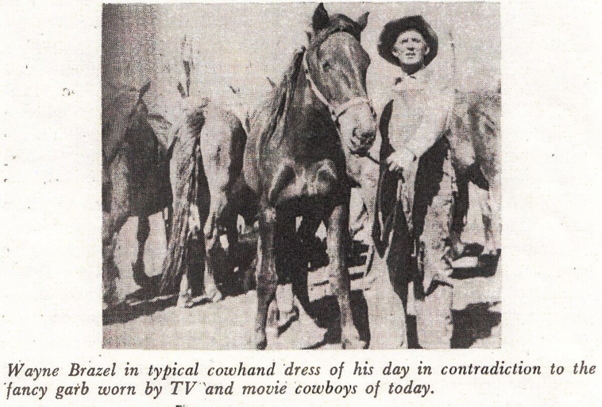
Wayne Brazel
Wayne Brazel - Just one of a number of possible suspects of Pat Garrett's murder Seeking land for his goats to graze on in order to fund a future wedding with Olive Boyd a local school teacher, Wayne was allowed access to land on Garrett's mining patent, and Garrett welcomed the revenue the five-year lease would bring. Garrett naturally assumed they wanted it for grazing cattle, and he was not at all happy when he learned that goats, not cattle, were pastured in Bear Canyon. The matter came to a head when he was approached by a man who introduced himself as Carl Adamson, a Pecos Valley rancher, representing a man who was interested in leasing both the ranch and the Bear Canyon property. The man, said Adamson, was J.P. Turner of Fort Worth, Texas, who wanted to fatten cattle he was bringing from Mexico for his ranch in Oklahoma. To make the prospect even more attractive, there was an intimation that Turner might be interested in buying the property later on. To give immediate possession, Garrett, of course, would have to get the goat raisers out of Bear Canyon. In an amicable meeting at Garrett's home, Brazel agreed to cancel the lease provided he and his partner were relieved of their investment in the goat herd. Adamson offered to pay for only 1200 of the 1800 goats, Brazel refused. So matters stood on February 28, 1908. A note addressed to Brazel was delivered to him in the late afternoon. The note, signed by Garrett, reportedly named a time and place where Brazel must meet him and come to an agreement one way or another, and then go to Las Cruces to meet the man who was waiting to take over the ranch. The note set the time as ten o' clock the following morning; the location specified was a place called "the Junction," in Alameda Arroyo where the road between Organ and Las Cruces joined a side road from the ranches east of town.The note was later identified by Deputy Sheriff Felipe Lucero as being in Garrett's handwriting but in view of what followed the plan was doubtless suggested by Carl Adamson. Wayne Brazel set off the next morning on a horse named "Loco," his pace was leisurely, he was early for the appointment. Brazel was overtaken about seven miles from downtown Las Cruces by a buckboard drawn by a team of sorrell mares, carrying Garrett and Adamson. There was some discussion between him and Garrett as they rode along for a couple of miles, when Adamson suggested a rest stop. The events which presumably followed were related in testimony at the preliminary hearing and later at Wayne Brazel's trial. What really happened at this lonely spot is the crux of the mystery. No one has since been able to solve the case of who really killed Pat Garrett, and Wayne Brazel was eventually acquitted.
Reportar esta entrada
Más sobre la misma comunidad-colección
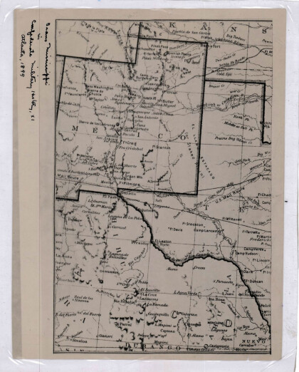
Nuevo México, Texas; Chihuahua, México 1861-1865
Map of the borders between New Mexico, Texas and Chihuahua, ...
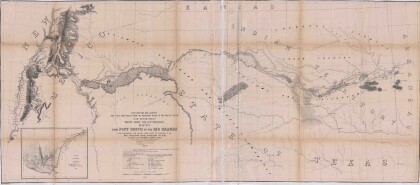
Mapa numero 1º desde Fort Smith hasta el Río Grande.
Map of the route near the 35th parallel. Part of the ...
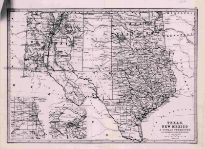
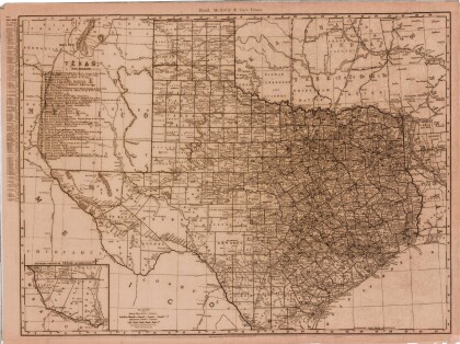
Texas, Nuevo México y Territorio Indio con alrededores de Chicago y Nueva Orleans
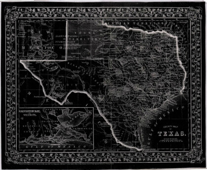
Map of Texas counties and New Mexico showing Indian Territories ...
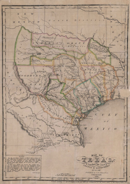
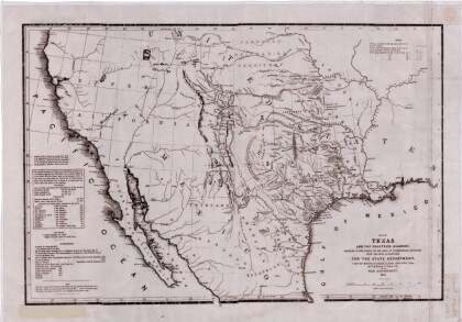
Texas: Conteniendo las concesiones y descubrimientos más recientes
Map of Texas containing the latest grants and discoveries in ...
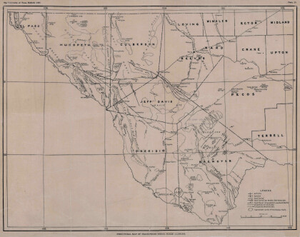
Mapa estructural de Pecos Texas
Map of the Trans-Pecos, Texas area; Outlines and lines are shown ...
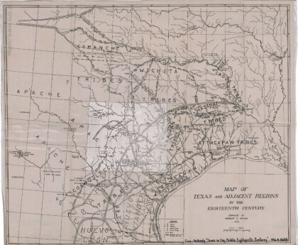
Mapa de Texas y regiones adyacentes en el siglo dieciocho
Map of Texas and the adjacent regions illustrating missions, ...
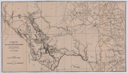
Mapa militar de la frontera del Río Grande
Military map of the Rio Grande frontier prepared from original ...
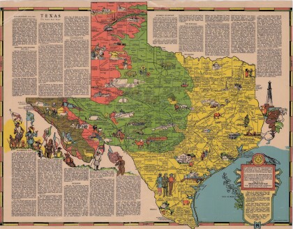
Texas el Estado de la Estrella Solitaria
Picturesque historical map of Texas with information on ...
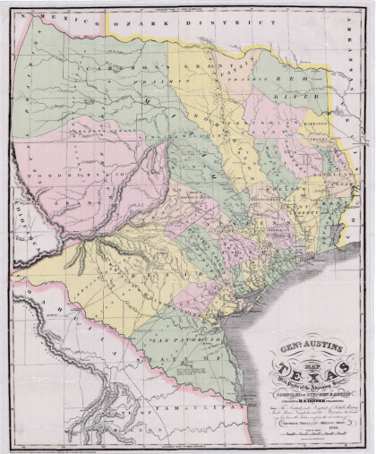
Mapa de Texas y partes de los estados colindantes por el General Austin
Colorful map of Texas highlighting the borders between states ...
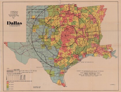
Dallas: Centro industrial y de distribución del suroeste
Colorful market and distribution map of the Southwest - Texas, ...
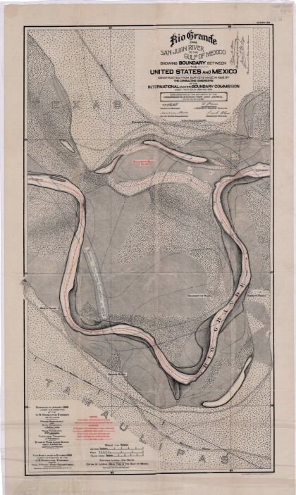
El Río Grande desde el Río San Juan hasta el Golfo de México
Map illustrates the Rio Grande from the San Juan River to the ...
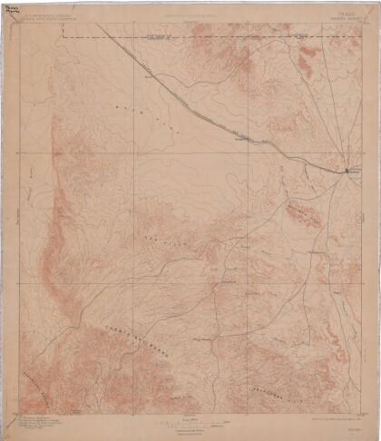
Mapa de reconocimiento de Marfa, Texas
This topographic USGS map sheet indicates Marfa's surrounding ...
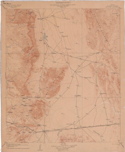
Topografía: la Universidad de Texas estudio de minerales
Topographic map of the Van Horn quadrangle in Texas. Indicates ...
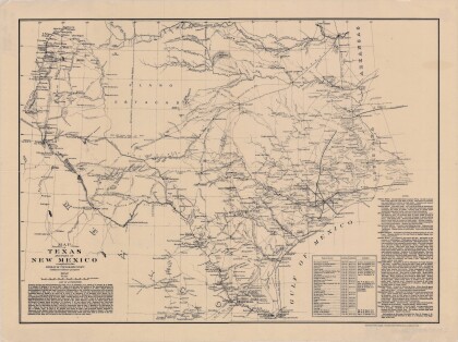
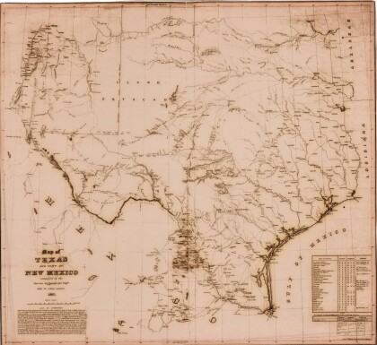
Mapa de Texas y parte de Nuevo México
Map of Texas and part of New Mexico compiled chiefly for ...
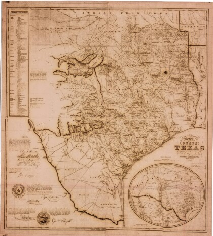
Estado de Texas por J. De Cordova
This geographical map of Texas was compiled from the records of ...
