El Paso Smelter and Railroad Bridge
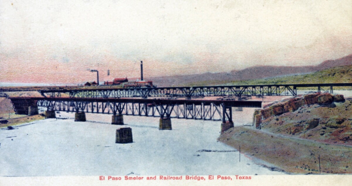
El Paso Smelter and Railroad Bridge

The postcard shows the El Paso railroad bridge in the beginning of the 20th century. To the right is the Mexican bank, to the left the U. S. bank. At that time, the Rio Grande carried a lot more water than it does today. Behind the bridge, some houses and the stacks of Smeltertown can be seen. Smeltertown was an industrial area, which came into being with the construction in 1887 of the Kansas City Consolidated Smelting and Refining Company (later the American Smelting and Refining Company, or ASARCO) copper and lead smelter. In the 1880s the Mexican employees of the smelter began building houses west of the smelter, beside the Rio Grande. The residents lived in very poor conditions, which was brought to attention in the 1940s. In the 1970s it was found out that the majority of the residents there were suffering from lead poisoning due to a huge amount of lead emission. As ASARCO was not prepared to modernize and improve, the residents were forced to move and the smelter closed down.

Área: Central / Smeltertown

Colección: Stansel Postcard Collection

Fuente: University of Texas at El Paso Library - Special Collections Department

ID de referencia: PH049-1-1-036

Cargado por: El Paso Museum of History

Comentarios

Hacer un comentario
Gracias por su comentario

Reportar esta entrada

Elige la razón más importante para este reporte

Tu nombre

Tu correo electrónico

Detalle opcional

Gracias por su reporte

Más sobre la misma comunidad-colección

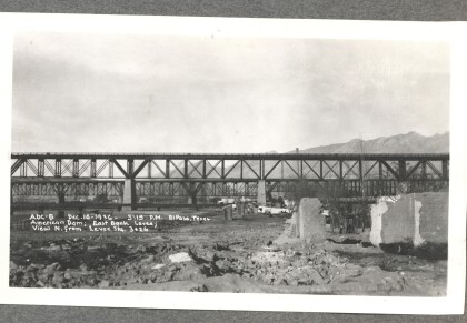
American Dam - East Bank Levee

American Dam - East Bank Levee; view north from Levee. Photo ...

American Canal

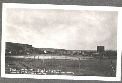
American Canal - View north (opposite Jones School); showing ...

American Canal

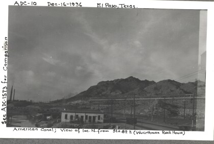
American Canal - View of location north (Wuerthman Rock House). ...

American Canal

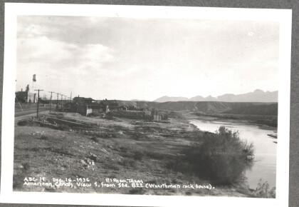
American Canal - View south (Wuerthman Rock House). Photo taken ...

American Canal

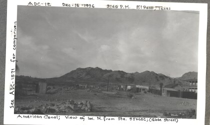
American Canal - View of location north (Globe Street). Photo ...

American Canal

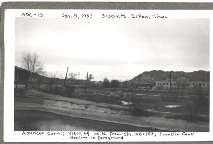
American Canal - View of location north. Franklin Canal Heading ...

American Canal

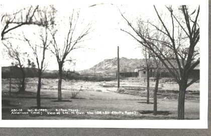
American Canal - View of location north (Hart's Road). Photo ...

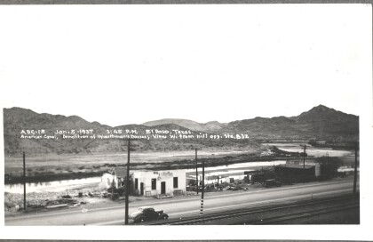
American Canal - Demolition of Wuerthman's houses

American Canal - Demolition of Wuerthman's houses; view west ...

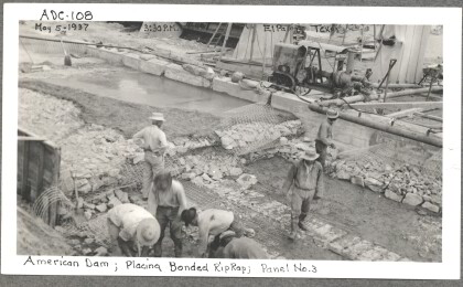
American Dam, 108

Workers on the American Dam project place bonded riprap. Riprap ...

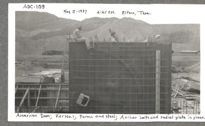
American Dam, 109

American Dam workers use forms and steel, anchor bolts and ...

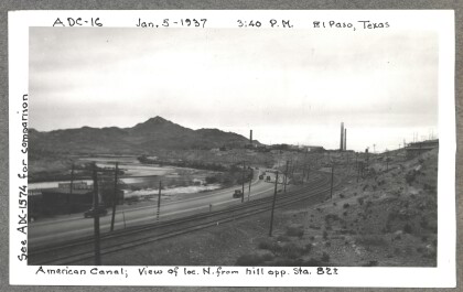
American Canal

American Canal - View of location north from hill. Photo taken ...

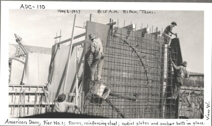
American Dam, 110

American Dam workers use reinforcing steel, anchor bolts and ...

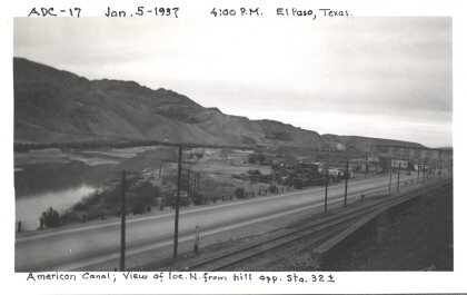
American Canal

American Canal - View of location north from hill. Photo taken ...

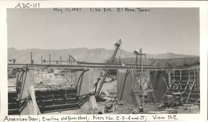
American Dam, 111

Piers two, three, four, and five of the American Dam begin to ...

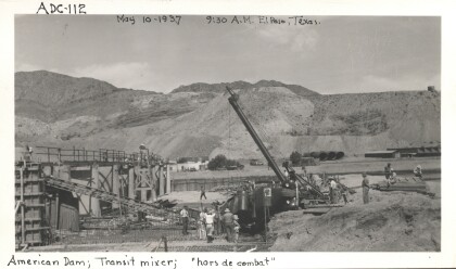
American Dam, 112

The transit mixer provides concrete for the American Dam.

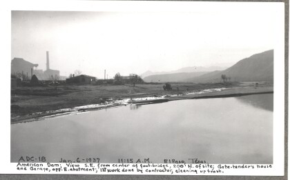
American Dam - first work done by contractor, cleaning up trash

American Dam - View southeast from center of foot-bridge; Gate ...

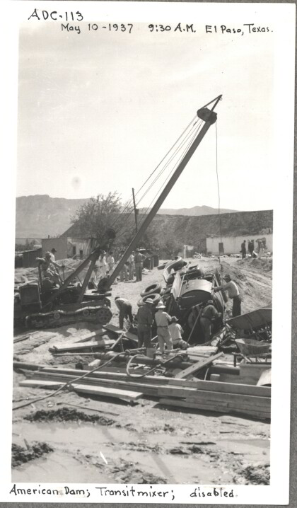
American Dam, 113

The transit mixer takes a tumble during the construction of the ...

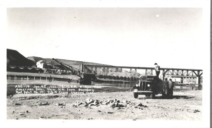
American Dam - Crane crossing river

American Dam - View northwest. Crane crossing river. Photo taken ...

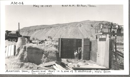
American Dam, 114

Forms and steel form the south end of the east abutment. Note ...

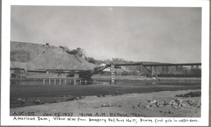
American Dam - Driving first pile in coffer-dam

American Dam - View northwest. Driving first pile in coffer-dam. ...
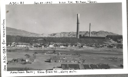
American Dam

American Dam - View from west, along axis. Photo taken on ...

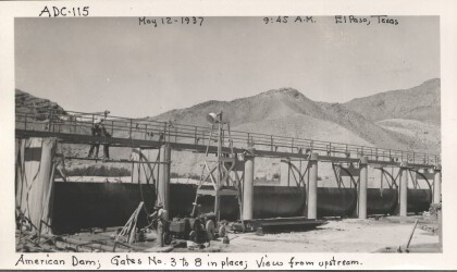
American Dam, 115

American Dam view from upstream with gates three through eight ...

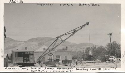
American Dam, 116

Breaking the concrete pavement over the east half of the highway ...

home.search_collection