IBWC VIII

IBWC VIII

IBWC VIII

IBWC VIII

IBWC VIII

IBWC VIII

IBWC VIII

IBWC VIII

IBWC VIII

IBWC VIII

IBWC VIII

IBWC VIII

IBWC VIII

IBWC VIII

IBWC VIII

IBWC VIII

IBWC VIII

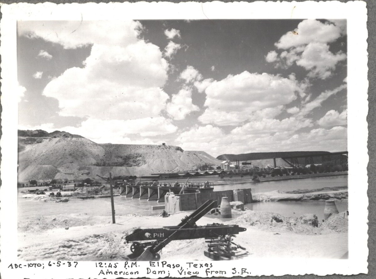
American Dam 1937

Note: 6-5-37, 12:45 pm, El Paso, Texas. American Dam; View from S.E. For centuries the Rio Grande River has been used as a source of irrigation water for agriculture in the El Paso – Juarez area. In 1889 the governments of the United States and Mexico established the International Boundary Commission (IBC), in 1944 renamed the International Boundary and Water Commission (IBWC). One of its early actions was to discuss delivery of Rio Grande water to Mexico. In 1906, the two countries agreed to deliver 60,000 acre-feet of water annually to Mexico at the main irrigation Canal in Ciudad Juarez, known as Acequia Madre. The canal's mouth is two miles downstream from the international border. The remainder of the water would be used by American farmers in the ninety-mile-long El Paso valley. In times of drought both Mexican and American shares would be reduced on a percentage basis. The system did not provide a way for the United States to allot Mexico its rightful portion and keep the rest. As a result, Mexico took its share first and channeled the remainder into the Franklin Canal for the farms in the El Paso valley. According to some American estimates this permitted Mexico to siphon off up to three times its portion of irrigation water. Responding in 1935, Congress authorized two diversionary projects, the American Dam and the American Canal. The dam caught the water in New Mexico short of the international border, measured Mexico's share and allowed it to continue to the Acequia Madre, and diverted everything else into the American Canal, a two-mile feeder leading to the Franklin Canal. The American Canal parallels West Paisano Drive (US Highway 85) and the Burlington Northern Santa Fe Railroad track. The project has proved a successful solution to the problem of dividing the waters. Sources: http://www.tshaonline.org/handbook/online/articles/rua03 http://www.ibwc.gov/Files/EnvironmentalAssessment.pdf

Área: Central / Smeltertown

Fuente: IBWC

Cargado por: El Paso Museum of History

Comentarios

Hacer un comentario
Gracias por su comentario

American Dam 1937

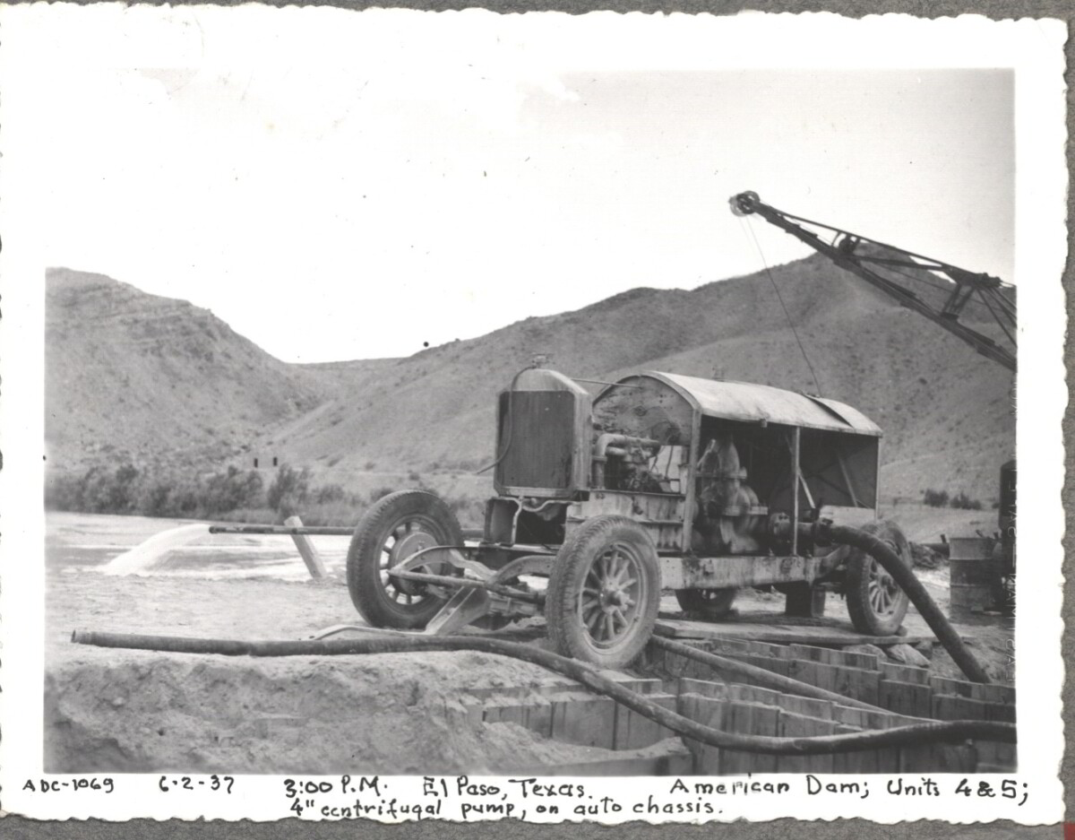
Note: 6-2-37, 3:00pm. El Paso, Texas American Dam; units 4&5; 4" centrifugal pump, on auto chassis. For centuries the Rio Grande River has been used as a source of irrigation water for agriculture in the El Paso – Juarez area. In 1889 the governments of the United States and Mexico established the International Boundary Commission (IBC), in 1944 renamed the International Boundary and Water Commission (IBWC). One of its early actions was to discuss delivery of Rio Grande water to Mexico. In 1906, the two countries agreed to deliver 60,000 acre-feet of water annually to Mexico at the main irrigation Canal in Ciudad Juarez, known as Acequia Madre. The canal's mouth is two miles downstream from the international border. The remainder of the water would be used by American farmers in the ninety-mile-long El Paso valley. In times of drought both Mexican and American shares would be reduced on a percentage basis. The system did not provide a way for the United States to allot Mexico its rightful portion and keep the rest. As a result, Mexico took its share first and channeled the remainder into the Franklin Canal for the farms in the El Paso valley. According to some American estimates this permitted Mexico to siphon off up to three times its portion of irrigation water. Responding in 1935, Congress authorized two diversionary projects, the American Dam and the American Canal. The dam caught the water in New Mexico short of the international border, measured Mexico's share and allowed it to continue to the Acequia Madre, and diverted everything else into the American Canal, a two-mile feeder leading to the Franklin Canal. The American Canal parallels West Paisano Drive (US Highway 85) and the Burlington Northern Santa Fe Railroad track. The project has proved a successful solution to the problem of dividing the waters. Sources: http://www.tshaonline.org/handbook/online/articles/rua03 http://www.ibwc.gov/Files/EnvironmentalAssessment.pdf

Área: Central / Smeltertown

Fuente: IBWC

Cargado por: El Paso Museum of History

Comentarios

Hacer un comentario
Gracias por su comentario

American Dam 1937

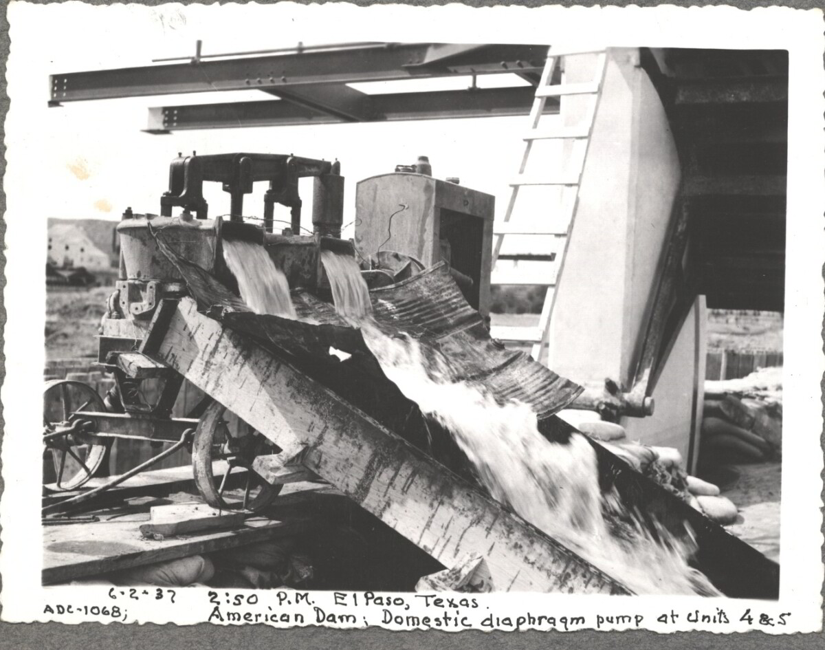
6-2-37, 2:50pm, El Paso, Texas. American Dam; Domestic diaphraqm pump at units 4&5 For centuries the Rio Grande River has been used as a source of irrigation water for agriculture in the El Paso – Juarez area. In 1889 the governments of the United States and Mexico established the International Boundary Commission (IBC), in 1944 renamed the International Boundary and Water Commission (IBWC). One of its early actions was to discuss delivery of Rio Grande water to Mexico. In 1906, the two countries agreed to deliver 60,000 acre-feet of water annually to Mexico at the main irrigation Canal in Ciudad Juarez, known as Acequia Madre. The canal's mouth is two miles downstream from the international border. The remainder of the water would be used by American farmers in the ninety-mile-long El Paso valley. In times of drought both Mexican and American shares would be reduced on a percentage basis. The system did not provide a way for the United States to allot Mexico its rightful portion and keep the rest. As a result, Mexico took its share first and channeled the remainder into the Franklin Canal for the farms in the El Paso valley. According to some American estimates this permitted Mexico to siphon off up to three times its portion of irrigation water. Responding in 1935, Congress authorized two diversionary projects, the American Dam and the American Canal. The dam caught the water in New Mexico short of the international border, measured Mexico's share and allowed it to continue to the Acequia Madre, and diverted everything else into the American Canal, a two-mile feeder leading to the Franklin Canal. The American Canal parallels West Paisano Drive (US Highway 85) and the Burlington Northern Santa Fe Railroad track. The project has proved a successful solution to the problem of dividing the waters. Sources: http://www.tshaonline.org/handbook/online/articles/rua03 http://www.ibwc.gov/Files/EnvironmentalAssessment.pdf

Área: Central / Smeltertown

Fuente: IBWC

Cargado por: El Paso Museum of History

Comentarios

Hacer un comentario
Gracias por su comentario

American Canal

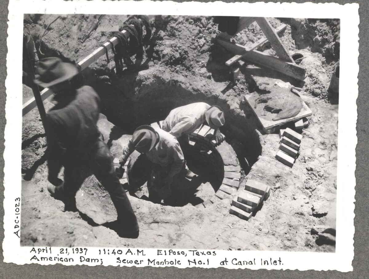
April 19 1937, American Dam sewer manhole construction at No.1 canal inlet.

Área: Central / Smeltertown

Fuente: IBWC

Cargado por: El Paso Museum of History

Comentarios

Hacer un comentario
Gracias por su comentario

American Canal

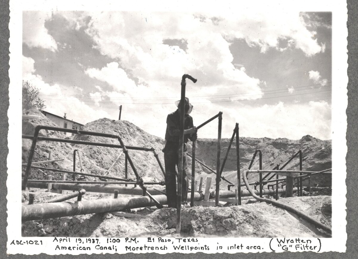
April 19 1937, More Trench at well point, inlet area American Canal

Área: Central / Smeltertown

Fuente: IBWC

Cargado por: El Paso Museum of History

Comentarios

Hacer un comentario
Gracias por su comentario

Internatinal Boundary & Water Commission

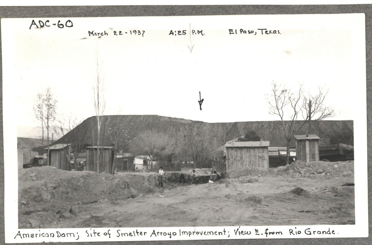
American Dam, site of smelter from Arroyo improvement; view E. of Rio Grande. March 22, 1937 at 4:25 p.m. El paso, Texas

Área: Central / Smeltertown

Fuente: IBWC

Cargado por: El Paso Museum of History

Comentarios

Hacer un comentario
Gracias por su comentario

Internatinal Boundary & Water Commission

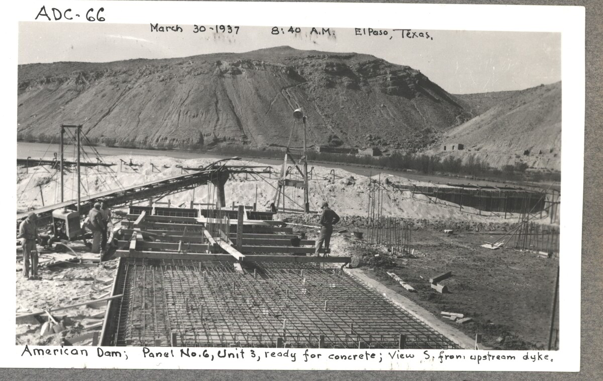
American Dam; panel No.6 , unit 3, ready for concrete view S. from , upstream dyke. March 30, 1937 at 8:40 a.m El paso, Texas.

Área: Central / Smeltertown

Fuente: IBWC

Cargado por: El Paso Museum of History

Comentarios

Hacer un comentario
Gracias por su comentario

Internatinal Boundary & Water Commission

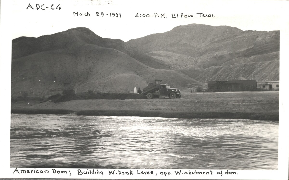
American Dam; building W. bank levee opp, W. abutment of Dom. March 29, 1937 at 4:00 p.m. El Paso, Texas.

Área: Central / Smeltertown

Fuente: IBWC

Cargado por: El Paso Museum of History

Comentarios

Hacer un comentario
Gracias por su comentario

Internatinal Boundary & Water Commission

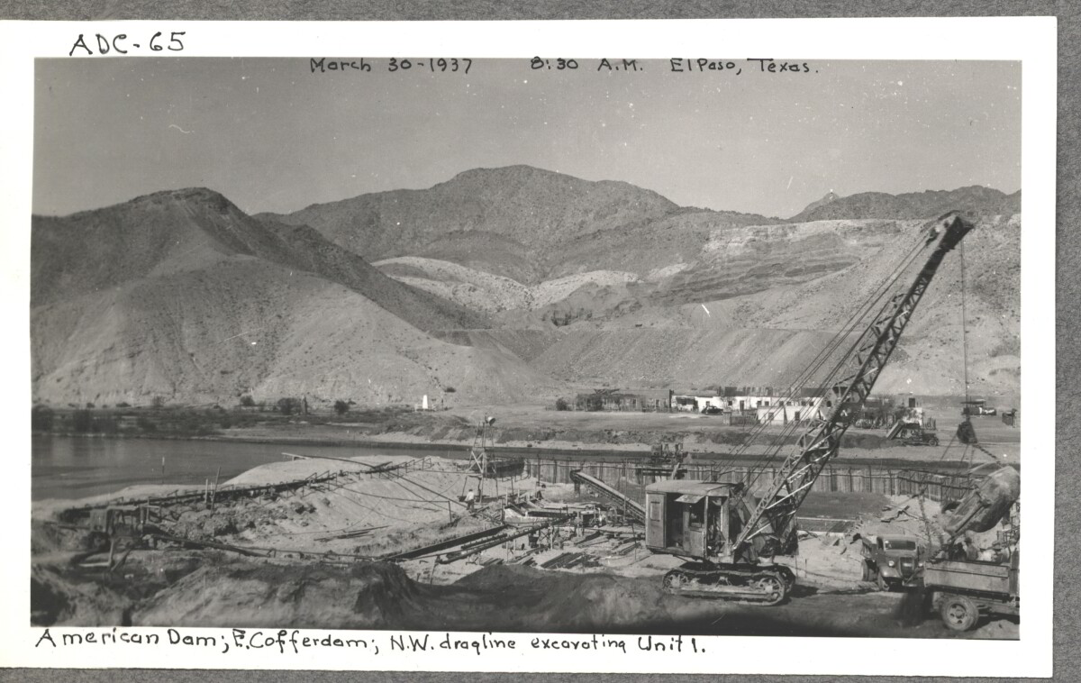
American Dam; E. cofferdam. N. W. draqline ex carting unit 1. March 30,1937 at 8:30 a.m. El paso, Texas.

Área: Central / Smeltertown

Fuente: IBWC

Cargado por: El Paso Museum of History

Comentarios

Hacer un comentario
Gracias por su comentario

Internatinal Boundary & Water Commission

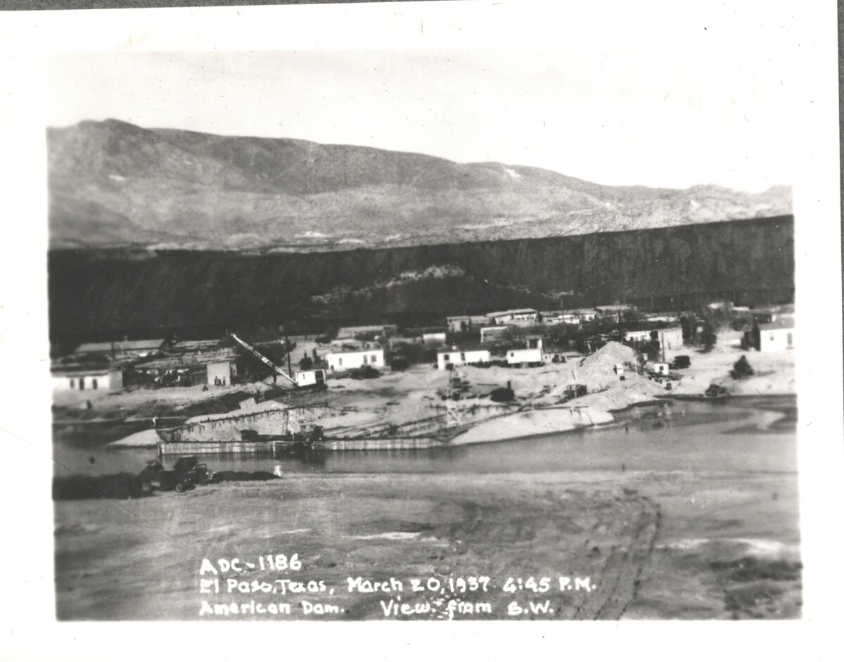
American Dam; view from S. W. El Paso, Texas March 20, 1937 at 4:45 p.m.

Área: Central / Smeltertown

Fuente: IBWC

Cargado por: El Paso Museum of History

Comentarios

Hacer un comentario
Gracias por su comentario

Internatinal Boundary & Water Commission

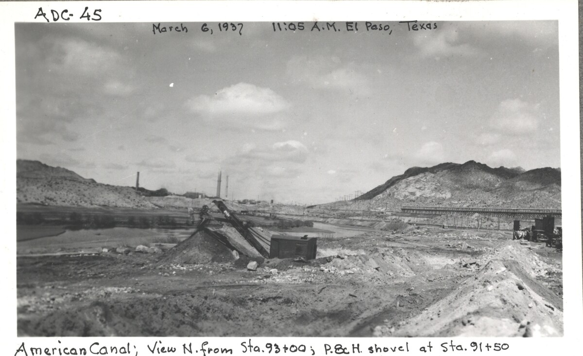
American canal; view N. from Sta. 93+00 ; p.8c H. shovel at Sta. 91+50

Área: Central / Smeltertown

Fuente: IBWC

Cargado por: El Paso Museum of History

Comentarios

Hacer un comentario
Gracias por su comentario

Internatinal Boundary & Water Commission

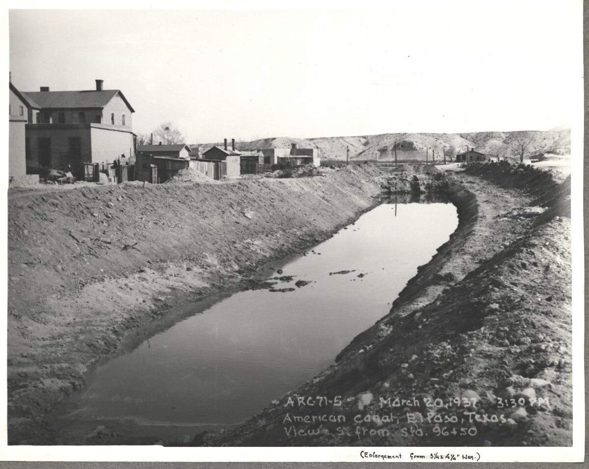
American Canal; El paso, Texas View S. Sta. 96+50. March 20, 1937 at 3:30p.m.

Fuente: IBWC

Cargado por: El Paso Museum of History

Comentarios

Hacer un comentario
Gracias por su comentario

Internatinal Boundary & Water Commission - El Paso, Texas

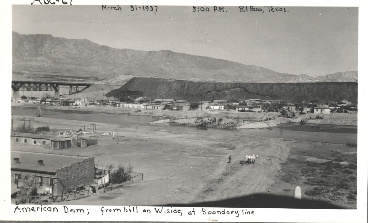
American Dam; view from hill on west side, at boundary line. El Paso, Texas March 31,1937 El Paso, Texas at 3:00 p.m.

Área: Central / Smeltertown

Fuente: IBWC

Cargado por: El Paso Museum of History

Comentarios

Hacer un comentario
Gracias por su comentario

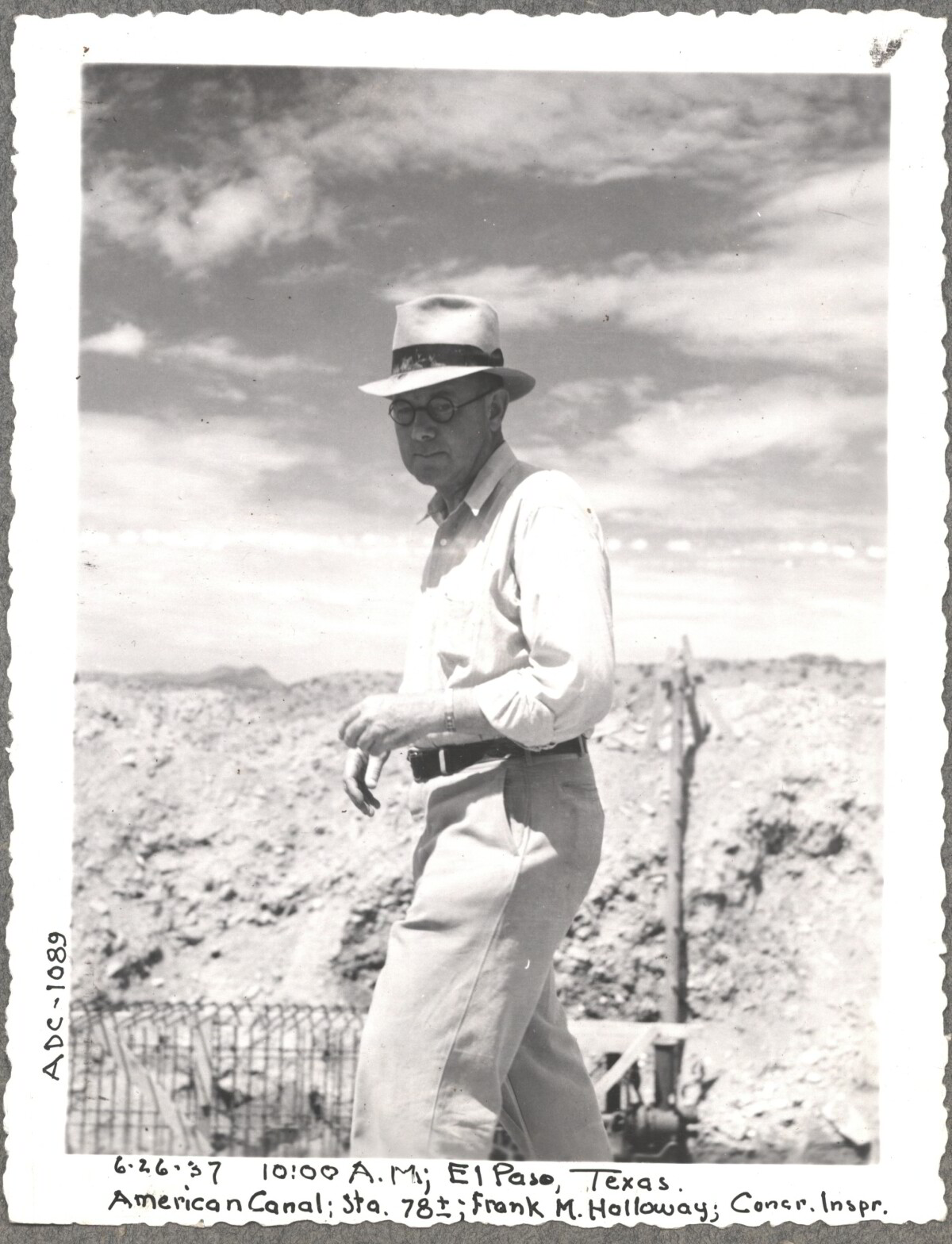
Construction of American Canal, 1937

Note: 6-26-37, 10:00am, El Paso, Texas. American Canal; Sta. 78; Frank M. Holloway, Cocr. Inspr. For centuries the Rio Grande River has been used as a source of irrigation water for agriculture in the El Paso – Juarez area. In 1889 the governments of the United States and Mexico established the International Boundary Commission (IBC), in 1944 renamed the International Boundary and Water Commission (IBWC). One of its early actions was to discuss delivery of Rio Grande water to Mexico. In 1906, the two countries agreed to deliver 60,000 acre-feet of water annually to Mexico at the main irrigation Canal in Ciudad Juarez, known as Acequia Madre. The canal's mouth is two miles downstream from the international border. The remainder of the water would be used by American farmers in the ninety-mile-long El Paso valley. In times of drought both Mexican and American shares would be reduced on a percentage basis. The system did not provide a way for the United States to allot Mexico its rightful portion and keep the rest. As a result, Mexico took its share first and channeled the remainder into the Franklin Canal for the farms in the El Paso valley. According to some American estimates this permitted Mexico to siphon off up to three times its portion of irrigation water. Responding in 1935, Congress authorized two diversionary projects, the American Dam and the American Canal. The dam caught the water in New Mexico short of the international border, measured Mexico's share and allowed it to continue to the Acequia Madre, and diverted everything else into the American Canal, a two-mile feeder leading to the Franklin Canal. The American Canal parallels West Paisano Drive (US Highway 85) and the Burlington Northern Santa Fe Railroad track. The project has proved a successful solution to the problem of dividing the waters. Sources: http://www.tshaonline.org/handbook/online/articles/rua03 http://www.ibwc.gov/Files/EnvironmentalAssessment.pdf

Área: Central / Smeltertown

Fuente: IBWC

Cargado por: El Paso Museum of History

Comentarios

Hacer un comentario
Gracias por su comentario

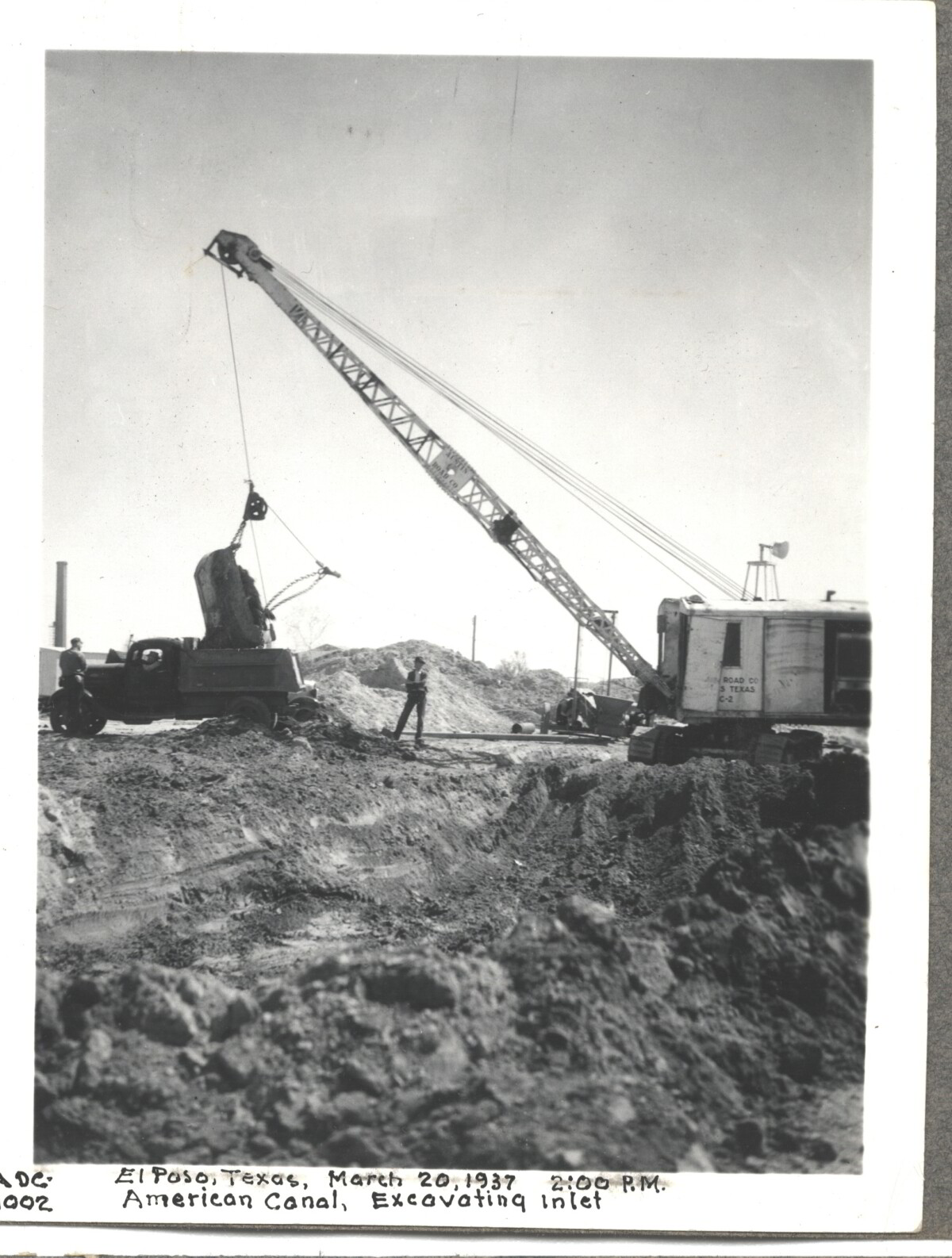
Internatinal Boundary & Water Commission

American Canal; Excavatina inlet; El Paso, Texas March 20, 1937 at 2:00 p.m.

Área: Central / Smeltertown

Fuente: IBWC

Cargado por: El Paso Museum of History

Comentarios

Hacer un comentario
Gracias por su comentario

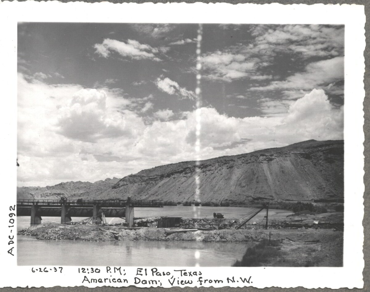
Construction of American Dam, 1937

Note: 6-26-37, 12:30 pm, El Paso Texas. American Dam, View from N.W. For centuries the Rio Grande River has been used as a source of irrigation water for agriculture in the El Paso – Juarez area. In 1889 the governments of the United States and Mexico established the International Boundary Commission (IBC), in 1944 renamed the International Boundary and Water Commission (IBWC). One of its early actions was to discuss delivery of Rio Grande water to Mexico. In 1906, the two countries agreed to deliver 60,000 acre-feet of water annually to Mexico at the main irrigation Canal in Ciudad Juarez, known as Acequia Madre. The canal's mouth is two miles downstream from the international border. The remainder of the water would be used by American farmers in the ninety-mile-long El Paso valley. In times of drought both Mexican and American shares would be reduced on a percentage basis. The system did not provide a way for the United States to allot Mexico its rightful portion and keep the rest. As a result, Mexico took its share first and channeled the remainder into the Franklin Canal for the farms in the El Paso valley. According to some American estimates this permitted Mexico to siphon off up to three times its portion of irrigation water. Responding in 1935, Congress authorized two diversionary projects, the American Dam and the American Canal. The dam caught the water in New Mexico short of the international border, measured Mexico's share and allowed it to continue to the Acequia Madre, and diverted everything else into the American Canal, a two-mile feeder leading to the Franklin Canal. The American Canal parallels West Paisano Drive (US Highway 85) and the Burlington Northern Santa Fe Railroad track. The project has proved a successful solution to the problem of dividing the waters. Sources: http://www.tshaonline.org/handbook/online/articles/rua03 http://www.ibwc.gov/Files/EnvironmentalAssessment.pdf

Área: Central / Smeltertown

Fuente: IBWC

Cargado por: El Paso Museum of History

Comentarios

Hacer un comentario
Gracias por su comentario

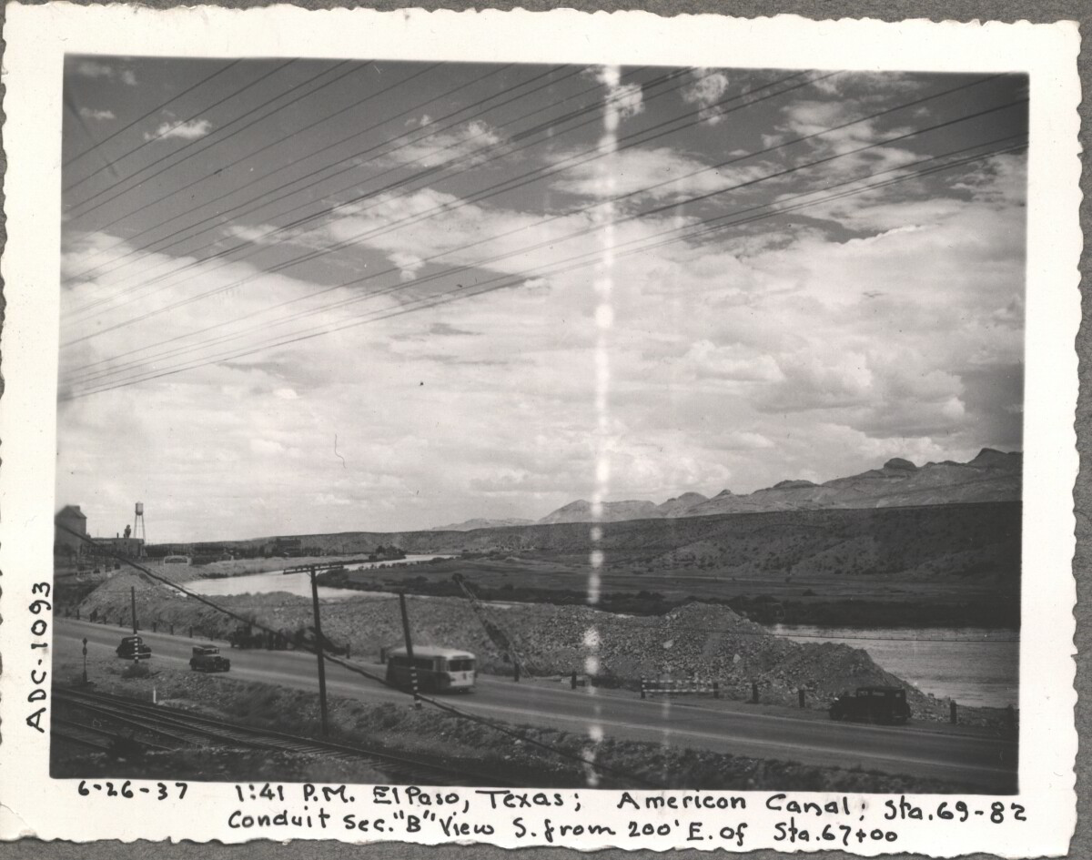
American Canal, 1937

Note: 6-26-37, 1:41pm, El Paso, Texas; American Canal; sta. 69-82 Conduit sec. "B" View S. from 200' E. of Sta. 67+00 For centuries the Rio Grande River has been used as a source of irrigation water for agriculture in the El Paso – Juarez area. In 1889 the governments of the United States and Mexico established the International Boundary Commission (IBC), in 1944 renamed the International Boundary and Water Commission (IBWC). One of its early actions was to discuss delivery of Rio Grande water to Mexico. In 1906, the two countries agreed to deliver 60,000 acre-feet of water annually to Mexico at the main irrigation Canal in Ciudad Juarez, known as Acequia Madre. The canal's mouth is two miles downstream from the international border. The remainder of the water would be used by American farmers in the ninety-mile-long El Paso valley. In times of drought both Mexican and American shares would be reduced on a percentage basis. The system did not provide a way for the United States to allot Mexico its rightful portion and keep the rest. As a result, Mexico took its share first and channeled the remainder into the Franklin Canal for the farms in the El Paso valley. According to some American estimates this permitted Mexico to siphon off up to three times its portion of irrigation water. Responding in 1935, Congress authorized two diversionary projects, the American Dam and the American Canal. The dam caught the water in New Mexico short of the international border, measured Mexico's share and allowed it to continue to the Acequia Madre, and diverted everything else into the American Canal, a two-mile feeder leading to the Franklin Canal. The American Canal parallels West Paisano Drive (US Highway 85) and the Burlington Northern Santa Fe Railroad track. The project has proved a successful solution to the problem of dividing the waters. Sources: http://www.tshaonline.org/handbook/online/articles/rua03 http://www.ibwc.gov/Files/EnvironmentalAssessment.pdf

Área: Central / Smeltertown

Fuente: IBWC

Cargado por: El Paso Museum of History

Comentarios

Hacer un comentario
Gracias por su comentario

Reportar esta entrada

Elige la razón más importante para este reporte

Tu nombre

Tu correo electrónico

Detalle opcional

Gracias por su reporte

Más sobre la misma comunidad-colección

Fray Garcia de San Francisco - El Paso, Tejas

Fray Garcia De San Francisco - El Paso, Texas - " The Mission ...

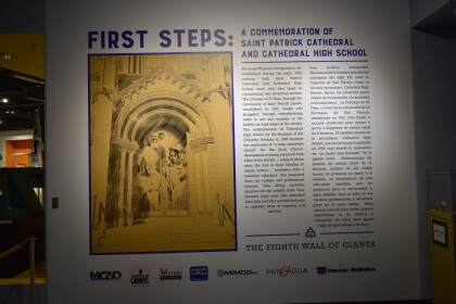
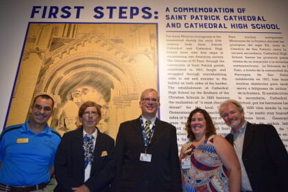
Primeros Pasos Octavo Muro de Gigantes - El Paso, Texas

El Paso’s Eighth Wall of Giants First Steps: A Commemoration ...

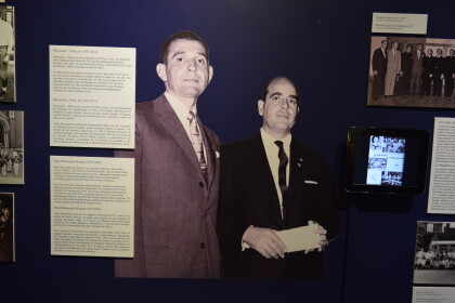
Raymond Telles y Rene Miranda

Raymond L. Telles, Jr. (1915-2013) Raymond L. Telles, was ...

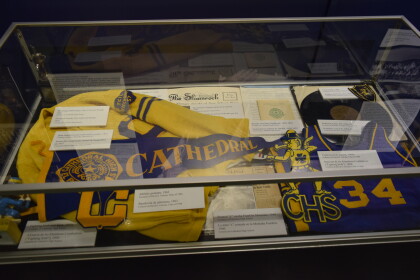
Recuerdos atléticos y de la banda de CHS - El Paso, Texas

Cathedral High School Band and Athletic mementos. 2017

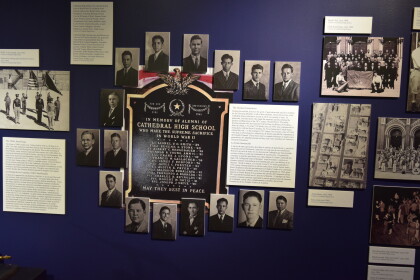
Memorial de la Segunda Guerra Mundial - El Paso, Tejas

The Greatest Generation During this exhibit, discover the ...

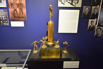
Campeonato Estatal - El Paso, Tejas

State Baskeball Championship Trophy 1937-1939

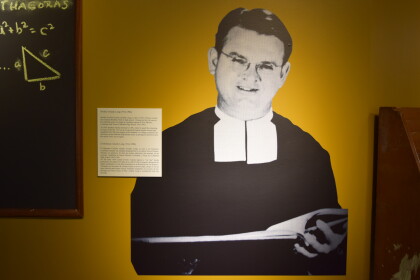
Hermano Amedy Long - El Pas, Tejas

Brother Amedy Long (1914-1984) Brother Cecilian Amedy (Joseph ...

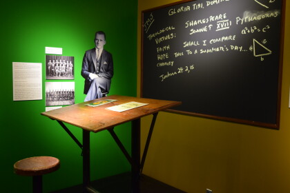
Materiales de Escuela - El Paso, Tejas

Textbook Covers, 1960s and 1988 and Drafting Table 1930.The ...

Uniformes de Escuela - El Paso, Tejas

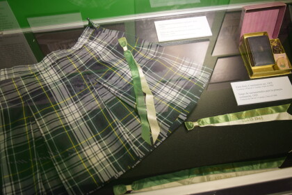
Saint Patrick Elementary uniform skirt 1990s, First Holy ...

Linea de Tiempo - El Paso, Tejas

Timeline for the Eighth Wall of Giants at the El Paso Museum of ...

William H. Fryer - El Paso, Tejas

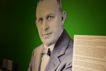
William H. Fryer, AFSC (Affiliated Member of the Brother of the ...

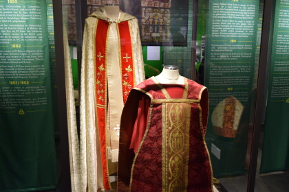
Breviario de sacerdote y Alba - El Paso, Tejas

Priest Breviary, 1930s and Alb worn during the Cristero War when ...

Vestimentos del Obispo Anthony Schuler - El Paso, Tejas

Bishop Anthony Schuler’s Vestments (chasuble, mitre, cincture, ...

Santa Rita de Cascia - El Paso, Tejas

Original statue of Saint Rita of Cascia, Early 1920s

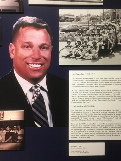
Leo Cancellare - El Paso, Tejas

Leo Cancellare (1958-1999) Leo Cancellare was a graduate of ...

Ceremonia de la exposición First Steps (primeros pasos) - 2017 - El Paso, Texas

First Steps Exhibit Ribbon Cutting Ceremony - 2017 - El Paso, ...

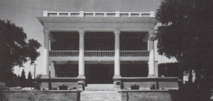
The Turner Home - El Paso, Texas

El Paso Medical Museum - 1301 Montana Avenue • El Paso, Texas ...

Little Bit of Heaven - El Paso, Texas

Enjoying a night out at the popular country themed bar Little ...

Scenic Drive At Night - El Paso, Texas

The beautiful lights of El Paso at night.

Cats I got not too long ago

Some cats that were gifted before this college semester began

Staying Up Late - El Paso, Texas

Messy hair - staying up late trying to finish home work for ...

USA vs. Mexico

My dad with his friends at a USA vs. Mexico soccer game.

Getting Ready For Deployment - 2014

Picture of me( SFC Morin) - ready for deployment in the year ...
home.search_collection