Content tagged as
1 - 24 of 91 Search results
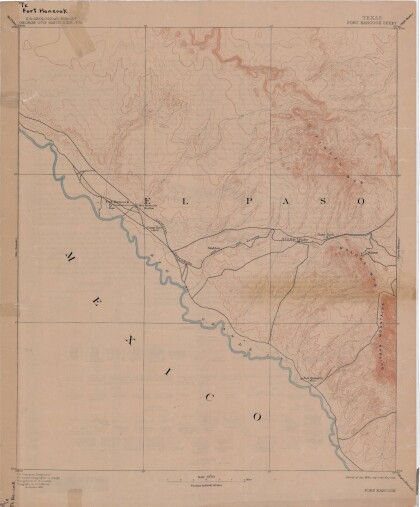
Map of Fort Hancock, Texas circa 1915
Topographical map indicating the location of Fort Hancock and ...
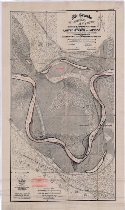
Rio Grande from San Juan River to the Gulf of Mexico
Map illustrates the Rio Grande from the San Juan River to the ...
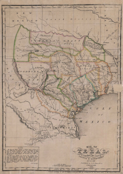
Texas: Containing the Latest Grants and Discoveries
Map of Texas containing the latest grants and discoveries in ...
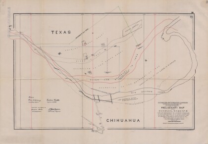
Preliminary Map in the Chamizal Case No. 4
Map compiled from Boundary Commission maps of 1852, from County ...
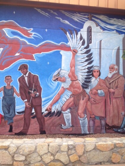
Mural at Chamizal National Memorial
The mural can be seen at Chamizal National Memorial. It is ...
Mural at Chamizal National Memorial
The mural can be seen at Chamizal National Memorial. It is ...
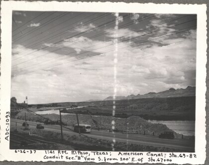
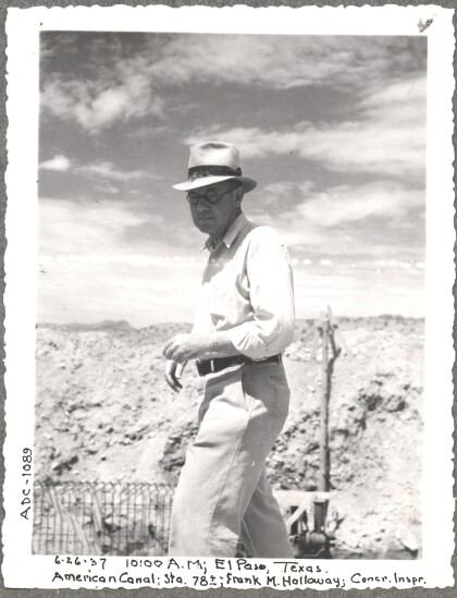
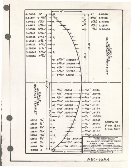
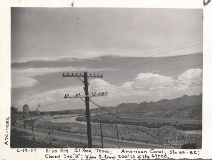
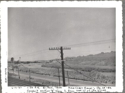
Construction of American Canal, 1937
Note: 6-26-37, 10:00am, El Paso, Texas. American Canal; Sta. ...
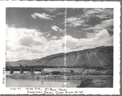
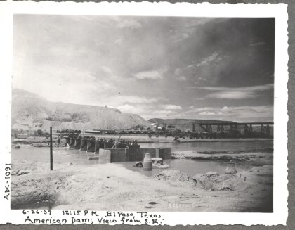
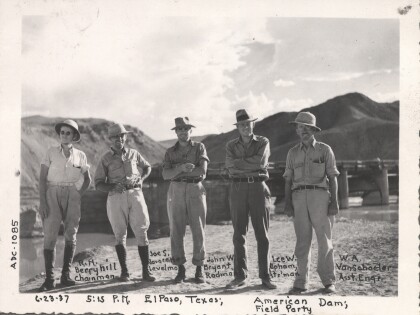
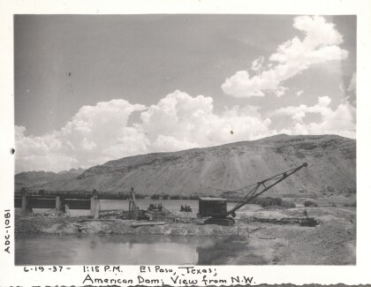
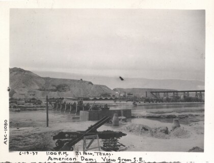
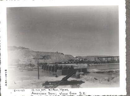
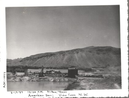
Construction of American Dam, 1937
Note: 6-26-37, 12:15 pm, El Paso, Texas; American Dam; View from ...
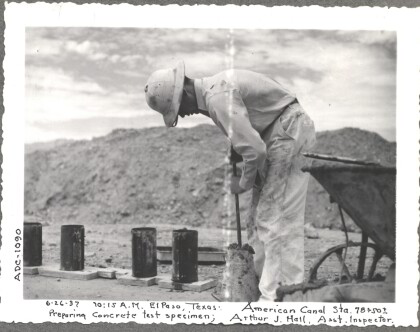
Construction of American Canal, 1937
Note: 6-26-37, 10:15am, El Paso, Texas. American Canal; sta. ...
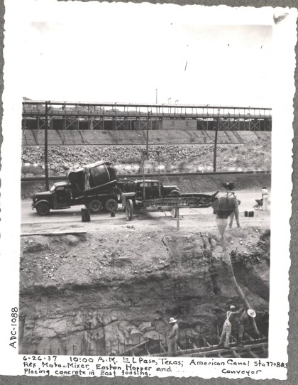
Construction of American Canal, 1937
Note: 6-26-37, 10:00am, El Paso, Texas; American Canal, sta. ...
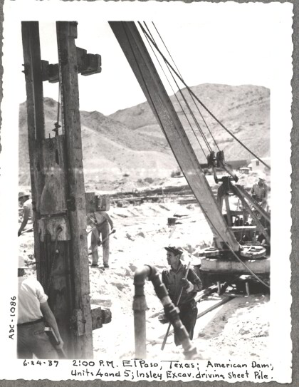
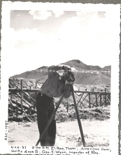
Construction of American Dam, 1937
Note: 6-24-37, 2:00pm, El Paso, Texas. American Dam; Units 4 and ...
Load more
