Orand's Cafe

Orand's Cafe

Orand's Cafe

2901 Alameda Ave

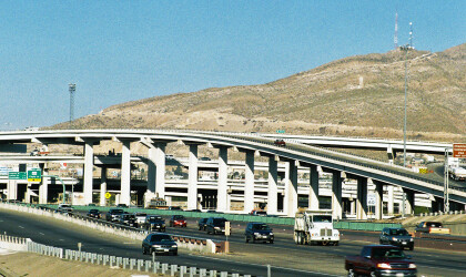
In 1956, congress passed the Federal-Aid Highway Act and created a vast interstate highway network across the country. It encompassed a 41,000 system that connected populations of more than 100,000 residents. Completed in the 1990’s and at a cost of a hundred billion dollars, it profoundly changed the landscape of America and how citizens travel and conduct business.

Interstate 10 was one of the largest interstate highways built with a length of 2,500 miles. It spans from Jacksonville, Florida to Santa Monica, California. Interstate 10 made its way through El Paso in the early 1960’s. Much of the interstate would cut through existing El Paso neighborhoods such as Lincoln Park, Rio Grande, Downtown and Sunset Heights. Large parcels of land were bought out and families left their homes. Much of this demolition happened in El Paso’s then Eastside which included Lincoln Park Neighborhood, the epicenter for El Paso’s African American community. A large amount of homes and businesses were lost despite a nationwide protest to save these communities from erasure and possible health hazards coming from construction and automobiles.

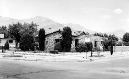
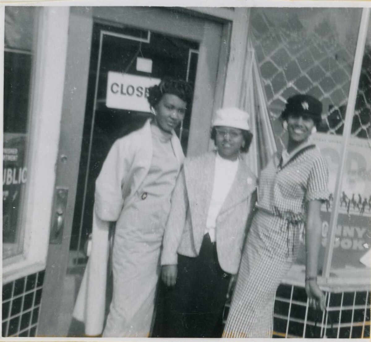
Although the site of Orand's Cafe was not physically affected by the construction of I-10, the nearby neighborhood demolition and resulting loss of community contributed to its eventual closure. The site of the building still stands today and is located around the corner from Estine Eastside Barbershop.

Creator: Micheal and Estine Davis

Area: Central / Five Points

Uploaded by: El Paso Museum of History

Comments

Add a comment
Thank you for your comment

Report this entry

Choose the most important reason for this report

Your name

Your email address

Optional detail

Thank you for your report

More from the same community-collection

Concordia Cemetery and Spaghetti Bowl

The picture shows the "Spaghetti Bowl", the crossing ...

African Methodist Church

The picture shows the African Methodist Church building in El ...

concordia cementery

concordia cementery

concordia cementery

concordia cementery

concordia cementery

concordia cementery

concordia cementery

concordia cementery

Buffalo Soldier Memorial

The memorial has 42 engraved granite markers and hundreds of ...

"The Spaghetti Bowl"

The picture shows the intersection of freeways on the Eastside, ...

Reenactment of J. W. Hardin

In this picture, Curtis Flynn portrays John Wesley Hardin for ...

Concordia Cemetery

The cemetery had its beginnings as a ranch settled by pioneer ...

John Wesley Hardin’s Grave Site

The picture shows the grave site of the gunfighter John Wesley ...

John Wesley Hardin's Grave Site

The image shows the top of John Wesley Hardin's grave site ...

Concordia's Chinese Cemetery

The picture shows graves at Concordia's Chinese Cemetery. ...

Reenactment of J. W. Hardin

In this picture, Curtis Flynn portrays John Wesley Hardin for ...

J. J. Armes

J.J. Armes in his office.

J. J. Armes

Helping others--J. J. Armes helping others.

J. J. Armes

Helping others--J. J. Armes helping others.

J. J. Armes

J. J. Armes in his office.

McCall Neighborhood Center, El Paso, TX, circa 1985

The McCall Neighborhood Center was the home of Marshall McCall ...
McCall Day Center board

The image shows the McCall Day Center board in the 1940s. ...

Star along Grant Ave

Wanting pictures of the mountain’s star with Christmas lights ...

Star from Grant Ave

Wanting pictures of the mountain’s star with Christmas lights ...

What a view

A look at the Franklin Mountains from 100' above I-10 and ...

home.search_collection