Mapping Inequality & Reclaiming Place – Demolition of a Neighborhood

Mapping Inequality & Reclaiming Place – Demolition of a Neighborhood
In 1956, congress passed the Federal-Aid Highway Act and created a vast interstate highway network across the country. It encompassed a 41,000 system that connected populations of more than 100,000 residents. Completed in the 1990’s and at a cost of a hundred billion dollars, it profoundly changed the landscape of America and how citizens travel and conduct business.
Interstate 10 was one of the largest interstate highways built with a length of 2,500 miles. It spans from Jacksonville, Florida to Santa Monica, California. Interstate 10 made its way through El Paso in the early 1960’s. Much of the interstate would cut through existing El Paso neighborhoods such as Lincoln Park, Rio Grande, Downtown and Sunset Heights. Large parcels of land were bought out and families left their homes. Much of this demolition happened in El Paso’s then Eastside which included Lincoln Park Neighborhood, the epicenter for El Paso’s African American community. A large amount of homes and businesses were lost despite a nationwide protest to save these communities from erasure and possible health hazards coming from construction and automobiles.
This map from the “Mapping Inequality” project documents redlining in El Paso. Dating back to the 1930s, redlining was a widespread, discriminatory practice that started during the New Deal-era when the United States government began offering government-insured mortgages to prevent mass foreclosures during the Great Depression. As the program grew, the government began adding qualifications to who could qualify for these mortgages based on the value and location of homes. Color-coded maps were used to evaluate the risk associated with the loan and, across the United States, Black and other non-white neighborhoods were consistently deemed high risk and circled with a red line. By labeling these areas high risk, banks and other mortgage agencies were able to deny loans to people of color. Though redlining was ultimately deemed illegal under the Fair Housing Act of 1968, its effects are still felt today. Redlining inhibited families from upward economic mobility during an era of unprecedented economic growth post-WWII and also restricted movement within cities.
As a result, the majority of El Paso’s historic Black homes and businesses are located within these redlined areas. A current list of identified locations is available here on Google Maps: https://maps.app.goo.gl/4DW2ao2WTipU58G27
This object is currently on view in the El Paso Museum of History's newest exhibition Still We Rise: El Paso's Black Experience on view until January 2024.
Report this entry
More from the same community-collection
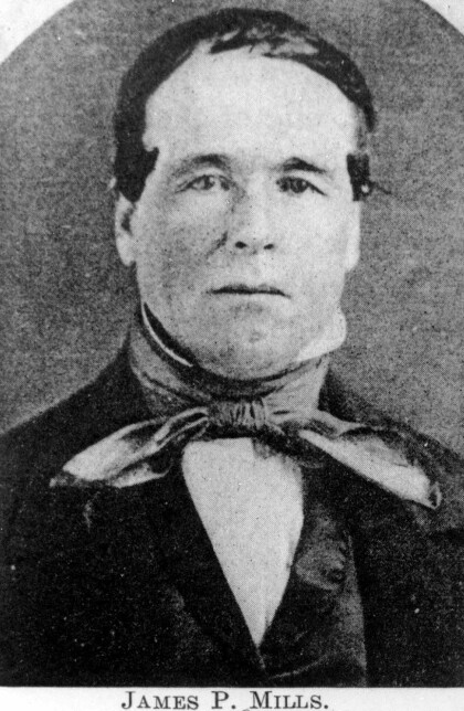
James P. Mills, father of Anson Mills
James P. Mills was born in 1808 in Pennsylvania. He became an ...
Ben Williams - El Paso Lawman - El Paso, Texas
Ben Williams operated the Ben Williams Detective Agency in El ...
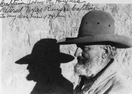
Capt. John Hughes-Texas Ranger - El Paso, Texas
In 1886 several horses were stolen from his and neighboring ...
Maud Austion Crouse,El Paso Texas circa 1915
Maud Austion was the wife of Hugh Crouse, a doctor in El Paso, ...
Louise Austin - Mrs. James S. Marr
Wife of Col. James Marr, who was the founder of El Paso Transfer ...
Jose Antonio Escajeda - San Elizario, TX
José Antonio Escajeda was part of an early El Paso pioneer ...
Florence Vilas, Ada Lyons, Kate McGhee - El Paso, Texas
From left to right: Florence Vilas, Ada Lyons, and Kate McGee. ...
