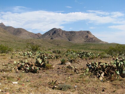
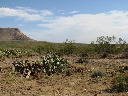
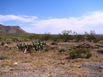
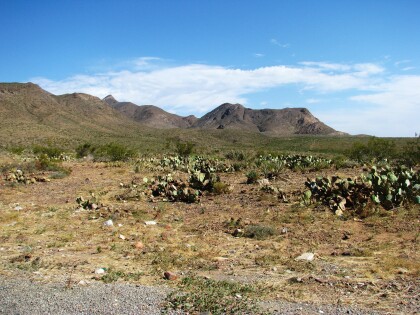
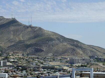
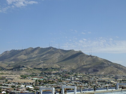
Post Card Franklin Mountains
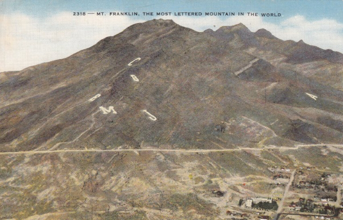
Post Card Franklin Mountains
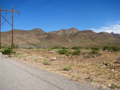
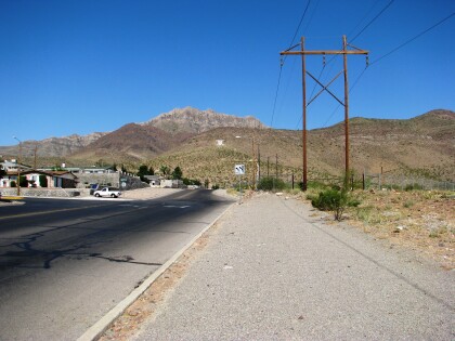
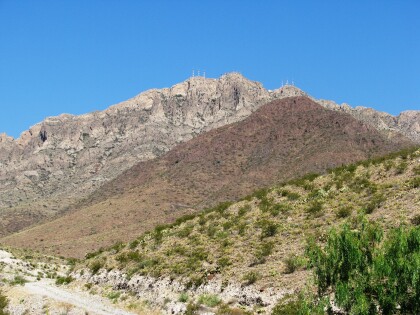
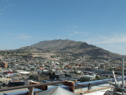
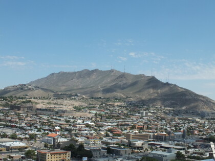
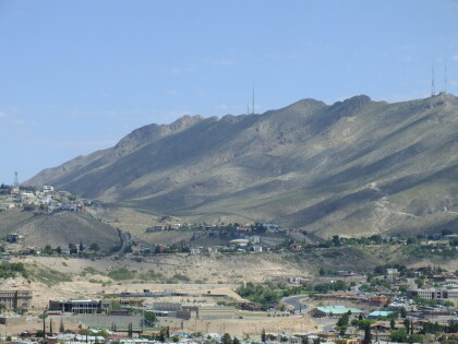
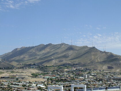
The Franklin Mountains extend from just north of downtown El Paso in El Paso County into southern Doña Ana County, New Mexico; their center is at 32°01' north latitude, 106°32' west longitude. They are roughly three miles wide by twenty-three miles long and rise to an elevation of 7,192 feet above sea level at North Franklin Mountain. The mountains divide the city of El Paso and have influenced its shape and growth. This range comprises the bulk of the second largest state park in Texas and what is said to be the largest urban park in the nation, Franklin Mountains State Park. http://www.tshaonline.org/handbook/online/articles/rjf14
Report this entry
More from the same community-collection
Northeast Mountains looking west.
Northeast Mountains looking west off Hondo Pass in the Sunrise ...
Northeast Mountains via Hondo Pass - El Paso, Texas
The end of Hondo Pass heading west. There is a really nice ...
View of Franklin Mountains and El Paso High
The image shows the westside of the Franklin Mountains. It ...
