First Lieutenant William Deane Hawkins - El Paso, Texas
Primer Teniente William Deane Hawkins - El Paso, Texas
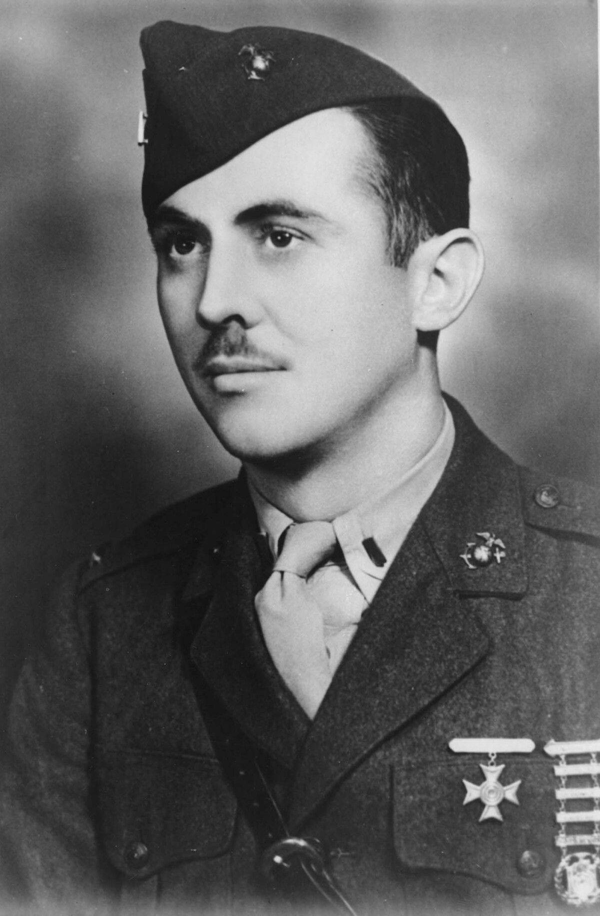
First Lieutenant William Deane Hawkins - El Paso, Texas
Deane Hawkins was a smart boy-at El Paso's Lamar and Alta Vista Schools and at El Paso High School. He skipped the fifth grade. He won the state chemistry essay contest, graduated from high school at sixteen, and was awarded a scholarship to the Texas College of Mines where he studied engineering. Like most sons of the poor, he worked after school and during summer vacations, he sold magazines and delivered newspapers; he was a bank messenger and he made photostats for an abstract company. He was a ranch hand, a railroad hand, a bellhop. At seventeen, he was skinny and six feet tall. He met a hotel guest who told him laborers were needed to lay a pipeline in New Mexico. In New Mexico the hiring boss laughed: "Sonny, two-hundred-pound men are collapsing on this job." But he gave the kid a chance, and Deane Hawkins worked twelve hours a day lifting, with the help of one full-grown man, four hundred-pound creosoted pipe. When his mother saw her son a week later, she was horrified at the skinny boy, burned by wind, sun, sand, and creosote. "I'm all right now, mom," he said, "but the first day I thought I'd die." The President of the United States takes pleasure in presenting the CONGRESSIONAL MEDAL OF HONOR posthumously to FIRST LIEUTENANT WILLIAM D. HAWKINS UNITED STATES MARINE CORPS RESERVE for service as set forth in the following CITATION: For valorous and gallant conduct above and beyond the call of duty as Commanding Officer of a Scout Sniper Platoon attached to the Second Marines, Second Marine Division, in action against Japanese-held Tarawa in the Gilbert Islands, November 20 and 21, 1943. The first to disembark from the jeep lighter, First lieutenant Hawkins unhesitatingly moved forward under heavy enemy fire at the end of the Betio pier, neutralizing emplacements in coverage of troops assaulting the main breach positions. Fearlessly leading his men on to join the forces fighting desperately to gain a beachhead, he repeatedly risked his life throughout the day and night to direct and lead attacks on pill boxes and installations with grenades and demolition. At dawn on the following day, First Lieutenant Hawkins returned to the dangerous mission of clearing the limited beachhead of Japanese resistance, personally initiating an assault on a hostile fortified by five enemy machine guns and, crawling forward in the face of withering fire, boldly fired point-blank into the loopholes and completed the destruction with grenades. Refusing to withdraw after being seriously wounded in the chest during this skirmish, First Lieutenant Hawkins steadfastly carried the fight to the enemy, destroying three more pill boxes before he was caught in a burst of Japanese shell fire and mortally wounded. His relentless fighting spirit in the face of formidable opposition and his exceptionally daring tactics were an inspiration to his comrades during the most crucial phase of the battle and reflect the highest credit upon the United States Naval Service. He gallantly gave his life for his country. (per https://www.mca-marines.org/gazette/guy-named-hawkins)
Report this entry
More from the same community-collection
New Mexico, Texas; Chihuahua, Mexico 1861-1865
Map of the borders between New Mexico, Texas and Chihuahua, ...
Map No. 1 from Fort Smith to the Rio Grande
Map of the route near the 35th parallel. Part of the ...
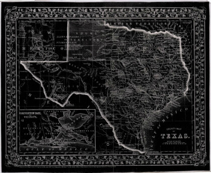
Texas, New Mexico, and Indian Territory
Map of Texas counties and New Mexico showing Indian Territories ...
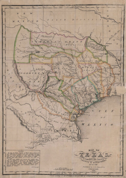
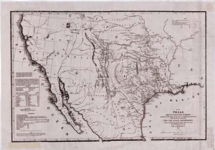
Texas: Containing the Latest Grants and Discoveries
Map of Texas containing the latest grants and discoveries in ...
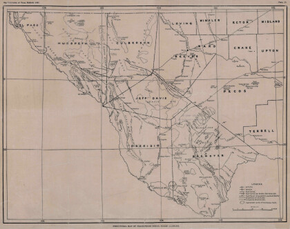
Structural Map of Trans-Pecos Texas
Map of the Trans-Pecos, Texas area; Outlines and lines are shown ...
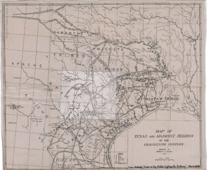
Map of Texas and Adjacent Regions in the Eighteenth Century
Map of Texas and the adjacent regions illustrating missions, ...
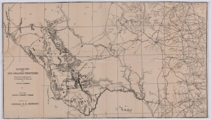
Military Map of the Rio Grande Frontier
Military map of the Rio Grande frontier prepared from original ...
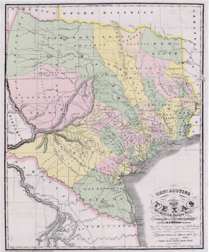
General Austin's Map of Texas with Parts of the Adjoining States
Colorful map of Texas highlighting the borders between states ...
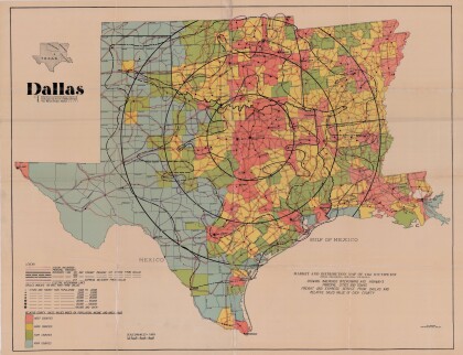
Dallas: Industrial and Distribution Center of the Southwest
Colorful market and distribution map of the Southwest - Texas, ...
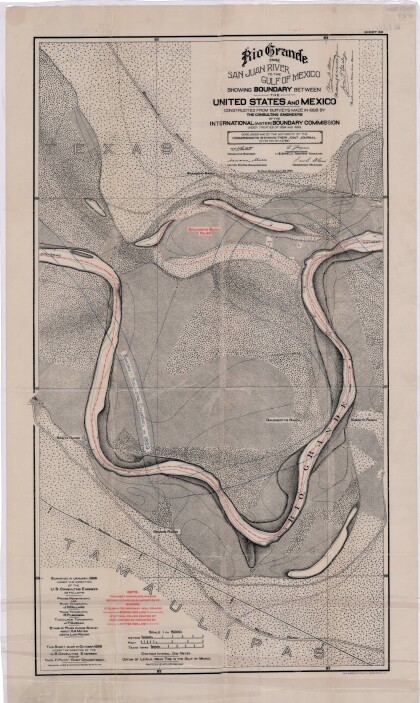
Rio Grande from San Juan River to the Gulf of Mexico
Map illustrates the Rio Grande from the San Juan River to the ...
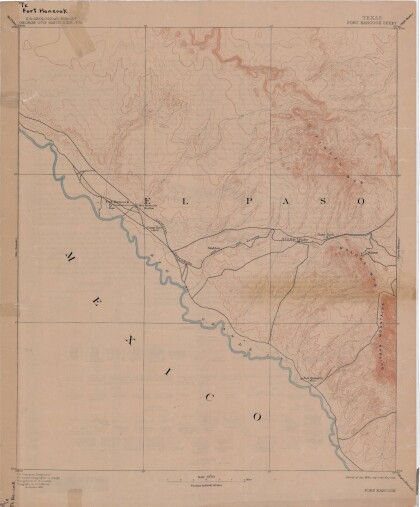
Map of Fort Hancock, Texas circa 1915
Topographical map indicating the location of Fort Hancock and ...
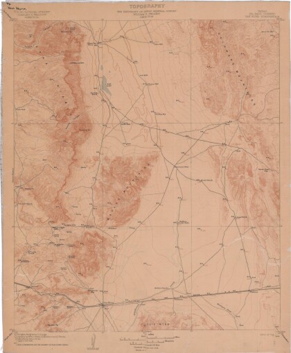
Topography: the University of Texas Mineral Survey
Topographic map of the Van Horn quadrangle in Texas. Indicates ...
J. De Cordova's State of Texas
This geographical map of Texas was compiled from the records of ...
