Map of Texas and the Countries Adjacent
Texas y los Países Adyacente
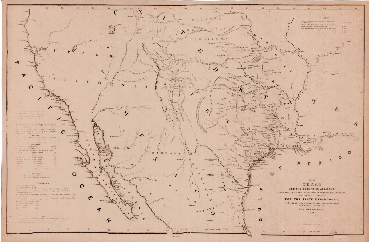
Map of Texas and the Countries Adjacent
This map of Texas and its adjacent countries was compiled for the state department and includes listed land, area, and population statistics, as well as references. Topographical features shown are sierras, mountains, lakes, rivers and rios. Indian tribe territories, trails, and military and discovery routes are indicated.
Report this entry
More from the same community-collection
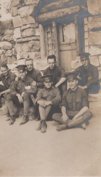
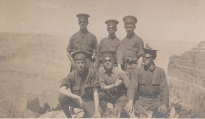
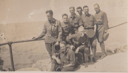
Men of the Richmond Light Infantry at the Grand Canyon
The Richmond Light Infantry visited the Grand Canyon during ...
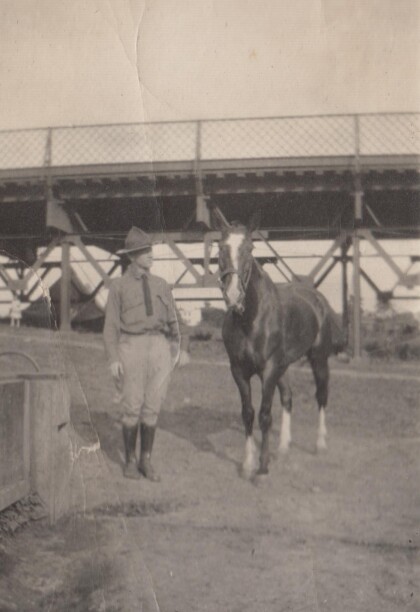
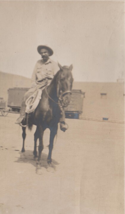
H.E. Featherstone and his horse, Sandy
Sandy is believed to be Featherstone's assigned horse while on ...
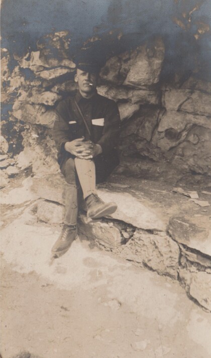
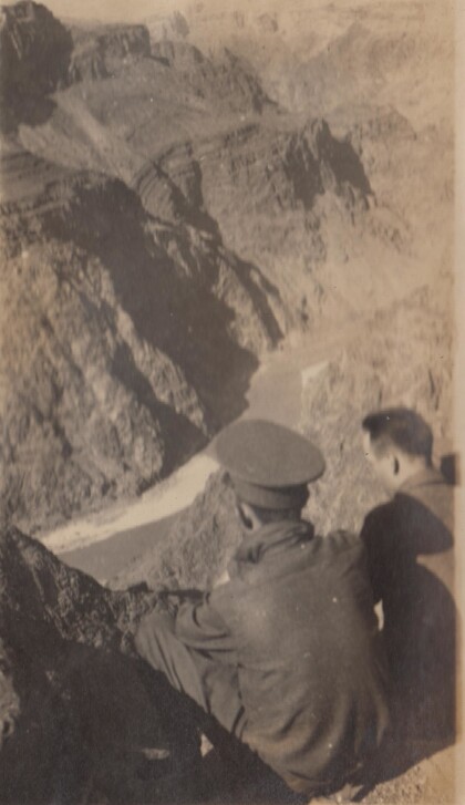
H.E. Featherstone at the Grand Canyon
The Richmond Light Infantry traveled to California in 1915, and ...
Men of the Richmond Light Infantry at the Grand Canyon
Another group photo of the Richmond Light Infantry at the Grand ...
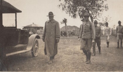
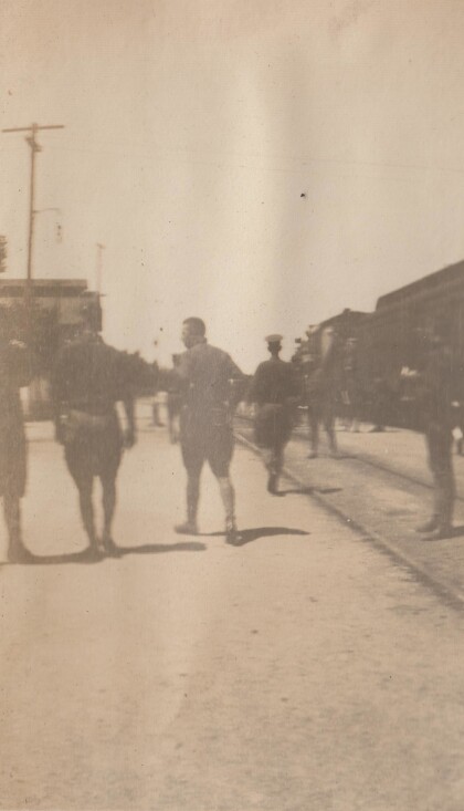
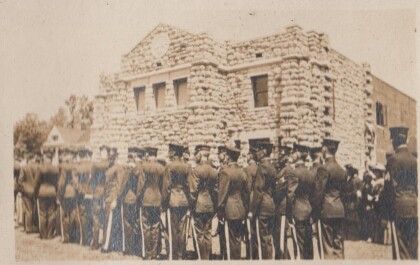
The Richmond Light Infantry lined up in marching order
This photo shows the Richmond Light Infantry in California. ...
All Female Airborne Operations - El, Paso, Texas
Spc. Lauran Venzor, C Company, 6th Brigade Engineer Battalion, ...
Oregon's first female tank mechanic
Spc. Samantha Brumley, a tank mechanic with F Company, 145th ...
A visit with the ostrich at Cattlemen's Restaurant 2015
Dining at Cattlemen's is great. Not only are the steaks ...
