Map of Texas and the Countries Adjacent
Texas y los Países Adyacente
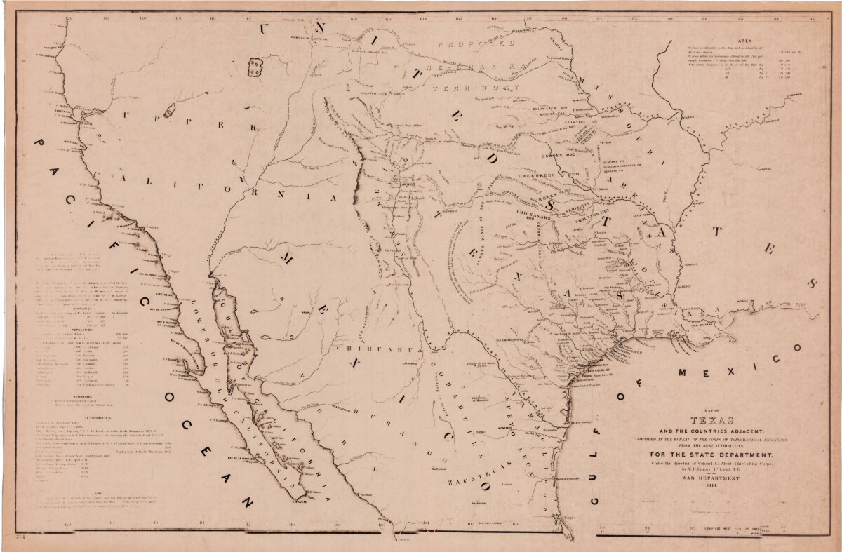
Map of Texas and the Countries Adjacent
This map of Texas and its adjacent countries was compiled for the state department and includes listed land, area, and population statistics, as well as references. Topographical features shown are sierras, mountains, lakes, rivers and rios. Indian tribe territories, trails, and military and discovery routes are indicated.
Report this entry
More from the same community-collection
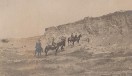
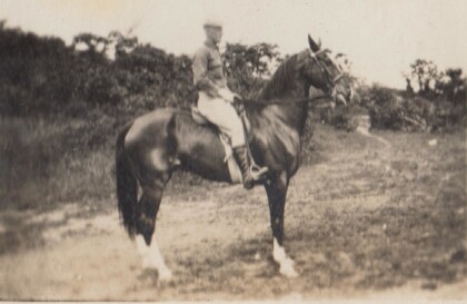
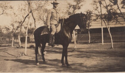
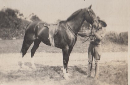
H. E. Featherstone on Horseback circa 1915
This is H.E. Featherstone, possibly on Sandy, the horse he rode ...
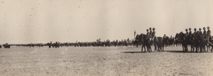
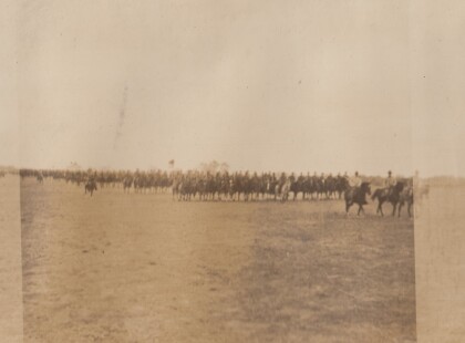
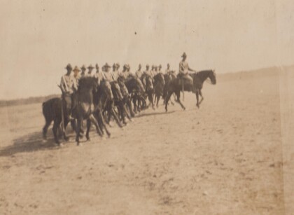
Sgt. Carr And His Platoon - 1910 - 1919
This is the Virginia Cavalry, at drill. The closest horses are ...
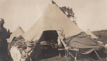
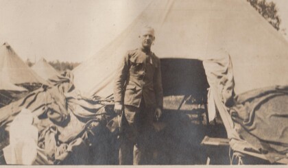
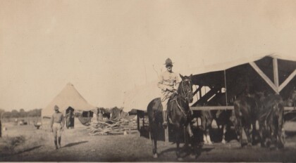
H.E. Featherstone at Gordonsville, Virginia
Featherstone in front of his tent at the camp in Gordonsville.
Blakeley, Bourne, Watkins, and Jones
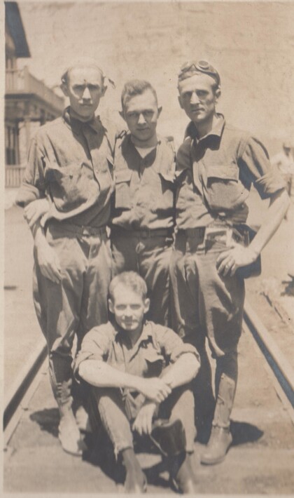
These soldiers are probably part of the Richmond Light Infantry, ...
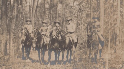
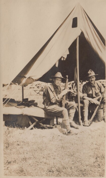
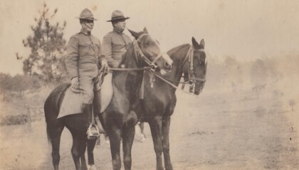
Captains Hewitt and Puller, Virginia Cavalry
Two officers from the Virginia Cavalry serving on the border.
