Map of the Rio Grande El Paso-Juarez Valley circa 1930
Mapa del Río Grande, el Valle El Paso-Juarez

Map of the Rio Grande El Paso-Juarez Valley circa 1930
This map illustrates the river path between El Paso, Texas and Juarez, Mexico. The location of the International Dam, Riverside Heading, Monument No. 1 and No. 21, Arroyo del Alamo, Diablo Arroyo, and Fort Quitman are pinpointed.
Report this entry
More from the same community-collection
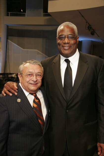
Texas Western Team at the White House 2006
White House Celebration for the Texas Western 1966 Champions.
Me throwing the first pitch at a Chihuahuas game
I was selected to throw the first pitch in a Chihuahuas game. ...
Rick Kern's Vocal Show Band - Tapestry, with Guy Lombardo.
This picture was taken in Springfield, Ohio right after one of ...


