Map of the Rio Grande El Paso-Juarez Valley circa 1930
Mapa del Río Grande, el Valle El Paso-Juarez

Map of the Rio Grande El Paso-Juarez Valley circa 1930
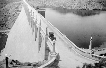
This map illustrates the river path between El Paso, Texas and Juarez, Mexico. The location of the International Dam, Riverside Heading, Monument No. 1 and No. 21, Arroyo del Alamo, Diablo Arroyo, and Fort Quitman are pinpointed.
Report this entry
More from the same community-collection
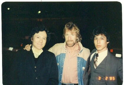
J. J. Armes, Chuck Norris, J. J. Armes III
J. J. Armes, Chuck Norris, J. J. Armes III in the year 1985. ...
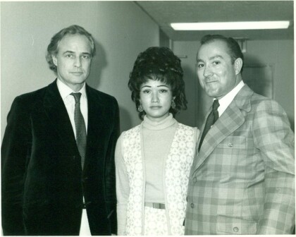
Marlon Brando, Linda Armes, and J. J. Armes
J. J. Armes, Linda Armes, and Marlon Brando. I had met Marlon ...
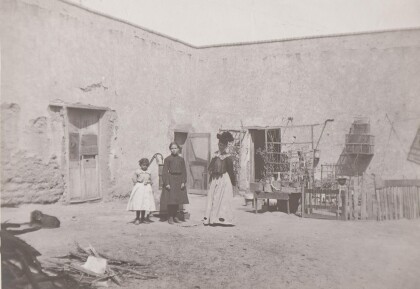
Outside of Adobe Home - Circa - 1900
Girls in front of adobe structure and water pump. Note the bird ...
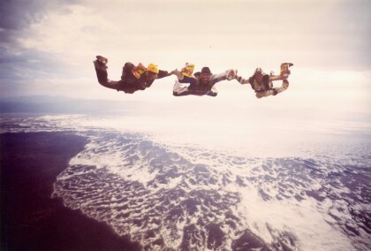
Skydiving promo for Nabisco over White Sands, NM
Allowed access to take off from Holloman AFB in Alamogordo, ...
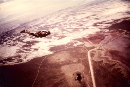
End of skydive over White Sands, NM
Skydiver tracking away from formation after a jump by White ...
