Map of the Rio Grande El Paso-Juarez Valley circa 1930
Mapa del Río Grande, el Valle El Paso-Juarez

Map of the Rio Grande El Paso-Juarez Valley circa 1930
This map illustrates the river path between El Paso, Texas and Juarez, Mexico. The location of the International Dam, Riverside Heading, Monument No. 1 and No. 21, Arroyo del Alamo, Diablo Arroyo, and Fort Quitman are pinpointed.
Report this entry
More from the same community-collection
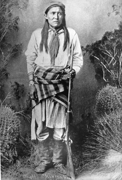
Chatto / Chato - Chiricahua Apache
Chato (1854-1934) was a Chiricahua Apache, born in 1854. He ...
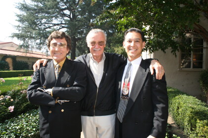
J. J. Armes, Stan Lee, and J. J. Armes III
You were approached by Stan Lee about creating a super hero of ...
J. J. Armes With President Bush and Vice President Cheney
J. J. Armes with President George W. Bush and Vice President ...
J. J. Armes, Investigating With A Magnifying Glass
J. J. Armes Investigating A Safe With A Magnifying Glass, ...
