Map of the Rio Grande El Paso-Juarez Valley circa 1930
Mapa del Río Grande, el Valle El Paso-Juarez

Map of the Rio Grande El Paso-Juarez Valley circa 1930
This map illustrates the river path between El Paso, Texas and Juarez, Mexico. The location of the International Dam, Riverside Heading, Monument No. 1 and No. 21, Arroyo del Alamo, Diablo Arroyo, and Fort Quitman are pinpointed.
Report this entry
More from the same community-collection
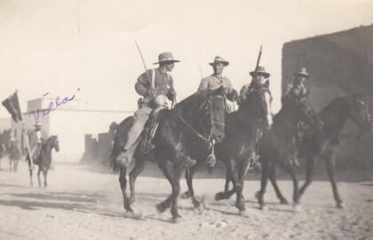
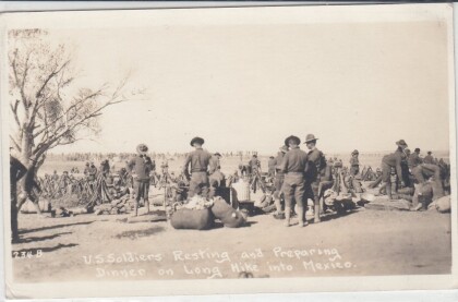
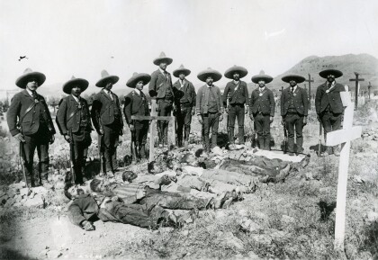
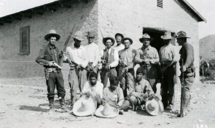
Soldiers During The Mexican Revolution
Notation on front of image: "Villa" Visible: Four men riding ...
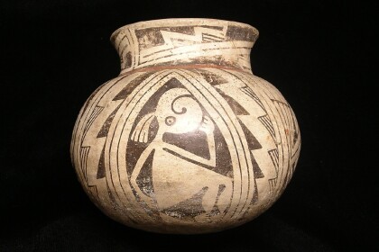
Casas Grande Pottery with the El Paso Museum of Archaeology Logo
Casas Grandes was a prehistoric trading center/religious center ...
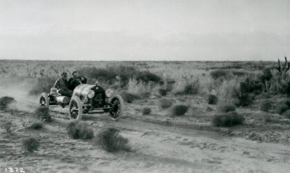
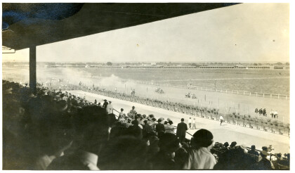
Johnny Hutchins in Car Race - El Paso, Texas
The picture shows driver Johnny Hutchins during the annual El ...
El Paso County Historical Society
Unidentified men on top of the train, and in front is an African ...
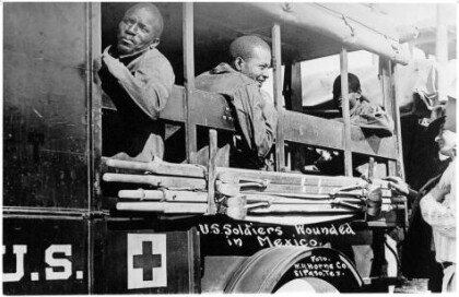
Wounded Soldiers - Buffalo Soldiers - 1916
In June, Pershing received intelligence that Villa was at ...
